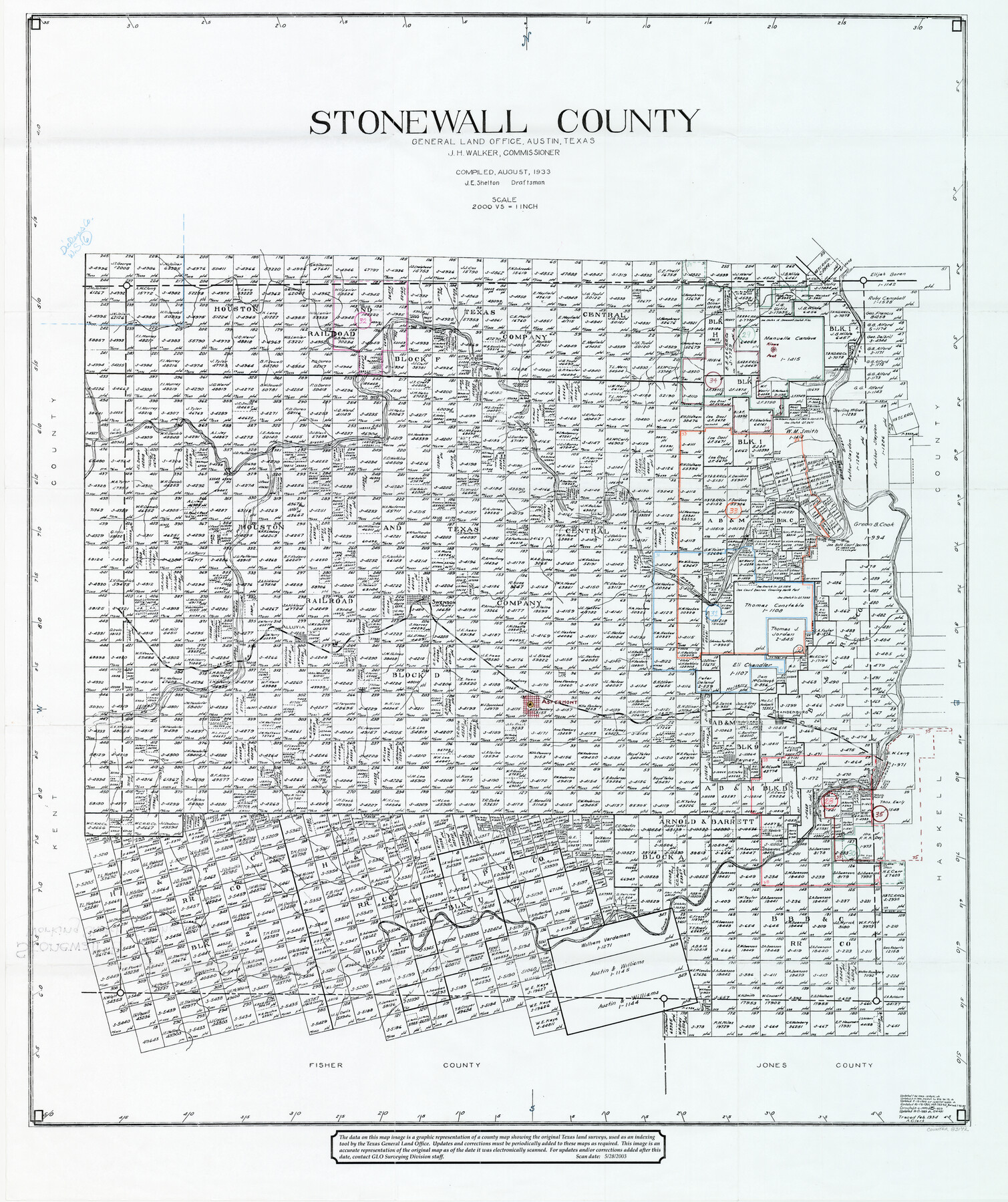
Stonewall County Working Sketch Graphic Index - sheet B
-
Map/Doc
83172
-
Collection
General Map Collection
-
Object Dates
8/1933 (Creation Date)
2/1934 (Tracing Date)
-
People and Organizations
J.E. Shelton (Draftsman)
A. Clark (Tracer)
-
Counties
Stonewall
-
Subjects
County Surveying Working Sketch
-
Height x Width
43.7 x 36.6 inches
111.0 x 93.0 cm
-
Scale
1" = 2000 varas
Part of: General Map Collection
Chambers County Rolled Sketch 8

Print $20.00
- Digital $50.00
Chambers County Rolled Sketch 8
Size 39.8 x 30.5 inches
Map/Doc 8612
Map of Europe to illustrate Olney's school geography (Inset: Central Europe)

Print $20.00
- Digital $50.00
Map of Europe to illustrate Olney's school geography (Inset: Central Europe)
1844
Size 12.1 x 19.0 inches
Map/Doc 93546
Kerr County Boundary File 4

Print $4.00
- Digital $50.00
Kerr County Boundary File 4
Size 11.1 x 8.3 inches
Map/Doc 64799
Red River, Levee Improvement Districts Widths of Floodways - Bois D'Arc Creek

Print $20.00
- Digital $50.00
Red River, Levee Improvement Districts Widths of Floodways - Bois D'Arc Creek
1921
Size 29.5 x 26.0 inches
Map/Doc 65271
Gaines County Working Sketch 1

Print $40.00
- Digital $50.00
Gaines County Working Sketch 1
1937
Size 22.7 x 53.1 inches
Map/Doc 69301
Duval County Sketch File 36a

Print $10.00
- Digital $50.00
Duval County Sketch File 36a
1935
Size 11.4 x 8.8 inches
Map/Doc 21380
Flight Mission No. DQN-1K, Frame 158, Calhoun County

Print $20.00
- Digital $50.00
Flight Mission No. DQN-1K, Frame 158, Calhoun County
1953
Size 18.6 x 22.3 inches
Map/Doc 84217
Presidio County Rolled Sketch 22

Print $20.00
- Digital $50.00
Presidio County Rolled Sketch 22
1885
Size 37.7 x 28.7 inches
Map/Doc 7331
Randall County Rolled Sketch 9

Print $20.00
- Digital $50.00
Randall County Rolled Sketch 9
Size 47.5 x 35.8 inches
Map/Doc 9808
Wharton County Working Sketch 7

Print $20.00
- Digital $50.00
Wharton County Working Sketch 7
1989
Size 27.7 x 24.9 inches
Map/Doc 72471
Hardin County Working Sketch 1

Print $20.00
- Digital $50.00
Hardin County Working Sketch 1
1903
Size 27.8 x 18.7 inches
Map/Doc 63399
Flight Mission No. DAG-23K, Frame 164, Matagorda County

Print $20.00
- Digital $50.00
Flight Mission No. DAG-23K, Frame 164, Matagorda County
1953
Size 18.6 x 22.3 inches
Map/Doc 86502
You may also like
Williamson County Rolled Sketch 11

Print $20.00
- Digital $50.00
Williamson County Rolled Sketch 11
Size 37.5 x 28.4 inches
Map/Doc 8268
Wilson County Working Sketch 8

Print $20.00
- Digital $50.00
Wilson County Working Sketch 8
1975
Size 36.5 x 31.9 inches
Map/Doc 72588
General Highway Map, El Paso County, Texas

Print $20.00
General Highway Map, El Paso County, Texas
1961
Size 18.1 x 24.5 inches
Map/Doc 79456
Borden County Working Sketch 10

Print $20.00
- Digital $50.00
Borden County Working Sketch 10
1953
Size 32.2 x 20.4 inches
Map/Doc 67470
Dallas County Boundary File 8 and 8a

Print $4.00
- Digital $50.00
Dallas County Boundary File 8 and 8a
Size 11.2 x 8.7 inches
Map/Doc 52311
Coast Chart No. 212 - From Latitude 26° 33' to the Rio Grande, Texas

Print $20.00
- Digital $50.00
Coast Chart No. 212 - From Latitude 26° 33' to the Rio Grande, Texas
1886
Size 30.5 x 24.1 inches
Map/Doc 73504
Terrell County Working Sketch 20

Print $20.00
- Digital $50.00
Terrell County Working Sketch 20
1934
Size 20.5 x 19.4 inches
Map/Doc 62170
Flight Mission No. DCL-7C, Frame 45, Kenedy County

Print $20.00
- Digital $50.00
Flight Mission No. DCL-7C, Frame 45, Kenedy County
1943
Size 15.4 x 15.3 inches
Map/Doc 86033
Yoakum County, Texas

Print $20.00
- Digital $50.00
Yoakum County, Texas
1936
Size 38.4 x 43.5 inches
Map/Doc 89903
Railroad Track Map, H&TCRRCo., Falls County, Texas

Print $4.00
- Digital $50.00
Railroad Track Map, H&TCRRCo., Falls County, Texas
1918
Size 11.3 x 18.5 inches
Map/Doc 62847
Controlled Mosaic by Jack Amman Photogrammetric Engineers, Inc - Sheet 20

Print $20.00
- Digital $50.00
Controlled Mosaic by Jack Amman Photogrammetric Engineers, Inc - Sheet 20
1954
Size 20.0 x 24.0 inches
Map/Doc 83466
Duval County Sketch File 85

Print $27.00
- Digital $50.00
Duval County Sketch File 85
1935
Size 14.3 x 9.1 inches
Map/Doc 21534