Webb County Rolled Sketch 47
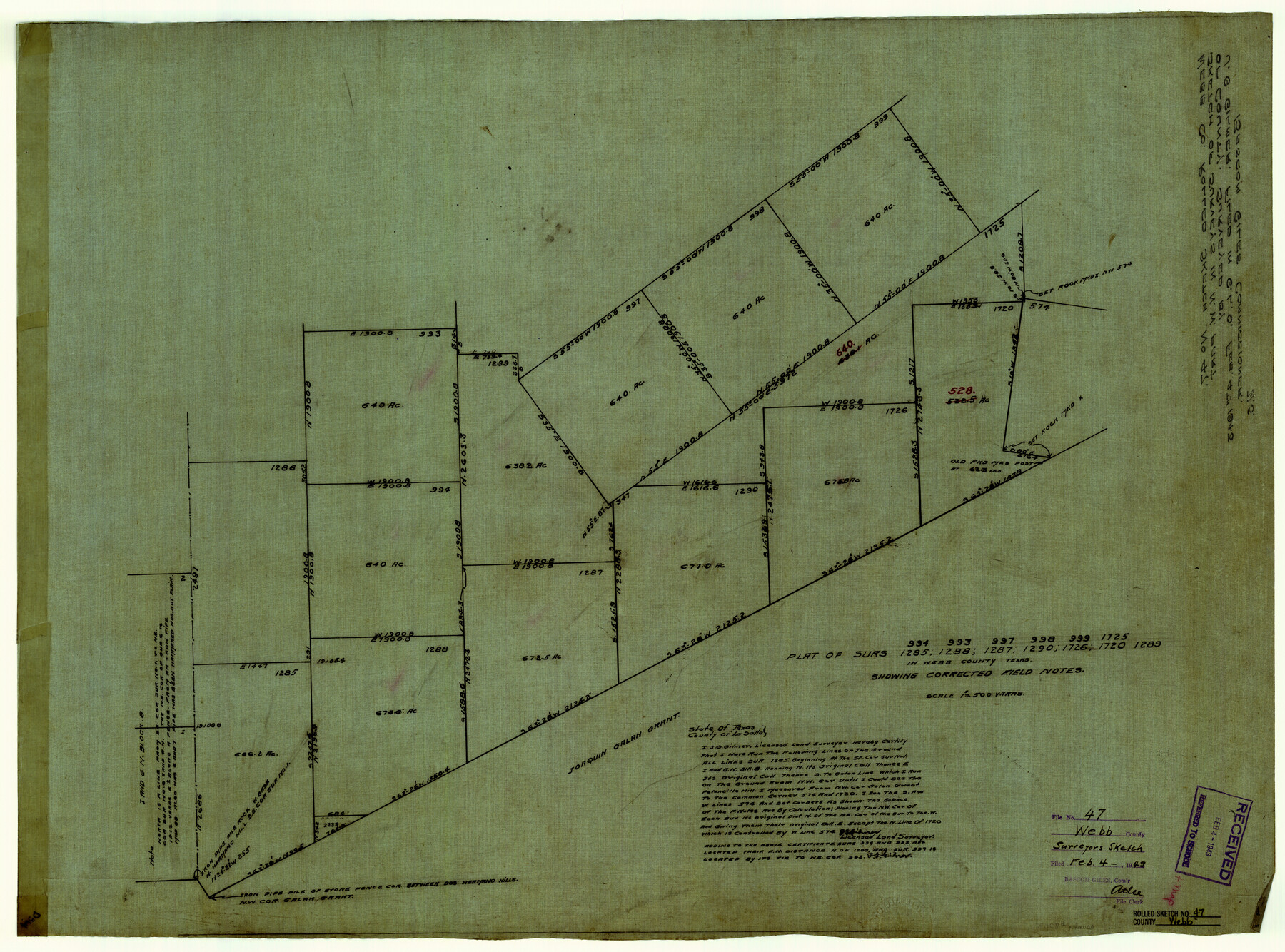
Plat of surs. 994, 993, 997, 998, 999, 1725, 1285, 1288, 1287, 1290, 1726, 1720, 1289 in Webb County, Texas showing corrected field notes
-
Map/Doc
8203
-
Collection
General Map Collection
-
Object Dates
1943/2/4 (File Date)
-
People and Organizations
J.G. Gilmer (Surveyor/Engineer)
-
Counties
Webb
-
Subjects
Surveying Rolled Sketch
-
Height x Width
23.5 x 31.7 inches
59.7 x 80.5 cm
-
Medium
linen, manuscript
-
Scale
1" = 500 varas
Part of: General Map Collection
Mitchell County Boundary File 1c

Print $12.00
- Digital $50.00
Mitchell County Boundary File 1c
Size 8.7 x 12.3 inches
Map/Doc 57361
Jefferson County Rolled Sketch 12

Print $2.00
- Digital $50.00
Jefferson County Rolled Sketch 12
Size 10.6 x 8.2 inches
Map/Doc 76004
Hays County Sketch File 19a

Print $39.00
- Digital $50.00
Hays County Sketch File 19a
1894
Size 19.4 x 28.6 inches
Map/Doc 11749
Grid Map Showing Texas, Louisiana, Arkansas, Mississippi and portions of New Mexico, Oklahoma and Tennessee

Print $40.00
- Digital $50.00
Grid Map Showing Texas, Louisiana, Arkansas, Mississippi and portions of New Mexico, Oklahoma and Tennessee
1940
Size 34.2 x 48.1 inches
Map/Doc 3121
Map of Fannin County

Print $20.00
- Digital $50.00
Map of Fannin County
1845
Size 34.7 x 36.5 inches
Map/Doc 16827
Leon County Sketch File 38

Print $10.00
- Digital $50.00
Leon County Sketch File 38
1999
Size 11.0 x 8.5 inches
Map/Doc 29878
Presidio County Working Sketch 78

Print $20.00
- Digital $50.00
Presidio County Working Sketch 78
1965
Size 24.8 x 25.1 inches
Map/Doc 71755
Pecos County Rolled Sketch 69

Print $20.00
- Digital $50.00
Pecos County Rolled Sketch 69
Size 37.9 x 33.8 inches
Map/Doc 9701
Flight Mission No. BQR-9K, Frame 49, Brazoria County

Print $20.00
- Digital $50.00
Flight Mission No. BQR-9K, Frame 49, Brazoria County
1952
Size 18.6 x 22.3 inches
Map/Doc 84053
Reagan County Rolled Sketch 19

Print $20.00
- Digital $50.00
Reagan County Rolled Sketch 19
1939
Size 24.0 x 20.5 inches
Map/Doc 7445
Wheeler County

Print $20.00
- Digital $50.00
Wheeler County
1899
Size 42.2 x 37.9 inches
Map/Doc 95672
Galveston County Sketch File 66

Print $116.00
- Digital $50.00
Galveston County Sketch File 66
Size 5.0 x 10.0 inches
Map/Doc 23751
You may also like
Orange County Rolled Sketch 21

Print $20.00
- Digital $50.00
Orange County Rolled Sketch 21
Size 34.3 x 42.5 inches
Map/Doc 9646
Map Showing North and West Boundaries of Gray County, Texas

Print $20.00
- Digital $50.00
Map Showing North and West Boundaries of Gray County, Texas
1906
Size 42.4 x 38.9 inches
Map/Doc 89942
Pecos County Working Sketch 99

Print $20.00
- Digital $50.00
Pecos County Working Sketch 99
1970
Size 43.4 x 31.2 inches
Map/Doc 71572
Smith's Atlas designed to accompany the Geography

Print $352.00
- Digital $50.00
Smith's Atlas designed to accompany the Geography
1850
Size 12.2 x 10.0 inches
Map/Doc 93881
Harris County Sketch File 73

Print $6.00
- Digital $50.00
Harris County Sketch File 73
1942
Size 11.3 x 8.9 inches
Map/Doc 25539
DeWitt County

Print $40.00
- Digital $50.00
DeWitt County
1987
Size 42.1 x 50.6 inches
Map/Doc 95481
Comanche County Sketch File 22b

Print $40.00
- Digital $50.00
Comanche County Sketch File 22b
1872
Size 12.1 x 14.8 inches
Map/Doc 19109
Brewster County Rolled Sketch 131

Print $20.00
- Digital $50.00
Brewster County Rolled Sketch 131
1975
Size 30.0 x 32.3 inches
Map/Doc 8522
Flight Mission No. CGI-3N, Frame 108, Cameron County

Print $20.00
- Digital $50.00
Flight Mission No. CGI-3N, Frame 108, Cameron County
1954
Size 18.6 x 22.2 inches
Map/Doc 84588
Harris County Sketch File 80b

Print $20.00
- Digital $50.00
Harris County Sketch File 80b
Size 31.5 x 17.2 inches
Map/Doc 11668
Carte Geographique, Statistique et Historique du Mexique

Print $20.00
Carte Geographique, Statistique et Historique du Mexique
1824
Size 22.3 x 28.1 inches
Map/Doc 79315
