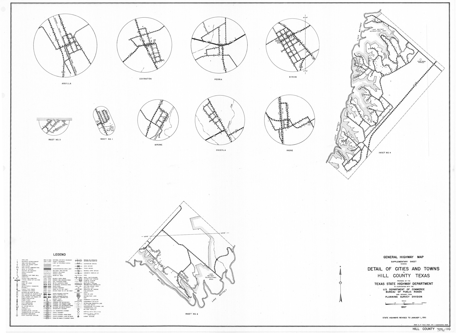
General Highway Map. Detail of Cities and Towns in Hill County, Texas
- 
                          Map/Doc
79521
 - 
                            Collection
Texas State Library and Archives
 - 
                            Object Dates
1961 (Creation Date)
 - 
                            People and Organizations
Texas State Highway Department (Publisher)
 - 
                            Counties
Hill
 - 
                            Subjects
City County
 - 
                            Height x Width
18.1 x 24.7 inches
46.0 x 62.7 cm
 - 
                            Comments
Prints available courtesy of the Texas State Library and Archives.
More info can be found here: TSLAC Map 05175 
Part of: Texas State Library and Archives
            General Highway Map.  Detail of Cities and Towns in Bell County, Texas [Temple]


                                            Print $20.00                    
                                    
                General Highway Map. Detail of Cities and Towns in Bell County, Texas [Temple]
1961
Size 18.2 x 25.0 inches
                                Map/Doc 79368
            
            General Highway Map, Taylor County, Texas


                                            Print $20.00                    
                                    
                General Highway Map, Taylor County, Texas
1940
Size 18.6 x 25.0 inches
                                Map/Doc 79254
            
            General Highway Map, Rains County, Texas


                                            Print $20.00                    
                                    
                General Highway Map, Rains County, Texas
1961
Size 18.1 x 24.4 inches
                                Map/Doc 79634
            
            General Highway Map, Harrison County, Texas


                                            Print $20.00                    
                                    
                General Highway Map, Harrison County, Texas
1961
Size 18.3 x 24.8 inches
                                Map/Doc 79509
            
            General Highway Map, Matagorda County, Texas


                                            Print $20.00                    
                                    
                General Highway Map, Matagorda County, Texas
1939
Size 24.6 x 18.4 inches
                                Map/Doc 79188
            
            General Highway Map, Brazoria County, Texas


                                            Print $20.00                    
                                    
                General Highway Map, Brazoria County, Texas
1939
Size 18.6 x 25.0 inches
                                Map/Doc 79024
            
            General Highway Map, Panola County, Texas


                                            Print $20.00                    
                                    
                General Highway Map, Panola County, Texas
1961
Size 18.1 x 24.5 inches
                                Map/Doc 79624
            
            Map of the United States and their Territories between the Mississippi and the Pacific Ocean and Part of Mexico


                                            Print $20.00                    
                                    
                Map of the United States and their Territories between the Mississippi and the Pacific Ocean and Part of Mexico
1857
Size 21.8 x 24.7 inches
                                Map/Doc 79724
            
            General Highway Map, Waller County, Texas


                                            Print $20.00                    
                                    
                General Highway Map, Waller County, Texas
1939
Size 25.1 x 18.5 inches
                                Map/Doc 79270
            
            General Highway Map, Edwards County, Real County, Texas


                                            Print $20.00                    
                                    
                General Highway Map, Edwards County, Real County, Texas
1940
Size 18.3 x 24.8 inches
                                Map/Doc 79082
            
            Map of the United States to accompany Granger's Southern and Western Texas Guide


                                            Print $20.00                    
                                    
                Map of the United States to accompany Granger's Southern and Western Texas Guide
1878
Size 26.4 x 20.4 inches
                                Map/Doc 76236
            
            General Highway Map, Clay County, Texas


                                            Print $20.00                    
                                    
                General Highway Map, Clay County, Texas
1961
Size 24.8 x 18.2 inches
                                Map/Doc 79409
            You may also like
            Atascosa County Working Sketch 10


                                            Print $20.00                    
                                             -                         Digital $50.00                                    
                Atascosa County Working Sketch 10
1919
Size 26.2 x 22.3 inches
                                Map/Doc 67206
            
            Working Sketch in Bastrop County


                                            Print $20.00                    
                                             -                         Digital $50.00                                    
                Working Sketch in Bastrop County
1921
Size 14.0 x 15.8 inches
                                Map/Doc 90232
            
            Fayette County Working Sketch 5


                                            Print $20.00                    
                                             -                         Digital $50.00                                    
                Fayette County Working Sketch 5
1981
Size 16.2 x 14.6 inches
                                Map/Doc 69169
            
            Outer Continental Shelf Leasing Maps (Louisiana Offshore Operations)


                                            Print $20.00                    
                                             -                         Digital $50.00                                    
                Outer Continental Shelf Leasing Maps (Louisiana Offshore Operations)
1971
Size 20.2 x 15.0 inches
                                Map/Doc 76092
            
            Cameron County Sketch File 11


                                            Print $58.00                    
                                             -                         Digital $50.00                                    
                Cameron County Sketch File 11
1991
Size 11.0 x 7.9 inches
                                Map/Doc 17207
            
            Caldwell County Working Sketch 1


                                            Print $20.00                    
                                             -                         Digital $50.00                                    
                Caldwell County Working Sketch 1
Size 20.7 x 26.2 inches
                                Map/Doc 67831
            
            Cass County Rolled Sketch 2


                                            Print $20.00                    
                                             -                         Digital $50.00                                    
                Cass County Rolled Sketch 2
1936
Size 35.2 x 18.0 inches
                                Map/Doc 5409
            
            [Sketch of part of G. & M. Block 5]


                                            Print $2.00                    
                                             -                         Digital $50.00                                    
                [Sketch of part of G. & M. Block 5]
Size 3.9 x 6.6 inches
                                Map/Doc 93072
            
            Coast Chart No. 210 Aransas Pass and Corpus Christi Bay with the coast to latitude 27° 12' Texas


                                            Print $20.00                    
                                             -                         Digital $50.00                                    
                Coast Chart No. 210 Aransas Pass and Corpus Christi Bay with the coast to latitude 27° 12' Texas
1887
Size 27.6 x 18.2 inches
                                Map/Doc 72789
            
            Garza County Sketch File G-1


                                            Print $20.00                    
                                             -                         Digital $50.00                                    
                Garza County Sketch File G-1
1904
Size 20.4 x 20.6 inches
                                Map/Doc 11554
            
            Young County Working Sketch 2


                                            Print $20.00                    
                                             -                         Digital $50.00                                    
                Young County Working Sketch 2
1918
Size 28.1 x 33.7 inches
                                Map/Doc 62025
            
            Sutton County Sketch File C


                                            Print $6.00                    
                                             -                         Digital $50.00                                    
                Sutton County Sketch File C
1900
Size 14.0 x 8.6 inches
                                Map/Doc 37379