General Highway Map. Detail of Cities and Towns in Harris County, Texas. City Map [of] Houston, Pasadena, West University Place, Bellaire, Galena Park, Jacinto City, South Houston, South Side Place, Deer Park, and vicinity, Harris County, Texas
-
Map/Doc
79505
-
Collection
Texas State Library and Archives
-
Object Dates
1961 (Creation Date)
-
People and Organizations
Texas State Highway Department (Publisher)
-
Counties
Harris
-
Subjects
City County
-
Height x Width
18.0 x 25.0 inches
45.7 x 63.5 cm
-
Comments
Prints available courtesy of the Texas State Library and Archives.
More info can be found here: TSLAC Map 05164
Part of: Texas State Library and Archives
General Highway Map, Freestone County, Texas


Print $20.00
General Highway Map, Freestone County, Texas
1940
Size 18.6 x 25.1 inches
Map/Doc 79094
Map of Texas, compiled from surveys on record in the General Land Office of the Republic


Print $20.00
Map of Texas, compiled from surveys on record in the General Land Office of the Republic
1839
Size 32.0 x 24.9 inches
Map/Doc 76198
General Highway Map, Medina County, Texas


Print $20.00
General Highway Map, Medina County, Texas
1940
Size 18.3 x 24.5 inches
Map/Doc 79194
General Highway Map. Detail of Cities and Towns in El Paso County, Texas [El Paso and vicinity]
![79085, General Highway Map. Detail of Cities and Towns in El Paso County, Texas [El Paso and vicinity], Texas State Library and Archives](https://historictexasmaps.com/wmedia_w700/maps/79085.tif.jpg)
![79085, General Highway Map. Detail of Cities and Towns in El Paso County, Texas [El Paso and vicinity], Texas State Library and Archives](https://historictexasmaps.com/wmedia_w700/maps/79085.tif.jpg)
Print $20.00
General Highway Map. Detail of Cities and Towns in El Paso County, Texas [El Paso and vicinity]
1940
Size 24.7 x 18.3 inches
Map/Doc 79085
General Soil Map of Texas


Print $20.00
General Soil Map of Texas
1935
Size 35.2 x 46.4 inches
Map/Doc 76309
General Highway Map, Kenedy County, Texas


Print $20.00
General Highway Map, Kenedy County, Texas
1961
Size 18.0 x 24.6 inches
Map/Doc 79446
General Highway Map, Jim Wells County, Texas
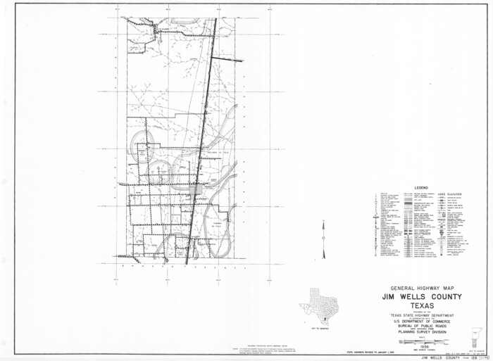

Print $20.00
General Highway Map, Jim Wells County, Texas
1961
Size 18.1 x 24.7 inches
Map/Doc 79542
General Highway Map, Jasper County, Texas
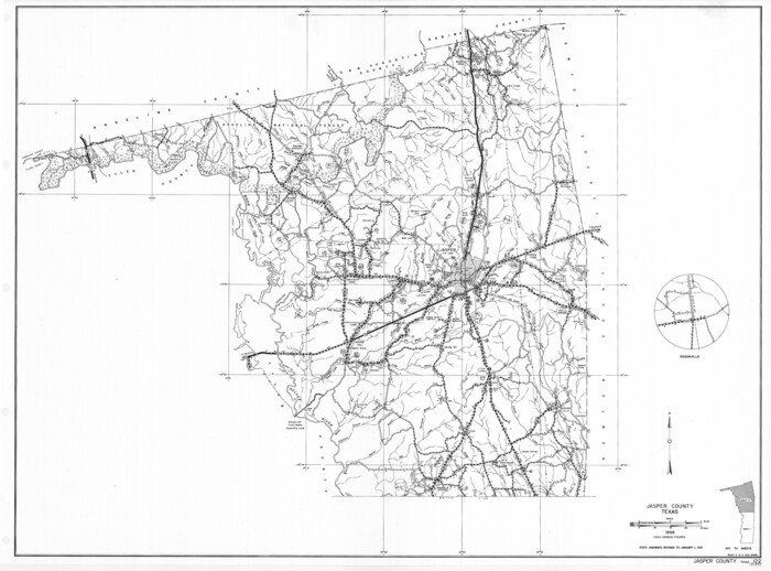

Print $20.00
General Highway Map, Jasper County, Texas
1961
Size 18.3 x 24.7 inches
Map/Doc 79535
Map of Texas to Accompany Granger's Southern and Western Texas Guide


Print $20.00
Map of Texas to Accompany Granger's Southern and Western Texas Guide
1878
Size 26.4 x 20.4 inches
Map/Doc 76235
General Highway Map, Zapata County, Texas


Print $20.00
General Highway Map, Zapata County, Texas
1961
Size 18.2 x 24.8 inches
Map/Doc 79721
General Highway Map, Dimmit County, La Salle County, Texas
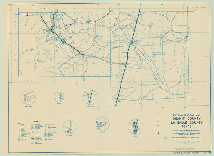

Print $20.00
General Highway Map, Dimmit County, La Salle County, Texas
1940
Size 18.4 x 25.2 inches
Map/Doc 79077
General Highway Map, Hardin County, Texas
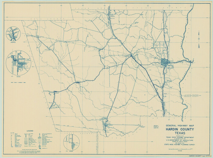

Print $20.00
General Highway Map, Hardin County, Texas
1940
Size 18.4 x 24.8 inches
Map/Doc 79114
You may also like
The Judicial District/County of Spring Creek. Abolished, Spring 1842


Print $20.00
The Judicial District/County of Spring Creek. Abolished, Spring 1842
2020
Size 15.7 x 21.7 inches
Map/Doc 96349
Gillespie County Sketch File 16


Print $20.00
- Digital $50.00
Gillespie County Sketch File 16
1951
Size 18.2 x 17.9 inches
Map/Doc 11557
Trinity River, Five Mile Creek Sheet
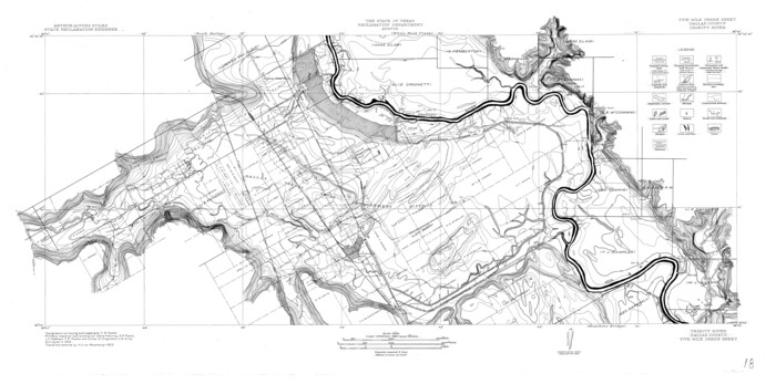

Print $20.00
- Digital $50.00
Trinity River, Five Mile Creek Sheet
1923
Size 20.0 x 40.4 inches
Map/Doc 65197
Sketch in Atascosa County


Print $3.00
- Digital $50.00
Sketch in Atascosa County
1890
Size 12.6 x 11.4 inches
Map/Doc 578
Calcasieu Pass to Sabine Pass
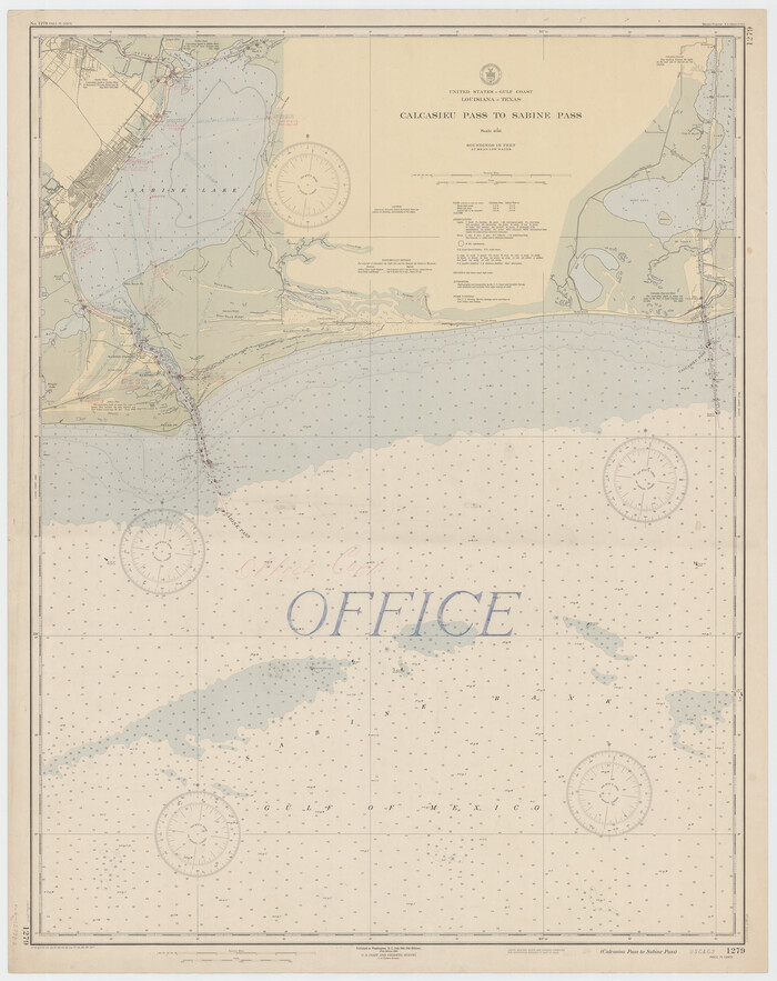

Print $20.00
- Digital $50.00
Calcasieu Pass to Sabine Pass
1946
Size 45.0 x 35.7 inches
Map/Doc 69807
Webb County Rolled Sketch 35
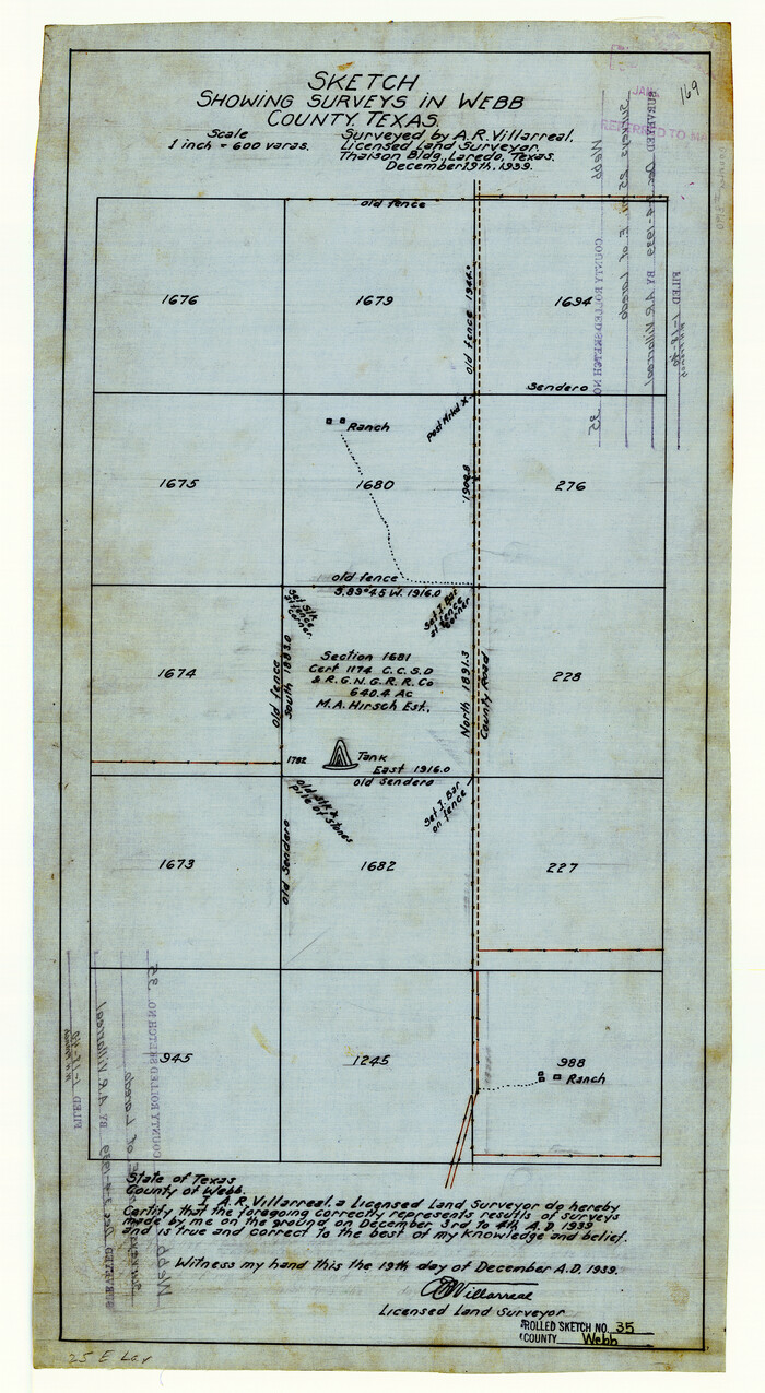

Print $20.00
- Digital $50.00
Webb County Rolled Sketch 35
1939
Size 23.1 x 12.7 inches
Map/Doc 8190
Somervell County


Print $20.00
- Digital $50.00
Somervell County
1941
Size 27.5 x 26.7 inches
Map/Doc 63042
Midland County
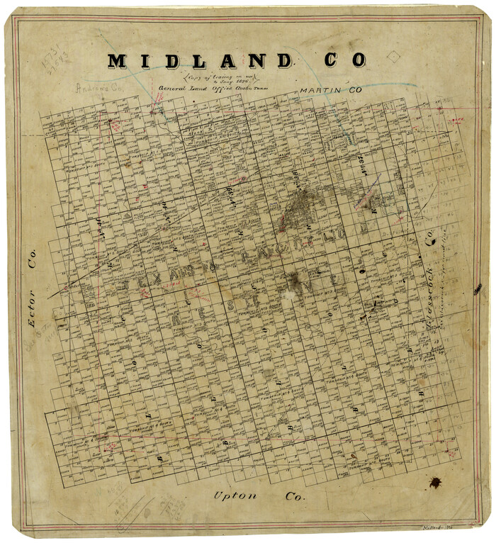

Print $20.00
- Digital $50.00
Midland County
1896
Size 23.0 x 21.1 inches
Map/Doc 3878
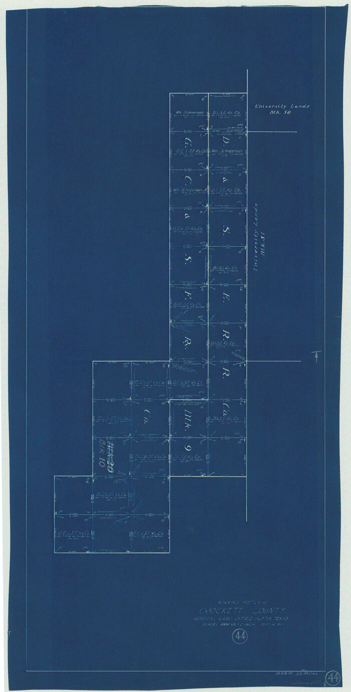
Crockett County Working Sketch 44

Print $20.00
- Digital $50.00
Crockett County Working Sketch 44
1933
Size 34.2 x 17.4 inches
Map/Doc 68377
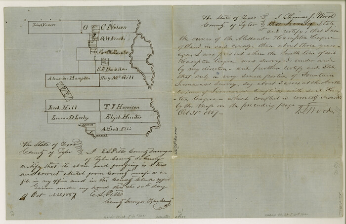
Hardin County Sketch File 16a

Print $3.00
- Digital $50.00
Hardin County Sketch File 16a
1837
Size 10.4 x 16.0 inches
Map/Doc 25129
Dimmit County Sketch File 2


Print $6.00
- Digital $50.00
Dimmit County Sketch File 2
Size 8.6 x 7.9 inches
Map/Doc 21055
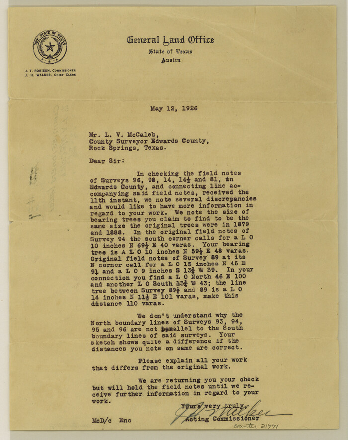
Edwards County Sketch File 37

Print $4.00
- Digital $50.00
Edwards County Sketch File 37
1926
Size 11.3 x 9.0 inches
Map/Doc 21771
![79505, General Highway Map. Detail of Cities and Towns in Harris County, Texas. City Map [of] Houston, Pasadena, West University Place, Bellaire, Galena Park, Jacinto City, South Houston, South Side Place, Deer Park, and vicinity, Harris County, Texas, Texas State Library and Archives](https://historictexasmaps.com/wmedia_w1800h1800/maps/79505.tif.jpg)