General Highway Map. Detail of Cities and Towns in Grayson County, Texas [Denison and Sherman]
- 
                          Map/Doc
79486
 - 
                            Collection
Texas State Library and Archives
 - 
                            Object Dates
1961 (Creation Date)
 - 
                            People and Organizations
Texas State Highway Department (Publisher)
 - 
                            Counties
Grayson
 - 
                            Subjects
City County
 - 
                            Height x Width
18.1 x 24.6 inches
46.0 x 62.5 cm
 - 
                            Comments
Prints available courtesy of the Texas State Library and Archives.
More info can be found here: TSLAC Map 05148 
Part of: Texas State Library and Archives
            General Highway Map.  Detail of Cities and Towns in Hutchinson County, Texas  [Borger, Stinnett and vicinity]


                                            Print $20.00                    
                                    
                General Highway Map. Detail of Cities and Towns in Hutchinson County, Texas [Borger, Stinnett and vicinity]
1961
Size 24.6 x 18.3 inches
                                Map/Doc 79530
            
            Map of Texas.  The Proposed Reoccupation of the Rio Grande -- Its Importance to the Union


                                            Print $20.00                    
                                    
                Map of Texas. The Proposed Reoccupation of the Rio Grande -- Its Importance to the Union
1965
Size 14.1 x 8.6 inches
                                Map/Doc 76264
            
            General Highway Map, Donley County, Texas


                                            Print $20.00                    
                                    
                General Highway Map, Donley County, Texas
1961
Size 24.4 x 18.3 inches
                                Map/Doc 79445
            
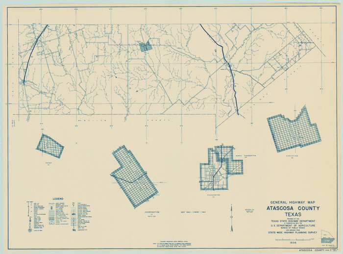
            General Highway Map, Atascosa County, Texas


                                            Print $20.00                    
                                    
                General Highway Map, Atascosa County, Texas
1940
Size 18.5 x 25.0 inches
                                Map/Doc 79007
            
            General Highway Map, Nacogdoches County, Texas


                                            Print $20.00                    
                                    
                General Highway Map, Nacogdoches County, Texas
1961
Size 19.3 x 25.0 inches
                                Map/Doc 79606
            
            General Highway Map, Martin County, Texas


                                            Print $20.00                    
                                    
                General Highway Map, Martin County, Texas
1940
Size 18.2 x 24.6 inches
                                Map/Doc 79185
            
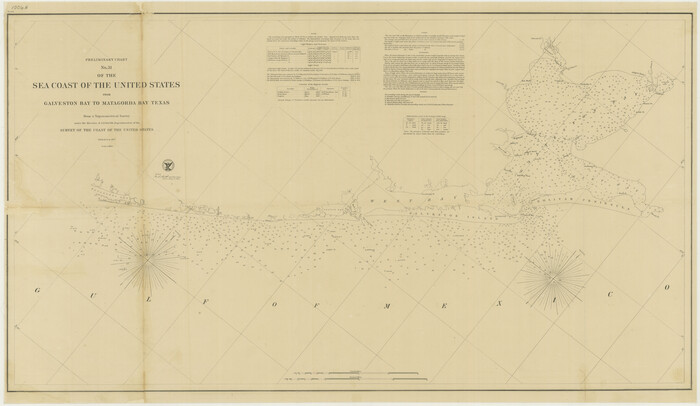
            Preliminary Chart No. 31 of the Sea Coast of the United States from Galveston Bay to Matagorda Bay, Texas


                                            Print $20.00                    
                                    
                Preliminary Chart No. 31 of the Sea Coast of the United States from Galveston Bay to Matagorda Bay, Texas
1857
Size 21.6 x 37.2 inches
                                Map/Doc 76212
            
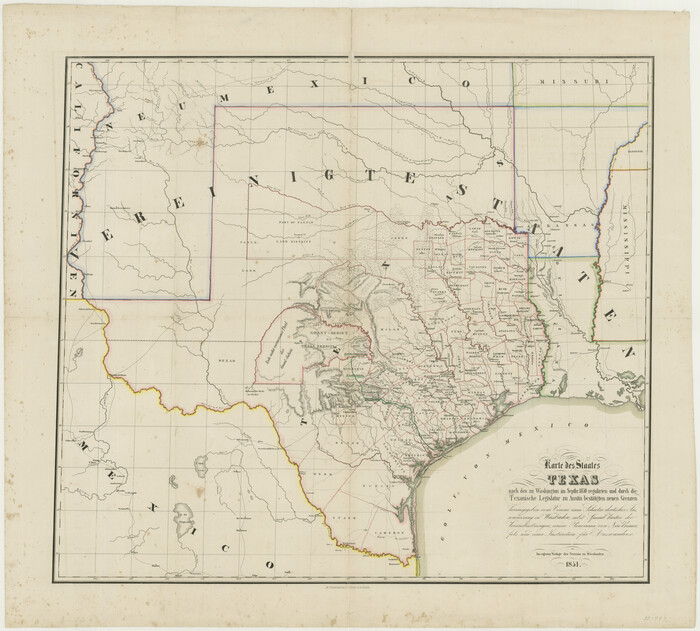
            Karte des Staates, Texas


                                            Print $20.00                    
                                    
                Karte des Staates, Texas
1851
Size 27.2 x 30.1 inches
                                Map/Doc 76262
            
            General Highway Map, Liberty County, Texas


                                            Print $20.00                    
                                    
                General Highway Map, Liberty County, Texas
1961
Size 18.1 x 24.6 inches
                                Map/Doc 79571
            
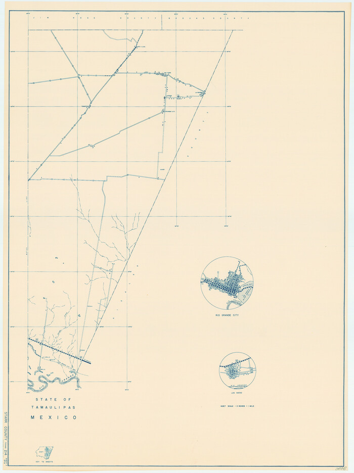
            General Highway Map, Starr County, Texas


                                            Print $20.00                    
                                    
                General Highway Map, Starr County, Texas
1940
Size 24.8 x 18.5 inches
                                Map/Doc 79246
            
            General Highway Map, Polk County, Texas


                                            Print $20.00                    
                                    
                General Highway Map, Polk County, Texas
1961
Size 18.1 x 24.5 inches
                                Map/Doc 79630
            
            Mitchell's Travellers Guide Through the United States.  A Map of the Roads, Distances, Steam Boat, and Canal Routes etc.


                                            Print $20.00                    
                                    
                Mitchell's Travellers Guide Through the United States. A Map of the Roads, Distances, Steam Boat, and Canal Routes etc.
1835
Size 18.0 x 22.7 inches
                                Map/Doc 79723
            You may also like
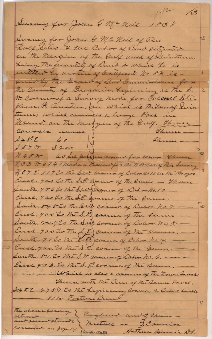
            Brazoria County Sketch File 29


                                            Print $8.00                    
                                             -                         Digital $50.00                                    
                Brazoria County Sketch File 29
1889
Size 14.0 x 8.8 inches
                                Map/Doc 15033
            
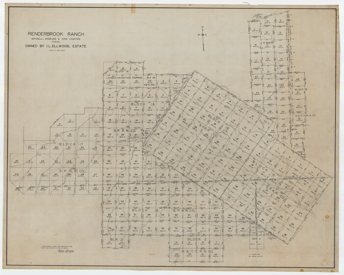
            Renderbrook Ranch, Mitchell, Sterling & Coke Counties, Texas Owned by I. L. Ellwood, Estate


                                            Print $40.00                    
                                             -                         Digital $50.00                                    
                Renderbrook Ranch, Mitchell, Sterling & Coke Counties, Texas Owned by I. L. Ellwood, Estate
Size 50.1 x 40.0 inches
                                Map/Doc 89873
            
            Taylor County Sketch File 12


                                            Print $4.00                    
                                             -                         Digital $50.00                                    
                Taylor County Sketch File 12
Size 8.6 x 12.8 inches
                                Map/Doc 37796
            
            Sectional map of Texas traversed by the Missouri, Kansas & Texas Railway, showing the crops adapted to each section, with the elevation and annual rainfall


                                            Print $20.00                    
                                             -                         Digital $50.00                                    
                Sectional map of Texas traversed by the Missouri, Kansas & Texas Railway, showing the crops adapted to each section, with the elevation and annual rainfall
1904
Size 21.9 x 22.6 inches
                                Map/Doc 95813
            
            Jasper County Rolled Sketch 9


                                            Print $83.00                    
                                             -                         Digital $50.00                                    
                Jasper County Rolled Sketch 9
1932
Size 10.7 x 15.4 inches
                                Map/Doc 46171
            
            [Texas Panhandle North Boundary Line]


                                            Print $20.00                    
                                             -                         Digital $50.00                                    
                [Texas Panhandle North Boundary Line]
1898
Size 11.9 x 46.1 inches
                                Map/Doc 1737
            
            Old Miscellaneous File 37


                                            Print $4.00                    
                                             -                         Digital $50.00                                    
                Old Miscellaneous File 37
1912
Size 11.2 x 8.8 inches
                                Map/Doc 75280
            
            [Surveys in the Bexar District along the Cibolo Creek]


                                            Print $20.00                    
                                             -                         Digital $50.00                                    
                [Surveys in the Bexar District along the Cibolo Creek]
1846
Size 17.0 x 17.8 inches
                                Map/Doc 86
            
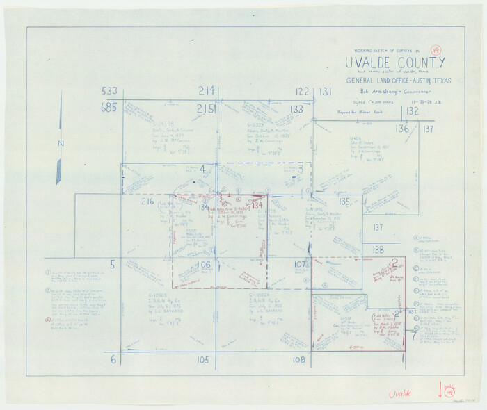
            Uvalde County Working Sketch 44


                                            Print $20.00                    
                                             -                         Digital $50.00                                    
                Uvalde County Working Sketch 44
1978
Size 27.6 x 32.7 inches
                                Map/Doc 72114
            
            Ochiltree County Sketch File 5


                                            Print $4.00                    
                                             -                         Digital $50.00                                    
                Ochiltree County Sketch File 5
Size 14.5 x 8.9 inches
                                Map/Doc 33184