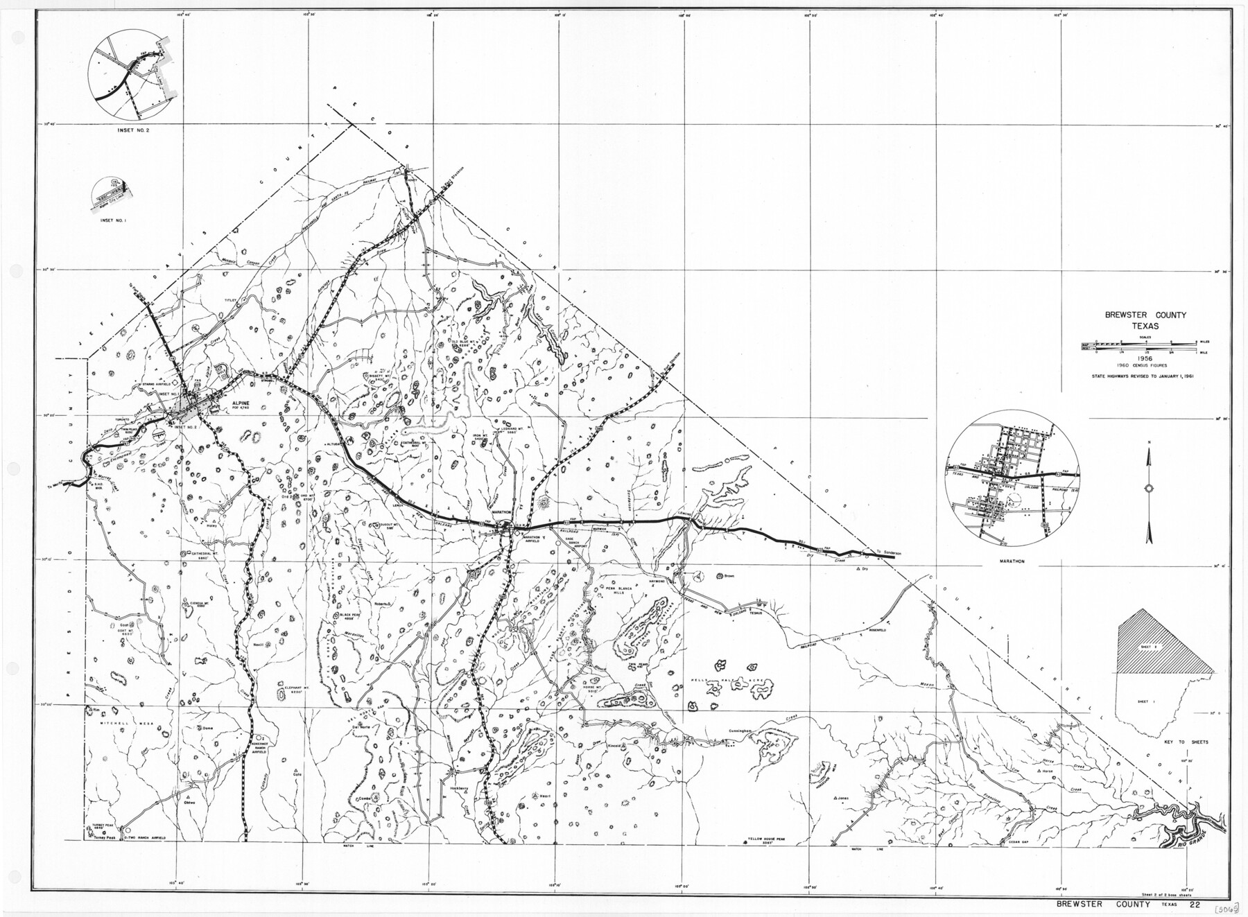
General Highway Map, Brewster County, Texas
- 
                          Map/Doc
79386
 - 
                            Collection
Texas State Library and Archives
 - 
                            Object Dates
1961 (Creation Date)
 - 
                            People and Organizations
Texas State Highway Department (Publisher)
 - 
                            Counties
Brewster
 - 
                            Subjects
County
 - 
                            Height x Width
18.3 x 24.9 inches
46.5 x 63.3 cm
 - 
                            Comments
Prints available courtesy of the Texas State Library and Archives.
More info can be found here: TSLAC Map 05065 
Part of: Texas State Library and Archives
            General Highway Map, Duval County, Texas


                                            Print $20.00                    
                                    
                General Highway Map, Duval County, Texas
1961
Size 18.1 x 24.5 inches
                                Map/Doc 79449
            
            General Highway Map, Andrews County, Texas


                                            Print $20.00                    
                                    
                General Highway Map, Andrews County, Texas
1961
Size 25.1 x 18.3 inches
                                Map/Doc 79347
            
            General Highway Map, Eastland County, Texas


                                            Print $20.00                    
                                    
                General Highway Map, Eastland County, Texas
1961
Size 18.2 x 24.7 inches
                                Map/Doc 79450
            
            General Highway Map, Borden County, Texas


                                            Print $20.00                    
                                    
                General Highway Map, Borden County, Texas
1961
Size 18.3 x 25.0 inches
                                Map/Doc 79377
            
            General Highway Map, El Paso County, Texas


                                            Print $20.00                    
                                    
                General Highway Map, El Paso County, Texas
1961
Size 18.2 x 24.7 inches
                                Map/Doc 79454
            
            General Highway Map, Hemphill County, Texas


                                            Print $20.00                    
                                    
                General Highway Map, Hemphill County, Texas
1940
Size 18.2 x 24.8 inches
                                Map/Doc 79124
            
            General Highway Map, Wilbarger County, Texas


                                            Print $20.00                    
                                    
                General Highway Map, Wilbarger County, Texas
1961
Size 24.9 x 18.2 inches
                                Map/Doc 79710
            
            General Highway Map, Childress County, Texas


                                            Print $20.00                    
                                    
                General Highway Map, Childress County, Texas
1961
Size 18.2 x 24.8 inches
                                Map/Doc 79408
            
            Richardson's New Map of the State of Texas Corrected for the Texas Almanac


                                            Print $20.00                    
                                    
                Richardson's New Map of the State of Texas Corrected for the Texas Almanac
1870
Size 17.8 x 25.9 inches
                                Map/Doc 76192
            
            Map of the United States to accompany Granger's Southern and Western Texas Guide


                                            Print $20.00                    
                                    
                Map of the United States to accompany Granger's Southern and Western Texas Guide
1878
Size 26.4 x 20.4 inches
                                Map/Doc 76236
            
            General Highway Map, Loving County, Texas


                                            Print $20.00                    
                                    
                General Highway Map, Loving County, Texas
1961
Size 18.1 x 24.6 inches
                                Map/Doc 79577
            
            Latest Map of the State of Texas


                                            Print $20.00                    
                                    
                Latest Map of the State of Texas
1888
Size 30.7 x 32.9 inches
                                Map/Doc 79747
            You may also like
            Flight Mission No. CRC-2R, Frame 190, Chambers County


                                            Print $20.00                    
                                             -                         Digital $50.00                                    
                Flight Mission No. CRC-2R, Frame 190, Chambers County
1956
Size 18.8 x 22.4 inches
                                Map/Doc 84768
            
            Flight Mission No. CLL-1N, Frame 87, Willacy County


                                            Print $20.00                    
                                             -                         Digital $50.00                                    
                Flight Mission No. CLL-1N, Frame 87, Willacy County
1954
Size 18.3 x 22.0 inches
                                Map/Doc 87033
            
            Texas-Oklahoma Clara Quadrangle


                                            Print $20.00                    
                                             -                         Digital $50.00                                    
                Texas-Oklahoma Clara Quadrangle
1918
Size 20.4 x 16.9 inches
                                Map/Doc 75104
            
            Stonewall County Working Sketch 19


                                            Print $20.00                    
                                             -                         Digital $50.00                                    
                Stonewall County Working Sketch 19
1957
Size 35.3 x 35.1 inches
                                Map/Doc 62326
            
            [Corner of Crosby, Lubbock, Lynn and Garza Counties]


                                            Print $20.00                    
                                             -                         Digital $50.00                                    
                [Corner of Crosby, Lubbock, Lynn and Garza Counties]
Size 36.0 x 22.8 inches
                                Map/Doc 90905
            
            Flight Mission No. CRC-4R, Frame 80, Chambers County


                                            Print $20.00                    
                                             -                         Digital $50.00                                    
                Flight Mission No. CRC-4R, Frame 80, Chambers County
1956
Size 18.6 x 22.4 inches
                                Map/Doc 84884
            
            Edwards County Sketch File 37


                                            Print $4.00                    
                                             -                         Digital $50.00                                    
                Edwards County Sketch File 37
1926
Size 11.3 x 9.0 inches
                                Map/Doc 21771
            
            Castro County


                                            Print $20.00                    
                                             -                         Digital $50.00                                    
                Castro County
1932
Size 44.2 x 38.7 inches
                                Map/Doc 95451
            
            Angelina County Sketch File 11d


                                            Print $6.00                    
                                             -                         Digital $50.00                                    
                Angelina County Sketch File 11d
1885
Size 12.7 x 8.3 inches
                                Map/Doc 12948
            
            Anderson County Working Sketch 3


                                            Print $20.00                    
                                             -                         Digital $50.00                                    
                Anderson County Working Sketch 3
Size 15.4 x 14.1 inches
                                Map/Doc 67002
            
            Matagorda County Rolled Sketch 31


                                            Print $187.00                    
                                             -                         Digital $50.00                                    
                Matagorda County Rolled Sketch 31
Size 10.6 x 15.5 inches
                                Map/Doc 46654
            
            Marion County Working Sketch 43


                                            Print $5.00                    
                                             -                         Digital $50.00                                    
                Marion County Working Sketch 43
2002
Size 28.6 x 29.0 inches
                                Map/Doc 78214