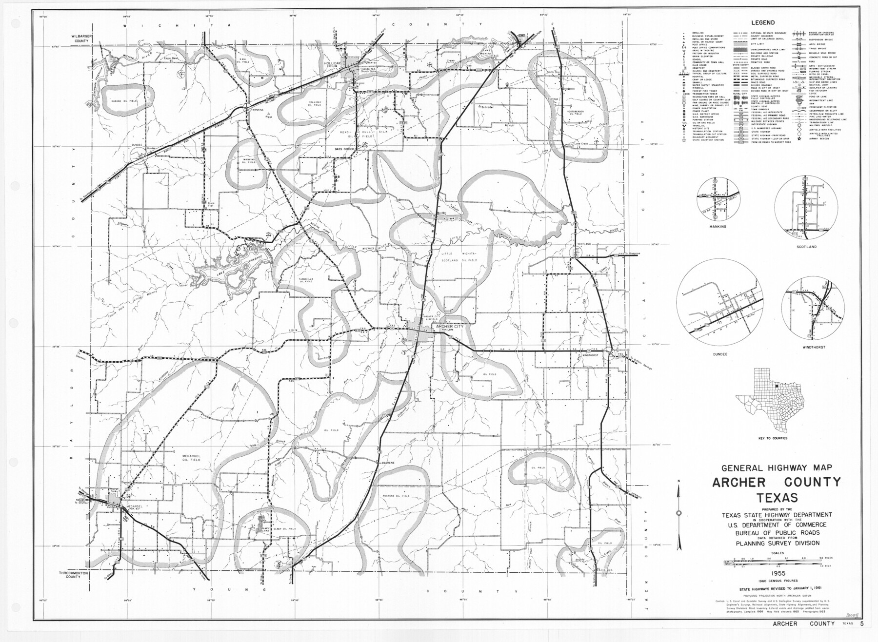
General Highway Map, Archer County, Texas
-
Map/Doc
79353
-
Collection
Texas State Library and Archives
-
Object Dates
1961 (Creation Date)
-
People and Organizations
Texas State Highway Department (Publisher)
-
Counties
Archer
-
Subjects
County
-
Height x Width
18.3 x 25.0 inches
46.5 x 63.5 cm
-
Comments
Prints available courtesy of the Texas State Library and Archives.
More info can be found here: TSLAC Map 05039
Part of: Texas State Library and Archives
General Highway Map, Howard County, Texas

Print $20.00
General Highway Map, Howard County, Texas
1940
Size 18.5 x 24.7 inches
Map/Doc 79134
General Highway Map, Hansford County, Texas

Print $20.00
General Highway Map, Hansford County, Texas
1940
Size 18.4 x 25.0 inches
Map/Doc 79112
That Part of Disturnell's Treaty Map in the Vicinity of the Rio Grande and Southern Boundary of New Mexico

Print $20.00
That Part of Disturnell's Treaty Map in the Vicinity of the Rio Grande and Southern Boundary of New Mexico
1851
Size 10.7 x 12.9 inches
Map/Doc 76285
Map of Texas. The Proposed Reoccupation of the Rio Grande -- Its Importance to the Union

Print $20.00
Map of Texas. The Proposed Reoccupation of the Rio Grande -- Its Importance to the Union
1863
Size 14.1 x 8.7 inches
Map/Doc 76263
General Highway Map. Detail of Cities and Towns in Dallas County, Texas [Dallas and vicinity]
![79432, General Highway Map. Detail of Cities and Towns in Dallas County, Texas [Dallas and vicinity], Texas State Library and Archives](https://historictexasmaps.com/wmedia_w700/maps/79432.tif.jpg)
Print $20.00
General Highway Map. Detail of Cities and Towns in Dallas County, Texas [Dallas and vicinity]
1961
Size 18.1 x 24.7 inches
Map/Doc 79432

General Highway Map, Cherokee County, Texas

Print $20.00
General Highway Map, Cherokee County, Texas
1961
Size 18.2 x 24.7 inches
Map/Doc 79406
General Highway Map, Hays County, Texas

Print $20.00
General Highway Map, Hays County, Texas
1940
Size 24.8 x 18.3 inches
Map/Doc 79123
General Highway Map, Marion County, Texas

Print $20.00
General Highway Map, Marion County, Texas
1940
Size 18.3 x 24.7 inches
Map/Doc 79184
General Highway Map, Stephens County, Texas

Print $20.00
General Highway Map, Stephens County, Texas
1961
Size 25.0 x 18.2 inches
Map/Doc 79660
General Highway Map, Matagorda County, Texas

Print $20.00
General Highway Map, Matagorda County, Texas
1939
Size 24.6 x 18.4 inches
Map/Doc 79188
General Highway Map, Brewster County, Texas

Print $20.00
General Highway Map, Brewster County, Texas
1961
Size 18.2 x 24.9 inches
Map/Doc 79385
You may also like
Flight Mission No. CRK-8P, Frame 117, Refugio County

Print $20.00
- Digital $50.00
Flight Mission No. CRK-8P, Frame 117, Refugio County
1956
Size 18.1 x 22.0 inches
Map/Doc 86972
Map of Texas containing the Latest Grants & Discoveries

Print $20.00
- Digital $50.00
Map of Texas containing the Latest Grants & Discoveries
1836
Size 13.5 x 9.9 inches
Map/Doc 94039
Duval County Rolled Sketch 50

Print $20.00
- Digital $50.00
Duval County Rolled Sketch 50
1876
Size 14.2 x 11.8 inches
Map/Doc 5764
San Augustine County Sketch File 13

Print $4.00
San Augustine County Sketch File 13
1875
Size 11.4 x 7.6 inches
Map/Doc 35658

Mitchell County Boundary File 1a

Print $32.00
- Digital $50.00
Mitchell County Boundary File 1a
Size 13.4 x 8.6 inches
Map/Doc 57344
Map of Georgia, Florida, Alabama, Mississippi and Tennessee engraved to illustrate Mitchell's new intermediate geography

Print $20.00
- Digital $50.00
Map of Georgia, Florida, Alabama, Mississippi and Tennessee engraved to illustrate Mitchell's new intermediate geography
1885
Size 12.2 x 9.0 inches
Map/Doc 93518
Jeff Davis County Sketch File 21

Print $4.00
- Digital $50.00
Jeff Davis County Sketch File 21
1927
Size 14.1 x 8.8 inches
Map/Doc 27988
Hydrography of Sabine Pass and Lake, La. And Tex.

Print $40.00
- Digital $50.00
Hydrography of Sabine Pass and Lake, La. And Tex.
1885
Size 53.2 x 32.5 inches
Map/Doc 2085
Randall County Sketch File 11

Print $4.00
- Digital $50.00
Randall County Sketch File 11
1944
Size 3.4 x 5.7 inches
Map/Doc 34974
Polk County Sketch File 7

Print $6.00
- Digital $50.00
Polk County Sketch File 7
1860
Size 12.1 x 7.9 inches
Map/Doc 34131
