Karte von Indian Point od Indianola / Karte der Stadt Neu Braunfels / Karte der Stadt Friedrichsburg / Hafen von Indian Point oder Indianola (Carlshafen) [Four map insets]
-
Map/Doc
79297
-
Collection
Texas State Library and Archives
-
Object Dates
1850 (Creation Date)
-
Counties
Comal Calhoun Gillespie
-
Subjects
City
-
Height x Width
13.3 x 19.4 inches
33.8 x 49.3 cm
-
Comments
Prints available courtesy of the Texas State Library and Archives.
More info can be found here: TSLAC Map 01997c -
Features
Millers Warf
Oder Carlshafen
LaSalle
Tomdarhorn
Pelican Island
Golf von Mexico
Guadalupe [River]
Comal Bach
Comal Spring
Indian Point
Whites Warf
Vereins Warf
LaBaca Bay
We non Victoria
Bené Springs
Baron's Creek
Quelle [Creek]
Live Oak Creek
Oyter [sic] B[ayou]
Tres Palacias B[ayou]
Cane Bayou
Caney Bajoy [sic]
Live Oak Creek
Lake Austin
R[iver] Colorado
Wilson's Creek
Tres Palacias Creek
Matagorda Bay
Keller's B[ayou]
Sandy Point
Texana
Lavaca River
Benedito B[ayou]
Linville
La Vaca
Garcitas Creek
Part of: Texas State Library and Archives
General Highway Map, Wheeler County, Texas
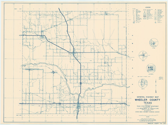

Print $20.00
General Highway Map, Wheeler County, Texas
1940
Size 18.4 x 24.8 inches
Map/Doc 79276
General Highway Map, Fayette County, Texas
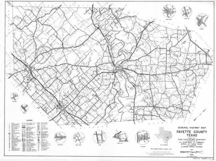

Print $20.00
General Highway Map, Fayette County, Texas
1961
Size 18.2 x 24.5 inches
Map/Doc 79465
General Highway Map, Culberson County, Texas
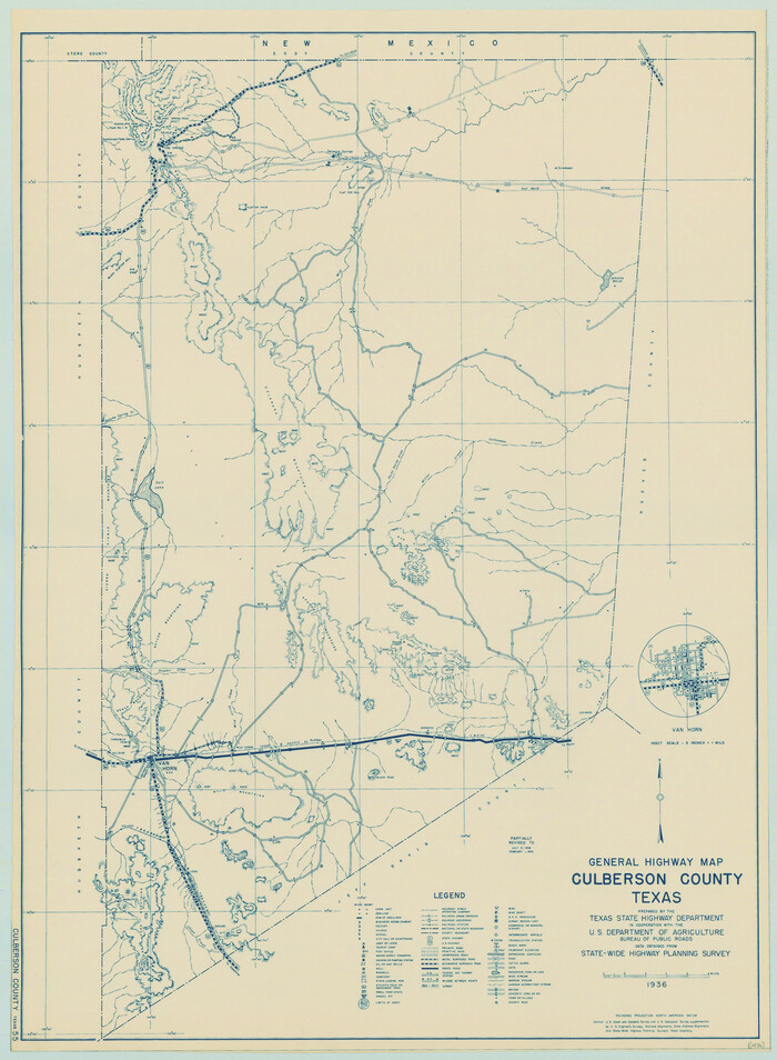

Print $20.00
General Highway Map, Culberson County, Texas
1940
Size 25.2 x 18.5 inches
Map/Doc 79064
[Town Plat of Galveston]
![76258, [Town Plat of Galveston], Texas State Library and Archives](https://historictexasmaps.com/wmedia_w700/maps/76258.tif.jpg)
![76258, [Town Plat of Galveston], Texas State Library and Archives](https://historictexasmaps.com/wmedia_w700/maps/76258.tif.jpg)
Print $20.00
[Town Plat of Galveston]
1877
Size 9.1 x 14.5 inches
Map/Doc 76258
General Highway Map, Yoakum County, Texas


Print $20.00
General Highway Map, Yoakum County, Texas
1940
Size 18.3 x 24.9 inches
Map/Doc 79285
County Map of the Pan-Handle of Texas, and the line of the Denver, Texas and Ft. Worth R'y


Print $20.00
County Map of the Pan-Handle of Texas, and the line of the Denver, Texas and Ft. Worth R'y
1888
Size 7.5 x 10.9 inches
Map/Doc 76296
General Highway Map, Brazoria County, Texas
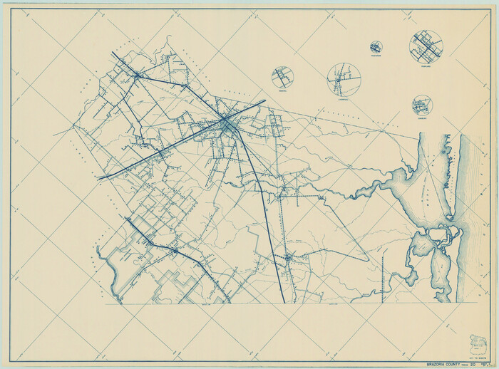

Print $20.00
General Highway Map, Brazoria County, Texas
1939
Size 18.4 x 24.9 inches
Map/Doc 79025
General Highway Map, Winkler County, Texas
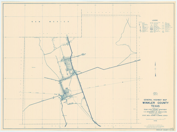

Print $20.00
General Highway Map, Winkler County, Texas
1940
Size 18.4 x 24.7 inches
Map/Doc 79283
General Highway Map. Detail of Cities and Towns in McLennan County, Texas


Print $20.00
General Highway Map. Detail of Cities and Towns in McLennan County, Texas
1961
Size 18.2 x 24.6 inches
Map/Doc 79591
General Highway Map, Karnes County, Texas


Print $20.00
General Highway Map, Karnes County, Texas
1940
Size 18.3 x 24.7 inches
Map/Doc 79151
General Highway Map, Parmer County, Texas


Print $20.00
General Highway Map, Parmer County, Texas
1940
Size 18.3 x 24.6 inches
Map/Doc 79216
General Highway Map, Gray County, Texas


Print $20.00
General Highway Map, Gray County, Texas
1961
Size 18.1 x 24.7 inches
Map/Doc 79483
You may also like
Borden County Working Sketch 8


Print $20.00
- Digital $50.00
Borden County Working Sketch 8
1951
Size 24.7 x 34.4 inches
Map/Doc 67468
Pecos County Rolled Sketch 126


Print $20.00
- Digital $50.00
Pecos County Rolled Sketch 126
1948
Size 42.5 x 38.4 inches
Map/Doc 9724
Brewster County Working Sketch 118.2

Print $20.00
- Digital $50.00
Brewster County Working Sketch 118.2
Size 26.8 x 20.6 inches
Map/Doc 67871
Real County Rolled Sketch 18

Print $20.00
- Digital $50.00
Real County Rolled Sketch 18
Size 22.0 x 28.0 inches
Map/Doc 7466
Hood County Sketch File 8


Print $4.00
- Digital $50.00
Hood County Sketch File 8
Size 7.8 x 8.0 inches
Map/Doc 26584
Newton County Sketch File 2


Print $6.00
- Digital $50.00
Newton County Sketch File 2
Size 14.0 x 10.7 inches
Map/Doc 32358
El Paso County Boundary File 26
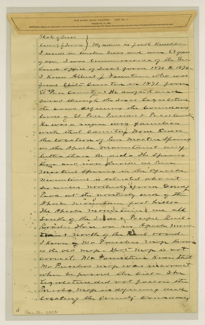

Print $14.00
- Digital $50.00
El Paso County Boundary File 26
Size 14.8 x 9.3 inches
Map/Doc 53231
Controlled Mosaic by Jack Amman Photogrammetric Engineers, Inc - Sheet 42

Print $20.00
- Digital $50.00
Controlled Mosaic by Jack Amman Photogrammetric Engineers, Inc - Sheet 42
1954
Size 20.0 x 24.0 inches
Map/Doc 83500
Terrell County Working Sketch 42

Print $20.00
- Digital $50.00
Terrell County Working Sketch 42
1957
Size 34.4 x 34.4 inches
Map/Doc 62135
Knox County Sketch File 6A

Print $20.00
- Digital $50.00
Knox County Sketch File 6A
1881
Size 32.3 x 18.2 inches
Map/Doc 11954
Map of Starr County State of Texas

Print $20.00
- Digital $50.00
Map of Starr County State of Texas
1911
Size 25.1 x 23.2 inches
Map/Doc 4048
![79297, Karte von Indian Point od Indianola / Karte der Stadt Neu Braunfels / Karte der Stadt Friedrichsburg / Hafen von Indian Point oder Indianola (Carlshafen) [Four map insets], Texas State Library and Archives](https://historictexasmaps.com/wmedia_w1800h1800/maps/79297.tif.jpg)
