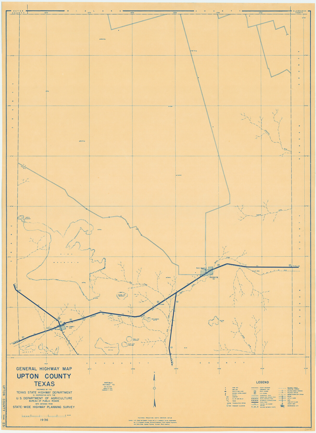
General Highway Map, Upton County, Texas
-
Map/Doc
79265
-
Collection
Texas State Library and Archives
-
Object Dates
1940 (Creation Date)
-
People and Organizations
Texas State Highway Department (Publisher)
-
Counties
Upton
-
Subjects
County
-
Height x Width
24.8 x 18.1 inches
63.0 x 46.0 cm
-
Comments
Prints available courtesy of the Texas State Library and Archives.
More info can be found here: TSLAC Map 05012
Part of: Texas State Library and Archives
General Highway Map, Shackelford County, Texas

Print $20.00
General Highway Map, Shackelford County, Texas
1940
Size 18.4 x 24.8 inches
Map/Doc 79241
General Highway Map, Dimmit County, La Salle County, Texas

Print $20.00
General Highway Map, Dimmit County, La Salle County, Texas
1940
Size 18.4 x 25.2 inches
Map/Doc 79077
Railroad and County Map of Texas

Print $20.00
Railroad and County Map of Texas
1908
Size 44.5 x 45.8 inches
Map/Doc 76225
Map Showing Proposed System of State Highways as Adopted June 1917

Print $20.00
Map Showing Proposed System of State Highways as Adopted June 1917
1917
Size 20.9 x 22.4 inches
Map/Doc 76294
General Highway Map, Mason County, Texas

Print $20.00
General Highway Map, Mason County, Texas
1940
Size 18.2 x 24.5 inches
Map/Doc 79186
General Highway Map, Crane County, Texas

Print $20.00
General Highway Map, Crane County, Texas
1961
Size 24.8 x 18.2 inches
Map/Doc 79424
General Highway Map. Detail of Cities and Towns in Bell County, Texas [Belton and Rogers and vicinity]
![79369, General Highway Map. Detail of Cities and Towns in Bell County, Texas [Belton and Rogers and vicinity], Texas State Library and Archives](https://historictexasmaps.com/wmedia_w700/maps/79369.tif.jpg)
Print $20.00
General Highway Map. Detail of Cities and Towns in Bell County, Texas [Belton and Rogers and vicinity]
1961
Size 25.0 x 18.3 inches
Map/Doc 79369

General Highway Map, Goliad County, Texas

Print $20.00
General Highway Map, Goliad County, Texas
1940
Size 18.7 x 25.1 inches
Map/Doc 79101
General Highway Map, Scurry County, Texas

Print $20.00
General Highway Map, Scurry County, Texas
1940
Size 18.4 x 24.8 inches
Map/Doc 79240
General Highway Map, Polk County, Texas

Print $20.00
General Highway Map, Polk County, Texas
1940
Size 24.6 x 18.5 inches
Map/Doc 79219
General Highway Map, Nacogdoches County, Texas

Print $20.00
General Highway Map, Nacogdoches County, Texas
1961
Size 19.3 x 25.0 inches
Map/Doc 79606
You may also like
Controlled Mosaic by Jack Amman Photogrammetric Engineers, Inc - Sheet 53

Print $20.00
- Digital $50.00
Controlled Mosaic by Jack Amman Photogrammetric Engineers, Inc - Sheet 53
1954
Size 20.0 x 24.0 inches
Map/Doc 83512
Flight Mission No. DIX-6P, Frame 118, Aransas County

Print $20.00
- Digital $50.00
Flight Mission No. DIX-6P, Frame 118, Aransas County
1956
Size 19.1 x 22.9 inches
Map/Doc 83824
The Republic County of Bexar. South View. Proposed, Fall 1837-December 31, 1838

Print $20.00
The Republic County of Bexar. South View. Proposed, Fall 1837-December 31, 1838
2020
Size 14.7 x 22.3 inches
Map/Doc 96095
Texas Coast Showing Points of Occupation of Expedition Under Maj. Gen. N.P. Banks, Novr. 1863

Print $20.00
Texas Coast Showing Points of Occupation of Expedition Under Maj. Gen. N.P. Banks, Novr. 1863
1863
Size 16.0 x 17.1 inches
Map/Doc 88593
Presidio County Rolled Sketch 99

Print $20.00
- Digital $50.00
Presidio County Rolled Sketch 99
Size 38.7 x 33.6 inches
Map/Doc 9784
Freestone County Boundary File 30a

Print $10.00
- Digital $50.00
Freestone County Boundary File 30a
Size 14.1 x 8.8 inches
Map/Doc 53592
Principal Watersheds of Texas

Print $20.00
Principal Watersheds of Texas
1935
Size 34.8 x 45.1 inches
Map/Doc 76306
Map of France, Spain, Portugal and Italy engraved to illustrate Mitchell's school and family geography (Inset: Greece and the Ionian Islands)

Print $20.00
- Digital $50.00
Map of France, Spain, Portugal and Italy engraved to illustrate Mitchell's school and family geography (Inset: Greece and the Ionian Islands)
1846
Size 9.5 x 11.8 inches
Map/Doc 93505
Township No. 4 South Range No. 17 West of the Indian Meridian

Print $20.00
- Digital $50.00
Township No. 4 South Range No. 17 West of the Indian Meridian
1875
Size 19.2 x 24.4 inches
Map/Doc 75164
Milam County Working Sketch 3

Print $20.00
- Digital $50.00
Milam County Working Sketch 3
Size 29.0 x 38.4 inches
Map/Doc 71018
United States Gulf Coast - from Galveston to the Rio Grande

Print $20.00
- Digital $50.00
United States Gulf Coast - from Galveston to the Rio Grande
1915
Size 26.3 x 18.3 inches
Map/Doc 72731
Parker County Sketch File 38

Print $20.00
- Digital $50.00
Parker County Sketch File 38
Size 21.7 x 13.3 inches
Map/Doc 12149