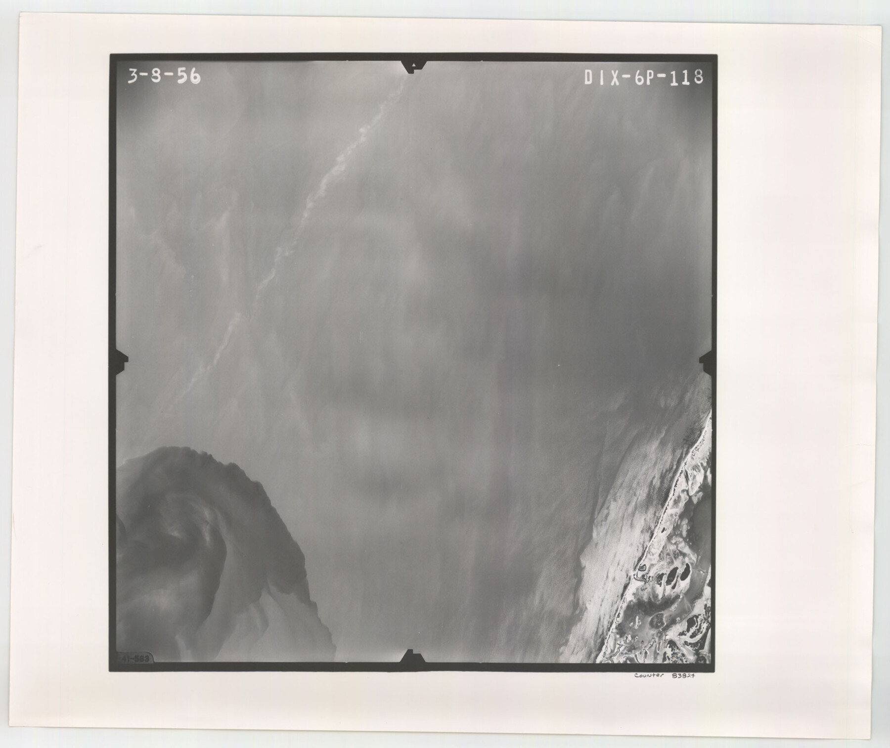
Flight Mission No. DIX-6P, Frame 118, Aransas County
DIX-6P-118
-
Map/Doc
83824
-
Collection
General Map Collection
-
Object Dates
1956/3/8 (Creation Date)
-
People and Organizations
U. S. Department of Agriculture (Publisher)
-
Counties
Aransas
-
Subjects
Aerial Photograph
-
Height x Width
19.1 x 22.9 inches
48.5 x 58.2 cm
-
Comments
Flown by V. L. Beavers and Associates of San Antonio, Texas.
Part of: General Map Collection
Travis County Rolled Sketch 8

Print $20.00
- Digital $50.00
Travis County Rolled Sketch 8
1928
Size 30.9 x 24.2 inches
Map/Doc 8013
Runnels County Sketch File 12

Print $20.00
Runnels County Sketch File 12
1883
Size 32.9 x 30.9 inches
Map/Doc 10592
Flight Mission No. DQO-8K, Frame 78, Galveston County

Print $20.00
- Digital $50.00
Flight Mission No. DQO-8K, Frame 78, Galveston County
1952
Size 18.8 x 22.5 inches
Map/Doc 85182
Brazoria County Sketch File 53

Print $14.00
- Digital $50.00
Brazoria County Sketch File 53
1919
Size 14.2 x 8.6 inches
Map/Doc 15316
Leon County Rolled Sketch 21

Print $20.00
- Digital $50.00
Leon County Rolled Sketch 21
Size 33.5 x 24.3 inches
Map/Doc 75971
Chambers County Sketch File 39

Print $52.00
- Digital $50.00
Chambers County Sketch File 39
Size 11.0 x 6.6 inches
Map/Doc 17652
Castro County Working Sketch 4

Print $20.00
- Digital $50.00
Castro County Working Sketch 4
1920
Size 17.0 x 16.2 inches
Map/Doc 67899
Map of Walker County

Print $20.00
- Digital $50.00
Map of Walker County
1858
Size 22.9 x 34.1 inches
Map/Doc 4120
PSL Field Notes for Blocks B13, B18, and B28 in Crane and Ward Counties, and Blocks B19, B20, and B29 in Ward County

PSL Field Notes for Blocks B13, B18, and B28 in Crane and Ward Counties, and Blocks B19, B20, and B29 in Ward County
Map/Doc 81647
Clay County Boundary File 17a

Print $40.00
- Digital $50.00
Clay County Boundary File 17a
Size 47.0 x 22.0 inches
Map/Doc 51435
Hunt County Rolled Sketch 3

Print $20.00
- Digital $50.00
Hunt County Rolled Sketch 3
Size 19.1 x 36.0 inches
Map/Doc 6267
Jefferson County Rolled Sketch 59

Print $40.00
- Digital $50.00
Jefferson County Rolled Sketch 59
1898
Size 30.0 x 59.4 inches
Map/Doc 9313
You may also like
Young County Working Sketch 21

Print $20.00
- Digital $50.00
Young County Working Sketch 21
1964
Size 42.2 x 31.2 inches
Map/Doc 62044

Fisher County Rolled Sketch 6

Print $20.00
- Digital $50.00
Fisher County Rolled Sketch 6
1971
Size 26.9 x 26.7 inches
Map/Doc 5877
Sabine and Neches Rivers

Print $20.00
- Digital $50.00
Sabine and Neches Rivers
1987
Size 19.6 x 44.7 inches
Map/Doc 69820
Hopkins County Sketch File 27

Print $6.00
- Digital $50.00
Hopkins County Sketch File 27
1873
Size 16.6 x 11.0 inches
Map/Doc 26738
Atascosa County Sketch File 3a

Print $6.00
- Digital $50.00
Atascosa County Sketch File 3a
1856
Size 7.1 x 8.8 inches
Map/Doc 13736
[John H. Stephens Blk. S-2, Capitol Lgs. to North and County School to the South]
![90241, [John H. Stephens Blk. S-2, Capitol Lgs. to North and County School to the South], Twichell Survey Records](https://historictexasmaps.com/wmedia_w700/maps/90241-1.tif.jpg)
Print $20.00
- Digital $50.00
[John H. Stephens Blk. S-2, Capitol Lgs. to North and County School to the South]
1903
Size 20.7 x 18.3 inches
Map/Doc 90241
[Sketch showing Blocks B5, B6 and G.&M. Block 5 north of Capitol Land]
![92990, [Sketch showing Blocks B5, B6 and G.&M. Block 5 north of Capitol Land], Twichell Survey Records](https://historictexasmaps.com/wmedia_w700/maps/92990-1.tif.jpg)
Print $20.00
- Digital $50.00
[Sketch showing Blocks B5, B6 and G.&M. Block 5 north of Capitol Land]
Size 20.7 x 38.2 inches
Map/Doc 92990
Harris County Rolled Sketch 88

Print $20.00
- Digital $50.00
Harris County Rolled Sketch 88
1936
Size 34.6 x 22.8 inches
Map/Doc 6124
Culberson Co.

Print $40.00
- Digital $50.00
Culberson Co.
1908
Size 49.0 x 32.9 inches
Map/Doc 66796
Briscoe County Sketch File P

Print $40.00
- Digital $50.00
Briscoe County Sketch File P
Size 23.1 x 34.0 inches
Map/Doc 11014
Culberson County Sketch File 5a

Print $44.00
- Digital $50.00
Culberson County Sketch File 5a
Size 14.2 x 8.8 inches
Map/Doc 20169