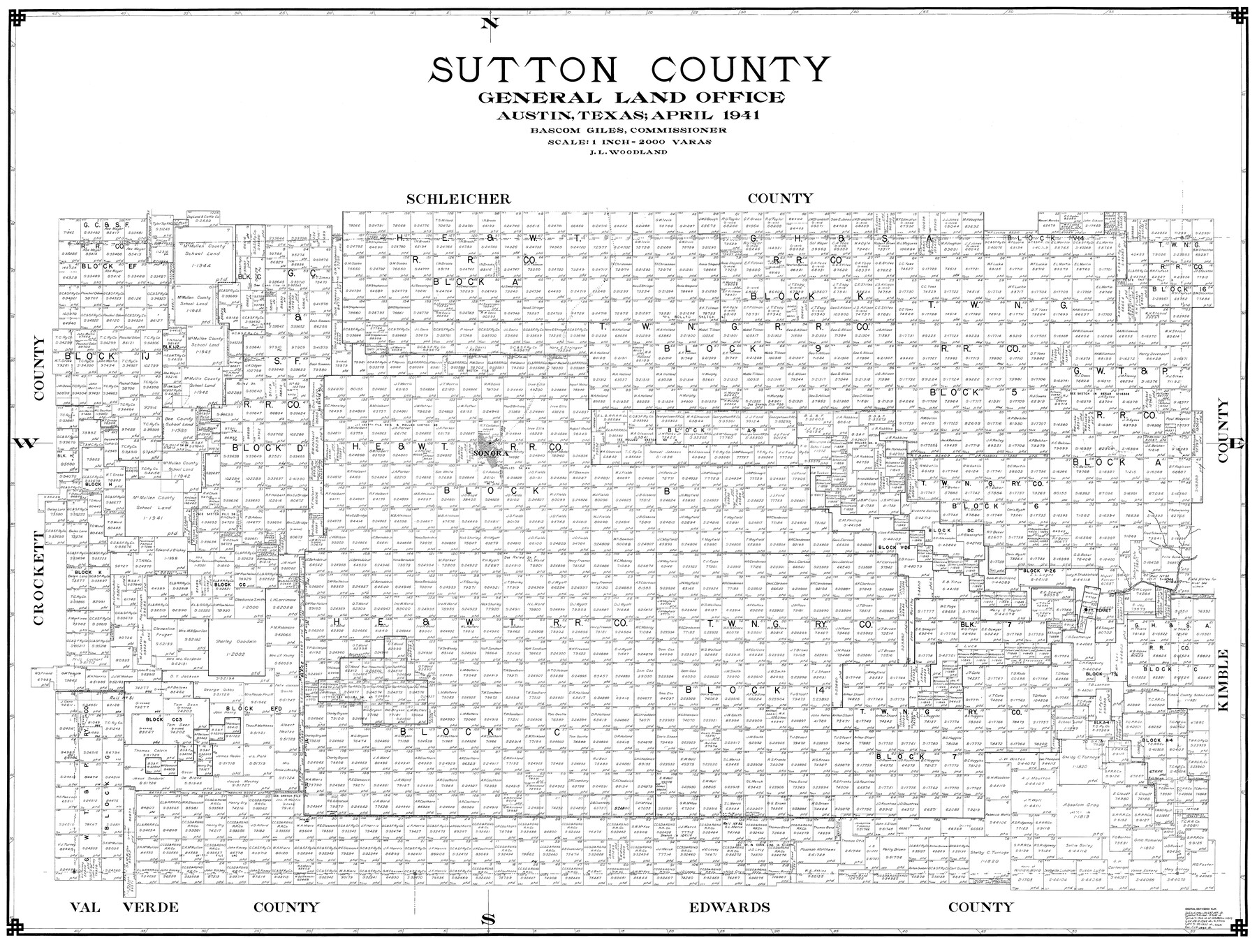
Sutton County
-
Map/Doc
77429
-
Collection
General Map Collection
-
Object Dates
4/1941 (Creation Date)
-
People and Organizations
Eltea Armstrong (Draftsman)
J.L. Woodland (Compiler)
-
Counties
Sutton
-
Subjects
County
-
Height x Width
40.9 x 54.3 inches
103.9 x 137.9 cm
Part of: General Map Collection
Potter County Rolled Sketch 6

Print $20.00
- Digital $50.00
Potter County Rolled Sketch 6
Size 26.3 x 35.0 inches
Map/Doc 7320
Galveston County NRC Article 33.136 Sketch 81

Print $202.00
- Digital $50.00
Galveston County NRC Article 33.136 Sketch 81
2015
Size 34.0 x 22.0 inches
Map/Doc 94976
Flight Mission No. CRK-7P, Frame 133, Refugio County

Print $20.00
- Digital $50.00
Flight Mission No. CRK-7P, Frame 133, Refugio County
1956
Size 18.3 x 22.1 inches
Map/Doc 86956
Sutton County Rolled Sketch F

Print $20.00
- Digital $50.00
Sutton County Rolled Sketch F
Size 12.7 x 38.9 inches
Map/Doc 7903
Baylor County Sketch File 17

Print $4.00
- Digital $50.00
Baylor County Sketch File 17
1872
Size 12.8 x 8.5 inches
Map/Doc 14189
Val Verde County Working Sketch 85

Print $20.00
- Digital $50.00
Val Verde County Working Sketch 85
1973
Size 28.5 x 38.3 inches
Map/Doc 72220
Burleson County Working Sketch 47

Print $20.00
- Digital $50.00
Burleson County Working Sketch 47
2010
Size 23.2 x 28.1 inches
Map/Doc 89620
Clay County Boundary File 4

Print $14.00
- Digital $50.00
Clay County Boundary File 4
Size 10.1 x 6.7 inches
Map/Doc 51366
Big Lake Oil Field

Print $20.00
- Digital $50.00
Big Lake Oil Field
1924
Size 27.3 x 19.1 inches
Map/Doc 2420
Wilbarger County Working Sketch 7a and 7b

Print $20.00
- Digital $50.00
Wilbarger County Working Sketch 7a and 7b
1951
Size 22.7 x 24.0 inches
Map/Doc 72545
Castro County Sketch File 4b

Print $4.00
- Digital $50.00
Castro County Sketch File 4b
Size 13.5 x 8.9 inches
Map/Doc 17467
Map of Burleson County

Print $20.00
- Digital $50.00
Map of Burleson County
1867
Size 19.1 x 30.0 inches
Map/Doc 4511
You may also like
Cherokee County Working Sketch 5

Print $20.00
- Digital $50.00
Cherokee County Working Sketch 5
1951
Size 22.0 x 23.5 inches
Map/Doc 67960
Map of America

Print $20.00
- Digital $50.00
Map of America
1841
Size 21.6 x 24.9 inches
Map/Doc 95150
Flight Mission No. DCL-6C, Frame 28, Kenedy County

Print $20.00
- Digital $50.00
Flight Mission No. DCL-6C, Frame 28, Kenedy County
1943
Size 18.7 x 22.4 inches
Map/Doc 85885
[F. W. & D. C. Ry. Co. Alignment and Right of Way Map, Clay County]
![64726, [F. W. & D. C. Ry. Co. Alignment and Right of Way Map, Clay County], General Map Collection](https://historictexasmaps.com/wmedia_w700/maps/64726-1.tif.jpg)
Print $20.00
- Digital $50.00
[F. W. & D. C. Ry. Co. Alignment and Right of Way Map, Clay County]
1927
Size 18.6 x 11.8 inches
Map/Doc 64726
[Surveys on Cibolo Creek]
![363, [Surveys on Cibolo Creek], General Map Collection](https://historictexasmaps.com/wmedia_w700/maps/363.tif.jpg)
Print $2.00
- Digital $50.00
[Surveys on Cibolo Creek]
Size 7.4 x 6.7 inches
Map/Doc 363
Flight Mission No. DAG-22K, Frame 83, Matagorda County

Print $20.00
- Digital $50.00
Flight Mission No. DAG-22K, Frame 83, Matagorda County
1953
Size 18.5 x 18.7 inches
Map/Doc 86467
Val Verde County Sketch File 44A

Print $10.00
- Digital $50.00
Val Verde County Sketch File 44A
1940
Size 14.5 x 8.8 inches
Map/Doc 39311
Flight Mission No. DIX-10P, Frame 178, Aransas County

Print $20.00
- Digital $50.00
Flight Mission No. DIX-10P, Frame 178, Aransas County
1956
Size 18.5 x 22.2 inches
Map/Doc 83968
Central Part of Jeff Davis Co.

Print $40.00
- Digital $50.00
Central Part of Jeff Davis Co.
1982
Size 56.3 x 43.9 inches
Map/Doc 95543
[Portion of Thomas Kelly Subdivision in Parmer and Castro Counties, Texas]
![92550, [Portion of Thomas Kelly Subdivision in Parmer and Castro Counties, Texas], Twichell Survey Records](https://historictexasmaps.com/wmedia_w700/maps/92550-1.tif.jpg)
Print $20.00
- Digital $50.00
[Portion of Thomas Kelly Subdivision in Parmer and Castro Counties, Texas]
1906
Size 20.3 x 16.4 inches
Map/Doc 92550
Asher and Adams' Texas - Western Portion

Print $20.00
- Digital $50.00
Asher and Adams' Texas - Western Portion
1874
Size 24.6 x 18.1 inches
Map/Doc 93787
Jefferson County Working Sketch 41

Print $20.00
- Digital $50.00
Jefferson County Working Sketch 41
1985
Size 26.4 x 20.8 inches
Map/Doc 66585