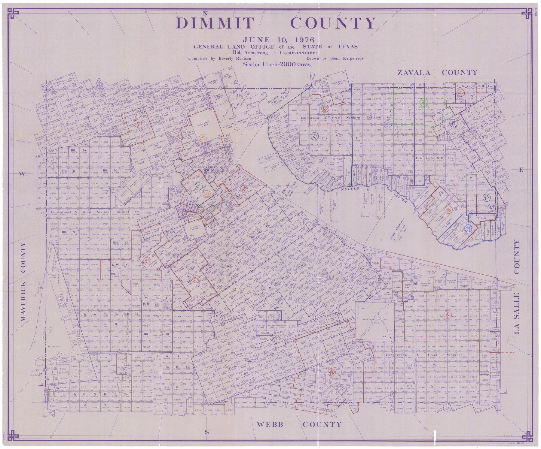
Dimmit County Working Sketch Graphic Index - sheet B
-
Map/Doc
76525
-
Collection
General Map Collection
-
Object Dates
6/10/1976 (Creation Date)
-
People and Organizations
Beverly Robison (Draftsman)
Joan Kilpatrick (Draftsman)
-
Counties
Dimmit
-
Subjects
County Surveying Working Sketch
-
Height x Width
41.5 x 49.9 inches
105.4 x 126.8 cm
-
Medium
paper, print
-
Scale
1" = 2000 varas
Part of: General Map Collection
Burnet County Sketch File 14a

Print $6.00
- Digital $50.00
Burnet County Sketch File 14a
Size 17.0 x 11.0 inches
Map/Doc 16700
Working Sketch No. II in Pecos County

Print $20.00
- Digital $50.00
Working Sketch No. II in Pecos County
1886
Size 31.3 x 24.1 inches
Map/Doc 3953
Hutchinson County Rolled Sketch 44-19

Print $20.00
- Digital $50.00
Hutchinson County Rolled Sketch 44-19
2002
Size 24.0 x 36.0 inches
Map/Doc 77555
Flight Mission No. CRK-8P, Frame 102, Refugio County

Print $20.00
- Digital $50.00
Flight Mission No. CRK-8P, Frame 102, Refugio County
1956
Size 18.2 x 22.0 inches
Map/Doc 86963
Jefferson County Sketch File 15b

Print $26.00
- Digital $50.00
Jefferson County Sketch File 15b
Size 17.4 x 33.2 inches
Map/Doc 11869
Irion County Working Sketch 13

Print $40.00
- Digital $50.00
Irion County Working Sketch 13
1968
Size 88.1 x 31.6 inches
Map/Doc 66422
Map of east part of West Bay & SW part of Galveston Bay, Galveston County showing subdivision for mineral development

Print $20.00
- Digital $50.00
Map of east part of West Bay & SW part of Galveston Bay, Galveston County showing subdivision for mineral development
1951
Size 32.6 x 37.6 inches
Map/Doc 2975
Webb County Working Sketch 15

Print $20.00
- Digital $50.00
Webb County Working Sketch 15
1923
Size 18.8 x 30.4 inches
Map/Doc 72380
Tracing "A" [showing Rio Grande and settlements along river]
![72888, Tracing "A" [showing Rio Grande and settlements along river], General Map Collection](https://historictexasmaps.com/wmedia_w700/maps/72888.tif.jpg)
Print $20.00
- Digital $50.00
Tracing "A" [showing Rio Grande and settlements along river]
1881
Size 18.2 x 25.9 inches
Map/Doc 72888
La Salle County Sketch File 20

Print $34.00
- Digital $50.00
La Salle County Sketch File 20
1887
Size 13.6 x 8.7 inches
Map/Doc 29519
Colorado County Working Sketch 35

Print $20.00
- Digital $50.00
Colorado County Working Sketch 35
Size 19.8 x 15.8 inches
Map/Doc 76065
Mills County Sketch File 6

Print $4.00
- Digital $50.00
Mills County Sketch File 6
Size 9.0 x 9.8 inches
Map/Doc 31655
You may also like
Bird's Eye View of the City of Gainesville Cooke County, Texas

Print $20.00
Bird's Eye View of the City of Gainesville Cooke County, Texas
1883
Size 19.2 x 25.6 inches
Map/Doc 89084
Blanco County Working Sketch 21

Print $20.00
- Digital $50.00
Blanco County Working Sketch 21
1960
Size 34.1 x 29.2 inches
Map/Doc 67381
Wharton County Sketch File 9

Print $4.00
- Digital $50.00
Wharton County Sketch File 9
1884
Size 9.1 x 11.7 inches
Map/Doc 39929
A New Map of the United States of America

Print $20.00
- Digital $50.00
A New Map of the United States of America
1850
Size 17.7 x 27.8 inches
Map/Doc 89219
Kimble County Working Sketch 55

Print $20.00
- Digital $50.00
Kimble County Working Sketch 55
1954
Size 14.3 x 30.1 inches
Map/Doc 70123
Flight Mission No. DAG-24K, Frame 150, Matagorda County

Print $20.00
- Digital $50.00
Flight Mission No. DAG-24K, Frame 150, Matagorda County
1953
Size 18.5 x 22.2 inches
Map/Doc 86564
Map of the River Sabine from its mouth on the Gulf of Mexico in the Sea to Logan's Ferry in Latitude 31°58'24" North

Print $40.00
- Digital $50.00
Map of the River Sabine from its mouth on the Gulf of Mexico in the Sea to Logan's Ferry in Latitude 31°58'24" North
1842
Size 173.2 x 31.0 inches
Map/Doc 1744
Dallam County Sketch File 9

Print $40.00
- Digital $50.00
Dallam County Sketch File 9
1914
Size 9.0 x 7.7 inches
Map/Doc 20357
Bexar County Sketch File 37

Print $5.00
- Digital $50.00
Bexar County Sketch File 37
1861
Size 16.2 x 8.2 inches
Map/Doc 14512
Loving County Rolled Sketch 3

Print $40.00
- Digital $50.00
Loving County Rolled Sketch 3
1952
Size 13.7 x 145.1 inches
Map/Doc 78185
La Salle County Working Sketch 42

Print $20.00
- Digital $50.00
La Salle County Working Sketch 42
1976
Size 33.4 x 33.3 inches
Map/Doc 70343
[Block A, Section 1, Block O, Sections 1 and 3]
![91390, [Block A, Section 1, Block O, Sections 1 and 3], Twichell Survey Records](https://historictexasmaps.com/wmedia_w700/maps/91390-1.tif.jpg)
Print $2.00
- Digital $50.00
[Block A, Section 1, Block O, Sections 1 and 3]
Size 8.5 x 8.4 inches
Map/Doc 91390