[Reverse of] Plan of the City of Austin
-
Map/Doc
76228
-
Collection
Texas State Library and Archives
-
Object Dates
1839 (Creation Date)
-
People and Organizations
L.J. Pilie (Compiler)
-
Counties
Travis
-
Subjects
City
-
Height x Width
19.2 x 24.3 inches
48.8 x 61.7 cm
-
Comments
Prints available courtesy of the Texas State Library and Archives.
More info can be found here: TSLAC Map 00926d
Part of: Texas State Library and Archives
General Highway Map, Childress County, Texas


Print $20.00
General Highway Map, Childress County, Texas
1940
Size 18.3 x 25.2 inches
Map/Doc 79046
General Highway Map, Deaf Smith County, Texas
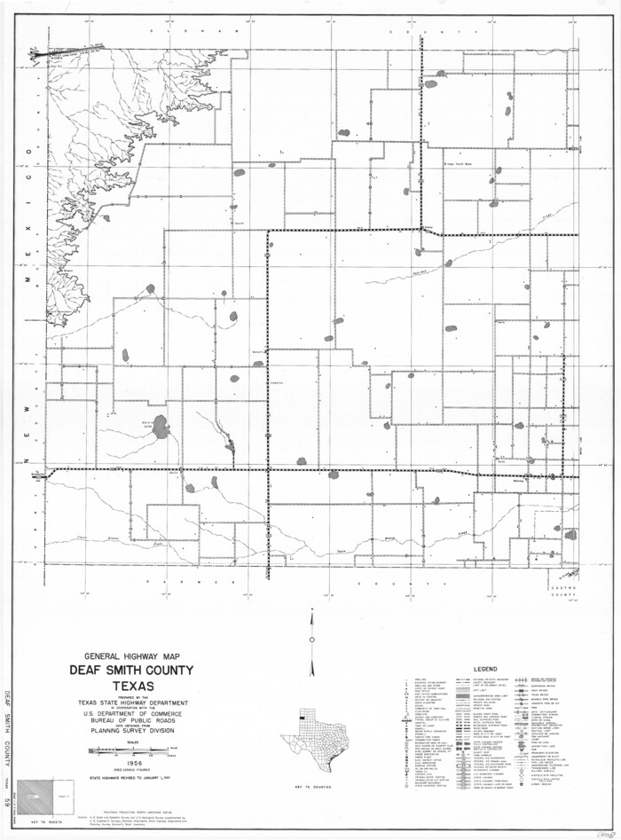

Print $20.00
General Highway Map, Deaf Smith County, Texas
1961
Size 24.5 x 18.1 inches
Map/Doc 79437
Reconnaissance of the Coast of Texas Between Matagorda and Corpus Christi Bays


Print $20.00
Reconnaissance of the Coast of Texas Between Matagorda and Corpus Christi Bays
1858
Size 25.8 x 21.1 inches
Map/Doc 76248
General Highway Map, Newton County, Texas
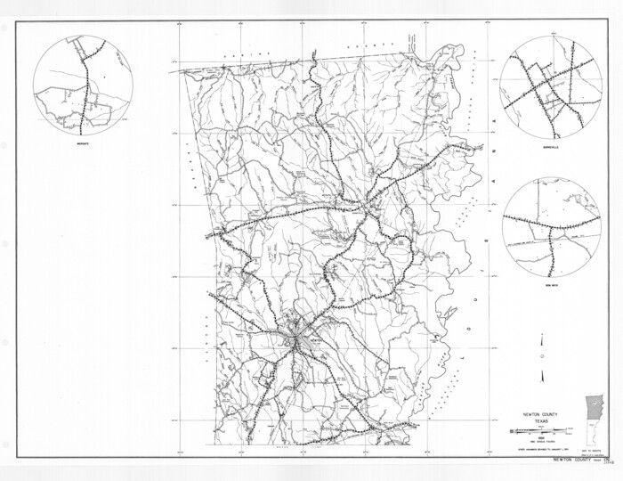

Print $20.00
General Highway Map, Newton County, Texas
1961
Size 19.3 x 25.0 inches
Map/Doc 79613
A.R. Roessler's Latest Map of the State of Texas Exhibiting Mineral and Agricultural Districts, Post Offices and Mailroutes, Railroads projected and finished, Timber, Prairie, Swamp Lands, etc. etc. etc.
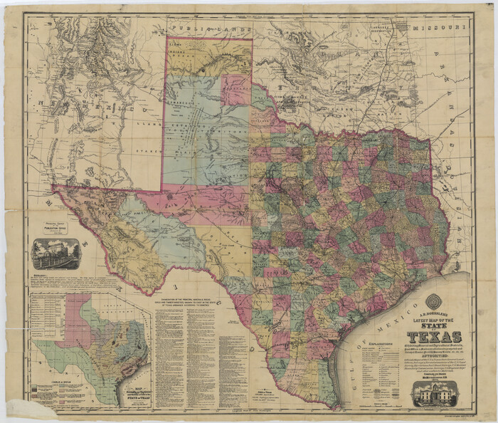

Print $20.00
A.R. Roessler's Latest Map of the State of Texas Exhibiting Mineral and Agricultural Districts, Post Offices and Mailroutes, Railroads projected and finished, Timber, Prairie, Swamp Lands, etc. etc. etc.
1874
Size 39.7 x 46.8 inches
Map/Doc 76254
General Highway Map, Yoakum County, Texas


Print $20.00
General Highway Map, Yoakum County, Texas
1940
Size 18.3 x 24.9 inches
Map/Doc 79285
General Highway Map, Gregg County, Texas
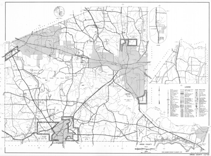

Print $20.00
General Highway Map, Gregg County, Texas
1961
Size 18.1 x 24.6 inches
Map/Doc 79489
General Highway Map, Briscoe County, Texas


Print $20.00
General Highway Map, Briscoe County, Texas
1940
Size 18.5 x 24.9 inches
Map/Doc 79029
General Highway Map, Marion County, Texas
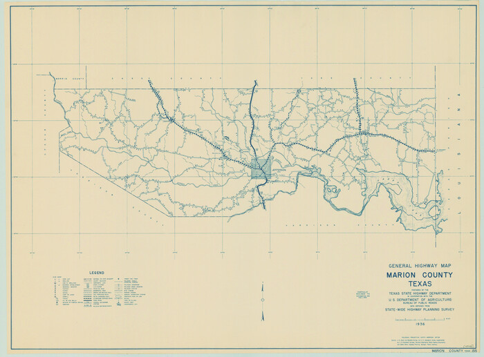

Print $20.00
General Highway Map, Marion County, Texas
1940
Size 18.3 x 24.7 inches
Map/Doc 79184
General Highway Map, Winkler County, Texas


Print $20.00
General Highway Map, Winkler County, Texas
1961
Size 18.2 x 24.8 inches
Map/Doc 79716
Map of the United States and their Territories between the Mississippi and the Pacific Ocean and Part of Mexico


Print $20.00
Map of the United States and their Territories between the Mississippi and the Pacific Ocean and Part of Mexico
1857
Size 21.8 x 24.7 inches
Map/Doc 79724
General Highway Map. Detail of Cities and Towns in Trinity County, Texas [Groveton and Trinity and vicinities]
![79689, General Highway Map. Detail of Cities and Towns in Trinity County, Texas [Groveton and Trinity and vicinities], Texas State Library and Archives](https://historictexasmaps.com/wmedia_w700/maps/79689.tif.jpg)
![79689, General Highway Map. Detail of Cities and Towns in Trinity County, Texas [Groveton and Trinity and vicinities], Texas State Library and Archives](https://historictexasmaps.com/wmedia_w700/maps/79689.tif.jpg)
Print $20.00
General Highway Map. Detail of Cities and Towns in Trinity County, Texas [Groveton and Trinity and vicinities]
1961
Size 18.1 x 24.8 inches
Map/Doc 79689
You may also like
Sutton County Sketch File 23
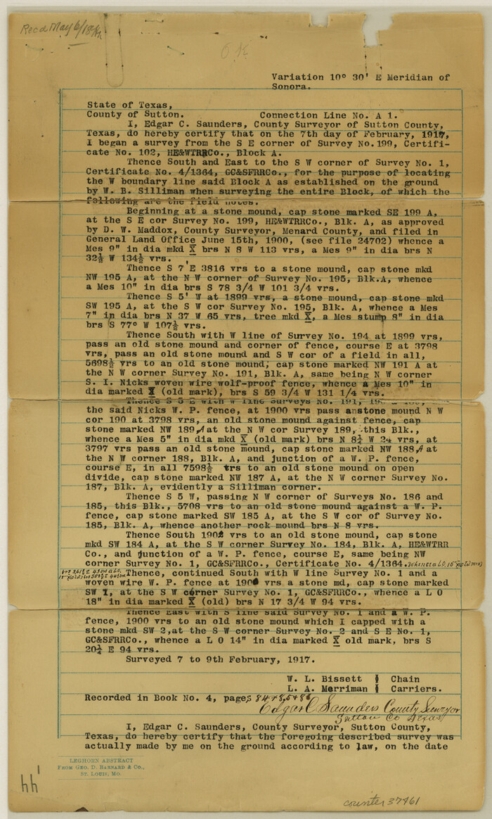

Print $30.00
- Digital $50.00
Sutton County Sketch File 23
1918
Size 14.2 x 8.5 inches
Map/Doc 37461
Shelby County Sketch File 26
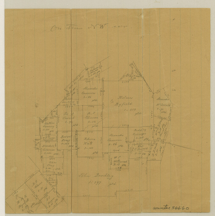

Print $4.00
- Digital $50.00
Shelby County Sketch File 26
Size 8.1 x 8.1 inches
Map/Doc 36660
[PSL Blocks C43 and C44 and Dawson and Gaines County School Lands]
![90813, [PSL Blocks C43 and C44 and Dawson and Gaines County School Lands], Twichell Survey Records](https://historictexasmaps.com/wmedia_w700/maps/90813-2.tif.jpg)
![90813, [PSL Blocks C43 and C44 and Dawson and Gaines County School Lands], Twichell Survey Records](https://historictexasmaps.com/wmedia_w700/maps/90813-2.tif.jpg)
Print $3.00
- Digital $50.00
[PSL Blocks C43 and C44 and Dawson and Gaines County School Lands]
1950
Size 9.5 x 15.8 inches
Map/Doc 90813
Wichita County Sketch File 20
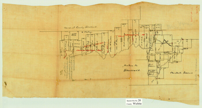

Print $20.00
- Digital $50.00
Wichita County Sketch File 20
Size 12.0 x 22.5 inches
Map/Doc 12683
[T. & G. Ry. Main Line, Texas, Right of Way Map, Center to Gary]
![64569, [T. & G. Ry. Main Line, Texas, Right of Way Map, Center to Gary], General Map Collection](https://historictexasmaps.com/wmedia_w700/maps/64569.tif.jpg)
![64569, [T. & G. Ry. Main Line, Texas, Right of Way Map, Center to Gary], General Map Collection](https://historictexasmaps.com/wmedia_w700/maps/64569.tif.jpg)
Print $40.00
- Digital $50.00
[T. & G. Ry. Main Line, Texas, Right of Way Map, Center to Gary]
1917
Size 31.5 x 76.7 inches
Map/Doc 64569
Val Verde County


Print $20.00
- Digital $50.00
Val Verde County
1944
Size 41.3 x 36.6 inches
Map/Doc 95661
Reagan County Rolled Sketch 17A
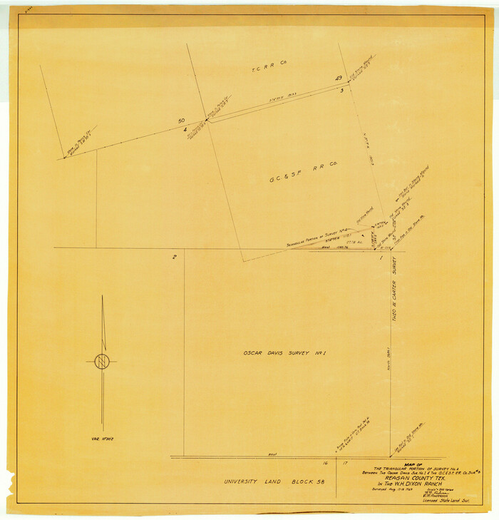

Print $20.00
- Digital $50.00
Reagan County Rolled Sketch 17A
1948
Size 33.8 x 32.4 inches
Map/Doc 9813
Harris County Historic Topographic 31
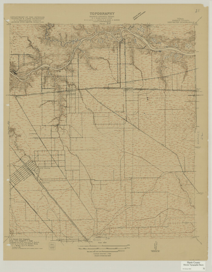

Print $20.00
- Digital $50.00
Harris County Historic Topographic 31
1915
Size 29.2 x 22.7 inches
Map/Doc 65842
Flight Mission No. BRA-6M, Frame 148, Jefferson County


Print $20.00
- Digital $50.00
Flight Mission No. BRA-6M, Frame 148, Jefferson County
1953
Size 18.5 x 22.4 inches
Map/Doc 85449
Crockett County Working Sketch 54


Print $20.00
- Digital $50.00
Crockett County Working Sketch 54
1951
Size 34.5 x 30.7 inches
Map/Doc 68387
Nacogdoches County
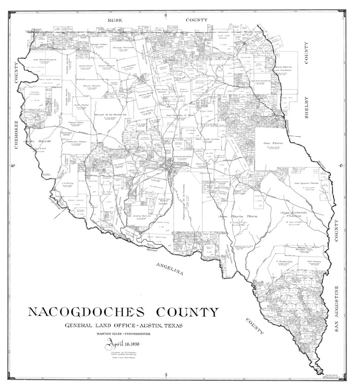

Print $20.00
- Digital $50.00
Nacogdoches County
1950
Size 45.4 x 41.6 inches
Map/Doc 77381
Concho County Sketch File 8 1/4


Print $20.00
- Digital $50.00
Concho County Sketch File 8 1/4
Size 23.4 x 15.0 inches
Map/Doc 11149
![76228, [Reverse of] Plan of the City of Austin, Texas State Library and Archives](https://historictexasmaps.com/wmedia_w1800h1800/maps/76228.tif.jpg)