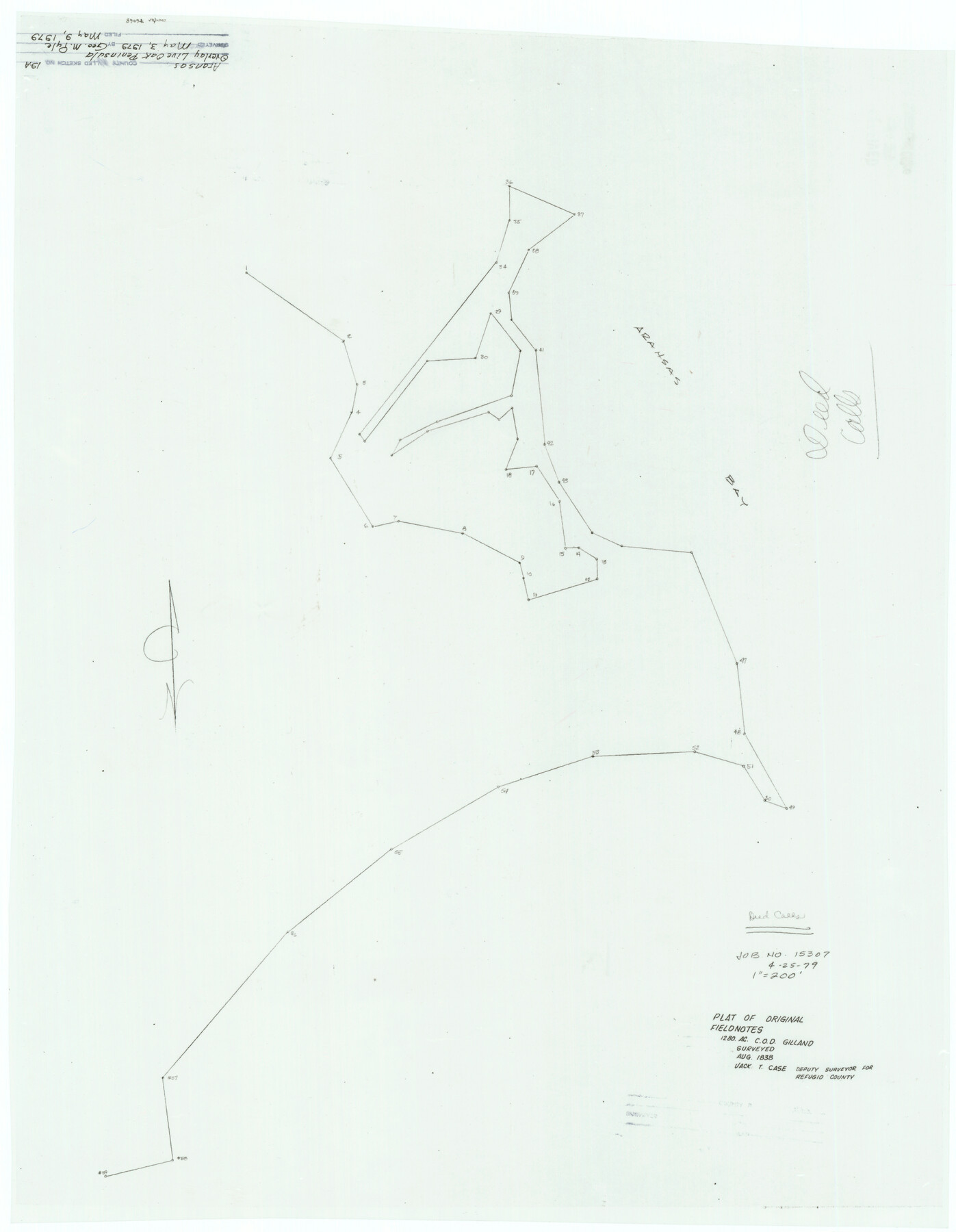
Aransas County Rolled Sketch 19A
[Overlay, Live Oak Peninsula]
-
Map/Doc
76068
-
Collection
General Map Collection
-
Object Dates
1979/5/3 (Creation Date)
1979/5/9 (File Date)
-
People and Organizations
George M. Pyle (Surveyor/Engineer)
-
Counties
Aransas
-
Subjects
Surveying Rolled Sketch
-
Height x Width
32.0 x 24.8 inches
81.3 x 63.0 cm
-
Medium
paper, manuscript
-
Scale
1" = 200'
-
Comments
See Aransas County Rolled Sketches 19 (82559), 19B (76077), and 19C (5063).
Related maps
Aransas County Rolled Sketch 19C

Print $20.00
- Digital $50.00
Aransas County Rolled Sketch 19C
Size 40.9 x 30.6 inches
Map/Doc 5063
Aransas County Rolled Sketch 19B

Print $20.00
- Digital $50.00
Aransas County Rolled Sketch 19B
1979
Size 25.7 x 18.7 inches
Map/Doc 76077
Aransas County Rolled Sketch 19

Print $20.00
- Digital $50.00
Aransas County Rolled Sketch 19
1979
Size 24.8 x 36.7 inches
Map/Doc 82559
Part of: General Map Collection
[Sketch for Mineral Application 13436 - Cut-off Bayou]
![65675, [Sketch for Mineral Application 13436 - Cut-off Bayou], General Map Collection](https://historictexasmaps.com/wmedia_w700/maps/65675-1.tif.jpg)
Print $20.00
- Digital $50.00
[Sketch for Mineral Application 13436 - Cut-off Bayou]
1928
Size 21.3 x 44.3 inches
Map/Doc 65675
Val Verde County Working Sketch 53

Print $20.00
- Digital $50.00
Val Verde County Working Sketch 53
1956
Size 42.8 x 47.7 inches
Map/Doc 72188
Bexar County Sketch File 49

Print $8.00
- Digital $50.00
Bexar County Sketch File 49
1874
Size 12.6 x 8.3 inches
Map/Doc 14530
Ward County Rolled Sketch 24E

Print $40.00
- Digital $50.00
Ward County Rolled Sketch 24E
1967
Size 42.3 x 64.9 inches
Map/Doc 10116
Somervell County Rolled Sketch A

Print $20.00
- Digital $50.00
Somervell County Rolled Sketch A
Size 14.8 x 15.2 inches
Map/Doc 75999
Dimmit County

Print $40.00
- Digital $50.00
Dimmit County
1916
Size 40.0 x 48.8 inches
Map/Doc 66806
Texas, Corpus Christi Bay, Mustang Island

Print $40.00
- Digital $50.00
Texas, Corpus Christi Bay, Mustang Island
1934
Size 49.6 x 35.0 inches
Map/Doc 73462
Sketch of a portion of the Texas Coast showing the relative positions of different harbours with the interior Military Posts, and the roads communicating with them, also two new routes from Black Point and Lamar to San Antonio

Print $20.00
- Digital $50.00
Sketch of a portion of the Texas Coast showing the relative positions of different harbours with the interior Military Posts, and the roads communicating with them, also two new routes from Black Point and Lamar to San Antonio
1855
Size 27.3 x 18.3 inches
Map/Doc 72710
[Aerial photograph showing R. H. Welder Ranch, San Patricio County, Texas]
![61407, [Aerial photograph showing R. H. Welder Ranch, San Patricio County, Texas], General Map Collection](https://historictexasmaps.com/wmedia_w700/maps/61407.tif.jpg)
Print $20.00
- Digital $50.00
[Aerial photograph showing R. H. Welder Ranch, San Patricio County, Texas]
Size 23.0 x 39.5 inches
Map/Doc 61407
[Surveys in the Milam District]
![69729, [Surveys in the Milam District], General Map Collection](https://historictexasmaps.com/wmedia_w700/maps/69729.tif.jpg)
Print $2.00
- Digital $50.00
[Surveys in the Milam District]
1845
Size 9.5 x 6.7 inches
Map/Doc 69729
Matagorda County

Print $40.00
- Digital $50.00
Matagorda County
1920
Size 41.6 x 49.7 inches
Map/Doc 95582
Flight Mission No. DAG-21K, Frame 118, Matagorda County

Print $20.00
- Digital $50.00
Flight Mission No. DAG-21K, Frame 118, Matagorda County
1952
Size 18.5 x 18.4 inches
Map/Doc 86443
You may also like
Harris County Sketch File 14

Print $20.00
- Digital $50.00
Harris County Sketch File 14
Size 17.4 x 18.4 inches
Map/Doc 11649
Leon County Working Sketch 53

Print $20.00
- Digital $50.00
Leon County Working Sketch 53
1982
Size 22.3 x 25.4 inches
Map/Doc 70453
Map of State University Land, Pecos County, Texas

Print $20.00
- Digital $50.00
Map of State University Land, Pecos County, Texas
1929
Size 28.4 x 22.7 inches
Map/Doc 91631
Hutchinson County, 1922

Print $20.00
- Digital $50.00
Hutchinson County, 1922
1922
Size 36.5 x 47.6 inches
Map/Doc 89699
Atascosa County Rolled Sketch 15

Print $20.00
- Digital $50.00
Atascosa County Rolled Sketch 15
1945
Size 45.2 x 42.7 inches
Map/Doc 8433
Dimmit County Working Sketch 31

Print $20.00
- Digital $50.00
Dimmit County Working Sketch 31
1959
Size 26.3 x 42.8 inches
Map/Doc 68692
Brazos County Working Sketch 10

Print $20.00
- Digital $50.00
Brazos County Working Sketch 10
1991
Size 15.8 x 20.7 inches
Map/Doc 67485
Morris County Rolled Sketch 2A

Print $20.00
- Digital $50.00
Morris County Rolled Sketch 2A
Size 34.7 x 24.7 inches
Map/Doc 10229
San Saba County Sketch File 8

Print $6.00
- Digital $50.00
San Saba County Sketch File 8
Size 6.6 x 7.9 inches
Map/Doc 36430
Marion County Working Sketch 21

Print $20.00
- Digital $50.00
Marion County Working Sketch 21
1958
Size 29.1 x 26.9 inches
Map/Doc 70797
Trinity County Sketch File 22

Print $23.00
- Digital $50.00
Trinity County Sketch File 22
1877
Size 9.4 x 12.3 inches
Map/Doc 38550
Brewster County Rolled Sketch 85

Print $20.00
- Digital $50.00
Brewster County Rolled Sketch 85
1946
Size 30.4 x 22.8 inches
Map/Doc 5246