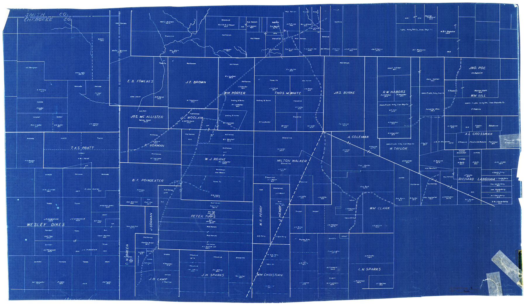
Rusk County Rolled Sketch 3
[Map of surveys in west part of Rusk County]
-
Map/Doc
7542
-
Collection
General Map Collection
-
Counties
Rusk
-
Subjects
Surveying Rolled Sketch
-
Height x Width
21.8 x 38.2 inches
55.4 x 97.0 cm
-
Medium
blueprint/diazo
Part of: General Map Collection
Packery Channel

Print $3.00
- Digital $50.00
Packery Channel
1962
Size 10.7 x 13.2 inches
Map/Doc 3005
King County Rolled Sketch 11

Print $20.00
- Digital $50.00
King County Rolled Sketch 11
1955
Size 40.2 x 46.6 inches
Map/Doc 9351
Stonewall County Sketch File 25

Print $7.00
- Digital $50.00
Stonewall County Sketch File 25
1952
Size 26.7 x 43.3 inches
Map/Doc 10375
Sketch of Resurvey of J. R. Castlebury Est., SF 12725 in Gregg County

Print $20.00
- Digital $50.00
Sketch of Resurvey of J. R. Castlebury Est., SF 12725 in Gregg County
1931
Size 38.6 x 33.3 inches
Map/Doc 2039
Tyler County Working Sketch 9

Print $20.00
- Digital $50.00
Tyler County Working Sketch 9
1937
Size 25.7 x 27.1 inches
Map/Doc 69479
Upton County Sketch File 14a

Print $18.00
- Digital $50.00
Upton County Sketch File 14a
1927
Size 14.5 x 9.1 inches
Map/Doc 38864
Andrews County

Print $20.00
- Digital $50.00
Andrews County
1895
Size 24.9 x 26.4 inches
Map/Doc 3231
Map of Drum, Oyster & Bastrop Bays & vicinity in Brazoria County showing subdivision for mineral development

Print $20.00
- Digital $50.00
Map of Drum, Oyster & Bastrop Bays & vicinity in Brazoria County showing subdivision for mineral development
Size 36.8 x 47.3 inches
Map/Doc 65808
Flight Mission No. CRC-3R, Frame 53, Chambers County

Print $20.00
- Digital $50.00
Flight Mission No. CRC-3R, Frame 53, Chambers County
1956
Size 18.6 x 22.4 inches
Map/Doc 84825
Atascosa County Sketch File 10

Print $4.00
- Digital $50.00
Atascosa County Sketch File 10
Size 12.1 x 7.7 inches
Map/Doc 13765
Polk County Working Sketch 35

Print $20.00
- Digital $50.00
Polk County Working Sketch 35
1961
Size 16.7 x 12.1 inches
Map/Doc 71652
Edwards County Working Sketch 112

Print $20.00
- Digital $50.00
Edwards County Working Sketch 112
1972
Size 20.0 x 26.4 inches
Map/Doc 68988
You may also like

Crockett County Working Sketch 21

Print $20.00
- Digital $50.00
Crockett County Working Sketch 21
1920
Size 18.5 x 24.8 inches
Map/Doc 68354
Parker County Sketch File 20

Print $4.00
- Digital $50.00
Parker County Sketch File 20
Size 5.2 x 6.5 inches
Map/Doc 33558
Map of the City of Austin Texas

Map of the City of Austin Texas
1933
Size 22.5 x 17.6 inches
Map/Doc 76050
Hardeman County Working Sketch 18

Print $20.00
- Digital $50.00
Hardeman County Working Sketch 18
2002
Size 33.5 x 36.5 inches
Map/Doc 76401
Layout of the porciones as described in the Visita General of Reynosa, 1767

Layout of the porciones as described in the Visita General of Reynosa, 1767
2009
Size 11.0 x 8.5 inches
Map/Doc 94045
Sutton County Sketch File 6

Print $8.00
- Digital $50.00
Sutton County Sketch File 6
1897
Size 14.0 x 9.0 inches
Map/Doc 37358
El Paso County Sketch File 1

Print $48.00
- Digital $50.00
El Paso County Sketch File 1
1849
Size 8.9 x 8.2 inches
Map/Doc 21883
Flight Mission No. DQN-4K, Frame 4, Calhoun County

Print $20.00
- Digital $50.00
Flight Mission No. DQN-4K, Frame 4, Calhoun County
1953
Size 18.8 x 22.3 inches
Map/Doc 84369
Williamson County Boundary File 2

Print $40.00
- Digital $50.00
Williamson County Boundary File 2
Size 9.0 x 4.2 inches
Map/Doc 59992
Leon County Rolled Sketch 1

Print $20.00
- Digital $50.00
Leon County Rolled Sketch 1
Size 25.8 x 32.5 inches
Map/Doc 6594
Coast Chart No. 202 - Calcasieu Pass to Sabine Light, Louisiana

Print $20.00
- Digital $50.00
Coast Chart No. 202 - Calcasieu Pass to Sabine Light, Louisiana
1905
Size 40.7 x 34.4 inches
Map/Doc 69803