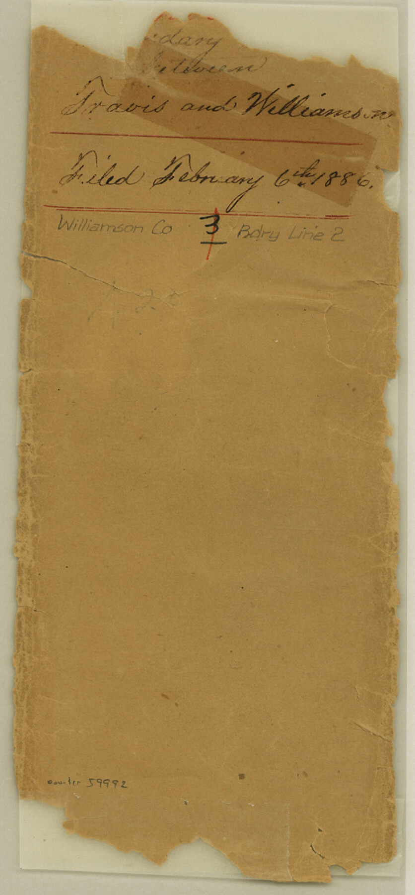
Williamson County Boundary File 2
[Boun]dary between Travis and Williamson
-
Map/Doc
59992
-
Collection
General Map Collection
-
Counties
Williamson
-
Subjects
County Boundaries
-
Height x Width
9.0 x 4.2 inches
22.9 x 10.7 cm
Part of: General Map Collection
La Salle County Sketch File 10

Print $4.00
- Digital $50.00
La Salle County Sketch File 10
1877
Size 9.0 x 7.0 inches
Map/Doc 42997
Calhoun County Aerial Photograph Index Sheet 1

Print $20.00
- Digital $50.00
Calhoun County Aerial Photograph Index Sheet 1
1953
Size 23.7 x 19.7 inches
Map/Doc 83670
Loving County Working Sketch 16a

Print $20.00
- Digital $50.00
Loving County Working Sketch 16a
1976
Size 45.4 x 29.3 inches
Map/Doc 70650
Controlled Mosaic by Jack Amman Photogrammetric Engineers, Inc - Sheet 31

Print $20.00
- Digital $50.00
Controlled Mosaic by Jack Amman Photogrammetric Engineers, Inc - Sheet 31
1954
Size 20.0 x 24.0 inches
Map/Doc 83484
Webb County Rolled Sketch 76

Print $20.00
- Digital $50.00
Webb County Rolled Sketch 76
1959
Size 32.8 x 44.0 inches
Map/Doc 10133
Texas Exhibit No. 84 - [Texas and Oklahoma Red River Boundary]
![75261, Texas Exhibit No. 84 - [Texas and Oklahoma Red River Boundary], General Map Collection](https://historictexasmaps.com/wmedia_w700/maps/75261.tif.jpg)
Print $40.00
- Digital $50.00
Texas Exhibit No. 84 - [Texas and Oklahoma Red River Boundary]
1921
Size 35.6 x 52.3 inches
Map/Doc 75261
Montgomery County Working Sketch 4

Print $20.00
- Digital $50.00
Montgomery County Working Sketch 4
1926
Size 20.9 x 22.2 inches
Map/Doc 71110
Zapata County Working Sketch 13

Print $20.00
- Digital $50.00
Zapata County Working Sketch 13
1962
Size 28.7 x 29.6 inches
Map/Doc 62064
Flight Mission No. BRA-16M, Frame 142, Jefferson County

Print $20.00
- Digital $50.00
Flight Mission No. BRA-16M, Frame 142, Jefferson County
1953
Size 18.5 x 22.2 inches
Map/Doc 85748
Glasscock County Rolled Sketch 13

Print $20.00
- Digital $50.00
Glasscock County Rolled Sketch 13
Size 24.9 x 19.4 inches
Map/Doc 6019
Americae Nova Descriptio

Print $20.00
- Digital $50.00
Americae Nova Descriptio
1663
Size 14.5 x 18.0 inches
Map/Doc 95708
Flight Mission No. BRA-8M, Frame 77, Jefferson County

Print $20.00
- Digital $50.00
Flight Mission No. BRA-8M, Frame 77, Jefferson County
1953
Size 15.9 x 15.7 inches
Map/Doc 85597
You may also like
Uvalde County Sketch File 23

Print $20.00
- Digital $50.00
Uvalde County Sketch File 23
1923
Size 20.8 x 23.5 inches
Map/Doc 12534
Map of Brown County

Print $40.00
- Digital $50.00
Map of Brown County
1886
Size 48.9 x 41.6 inches
Map/Doc 3342
[Connection to Block M-13]
![93040, [Connection to Block M-13], Twichell Survey Records](https://historictexasmaps.com/wmedia_w700/maps/93040-1.tif.jpg)
Print $40.00
- Digital $50.00
[Connection to Block M-13]
Size 27.1 x 60.0 inches
Map/Doc 93040
Clarendon, Texas, Donley Co.

Print $20.00
Clarendon, Texas, Donley Co.
1890
Size 15.7 x 26.6 inches
Map/Doc 89078
Clay County Sketch File 42

Print $20.00
- Digital $50.00
Clay County Sketch File 42
Size 22.8 x 31.0 inches
Map/Doc 11093
Maps of Gulf Intracoastal Waterway, Texas - Sabine River to the Rio Grande and connecting waterways including ship channels

Print $20.00
- Digital $50.00
Maps of Gulf Intracoastal Waterway, Texas - Sabine River to the Rio Grande and connecting waterways including ship channels
1966
Size 14.7 x 21.0 inches
Map/Doc 61992
La Salle County Sketch File 52

Print $9.00
- Digital $50.00
La Salle County Sketch File 52
1949
Size 11.7 x 9.1 inches
Map/Doc 29620
Stonewall County Working Sketch 24

Print $20.00
- Digital $50.00
Stonewall County Working Sketch 24
1973
Size 27.1 x 30.9 inches
Map/Doc 62331
Correct Map of the Railway & Steamship Lines operated by the Southern Pacific Company

Print $20.00
- Digital $50.00
Correct Map of the Railway & Steamship Lines operated by the Southern Pacific Company
1893
Size 16.7 x 40.1 inches
Map/Doc 95762
Sandhills Water Rights Survey, City of Lubbock, Texas

Print $40.00
- Digital $50.00
Sandhills Water Rights Survey, City of Lubbock, Texas
1957
Size 76.1 x 31.4 inches
Map/Doc 93211
Mason County Working Sketch 1

Print $3.00
- Digital $50.00
Mason County Working Sketch 1
Size 10.7 x 16.2 inches
Map/Doc 70837
Subdivision of Sutton County School League 175. Bailey County, Texas

Print $2.00
- Digital $50.00
Subdivision of Sutton County School League 175. Bailey County, Texas
1929
Size 9.1 x 11.5 inches
Map/Doc 90278