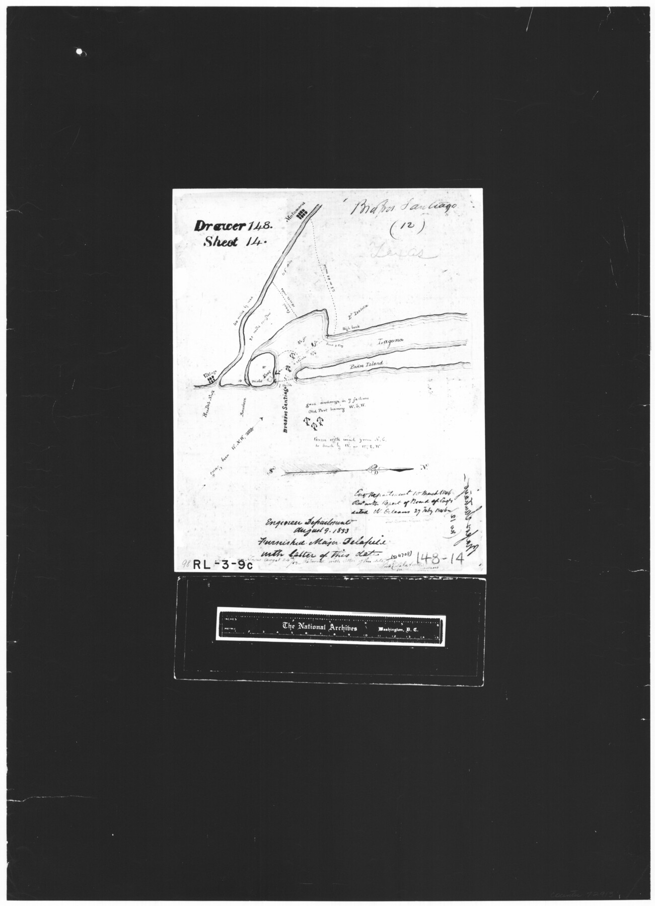
Brassos Santiago
RL-3-9c
-
Map/Doc
72913
-
Collection
General Map Collection
-
Object Dates
1853/8/19 (Creation Date)
-
People and Organizations
Board of Engineers (Author)
-
Subjects
Gulf of Mexico River Surveys
-
Height x Width
25.3 x 18.3 inches
64.3 x 46.5 cm
-
Comments
B/W photostat copy from National Archives.
Part of: General Map Collection
Sulphur River, Bassett Sheet

Print $20.00
- Digital $50.00
Sulphur River, Bassett Sheet
1939
Size 25.3 x 32.0 inches
Map/Doc 78320

Wise County Rolled Sketch 2

Print $40.00
- Digital $50.00
Wise County Rolled Sketch 2
1941
Size 58.7 x 44.8 inches
Map/Doc 10155
Refugio County

Print $20.00
- Digital $50.00
Refugio County
1872
Size 17.6 x 22.9 inches
Map/Doc 3987
Runnels County Working Sketch 15

Print $20.00
- Digital $50.00
Runnels County Working Sketch 15
1950
Size 22.8 x 18.5 inches
Map/Doc 63611
Flight Mission No. DIX-6P, Frame 117, Aransas County

Print $20.00
- Digital $50.00
Flight Mission No. DIX-6P, Frame 117, Aransas County
1956
Size 19.2 x 22.8 inches
Map/Doc 83823
Map of Augustine Cty.

Print $20.00
- Digital $50.00
Map of Augustine Cty.
1839
Size 22.9 x 14.6 inches
Map/Doc 165
Map of Zapata County

Print $40.00
- Digital $50.00
Map of Zapata County
1901
Size 55.1 x 47.7 inches
Map/Doc 16937
Hardin County Sketch File 62

Print $20.00
- Digital $50.00
Hardin County Sketch File 62
Size 19.9 x 26.2 inches
Map/Doc 11637
G.C. & S.F. Ry. Main Line, Texas, Right of Way Map, Keeler to Haslet

Print $40.00
- Digital $50.00
G.C. & S.F. Ry. Main Line, Texas, Right of Way Map, Keeler to Haslet
1916
Size 25.3 x 103.5 inches
Map/Doc 64546
Freestone County Rolled Sketch 11

Print $20.00
- Digital $50.00
Freestone County Rolled Sketch 11
1934
Size 17.9 x 34.1 inches
Map/Doc 5911
Flight Mission No. CRK-3P, Frame 178, Refugio County

Print $20.00
- Digital $50.00
Flight Mission No. CRK-3P, Frame 178, Refugio County
1956
Size 18.4 x 22.2 inches
Map/Doc 86925
You may also like
Trinity County Working Sketch 5

Print $20.00
- Digital $50.00
Trinity County Working Sketch 5
1914
Size 18.3 x 23.9 inches
Map/Doc 69453
Flight Mission No. CUG-1P, Frame 50, Kleberg County

Print $20.00
- Digital $50.00
Flight Mission No. CUG-1P, Frame 50, Kleberg County
1956
Size 18.6 x 22.3 inches
Map/Doc 86128
Flight Mission No. DQN-7K, Frame 3, Calhoun County

Print $20.00
- Digital $50.00
Flight Mission No. DQN-7K, Frame 3, Calhoun County
1953
Size 18.5 x 22.2 inches
Map/Doc 84454
Chambers County Working Sketch 19

Print $20.00
- Digital $50.00
Chambers County Working Sketch 19
1965
Size 23.5 x 25.8 inches
Map/Doc 68002
San Patricio County Aerial Photograph Index Sheet 1

Print $20.00
- Digital $50.00
San Patricio County Aerial Photograph Index Sheet 1
1957
Size 23.8 x 19.3 inches
Map/Doc 83744
Edwards County Sketch File 1

Print $10.00
- Digital $50.00
Edwards County Sketch File 1
Size 9.2 x 7.0 inches
Map/Doc 21672
Flight Mission No. DCL-5C, Frame 74, Kenedy County

Print $20.00
- Digital $50.00
Flight Mission No. DCL-5C, Frame 74, Kenedy County
1943
Size 18.6 x 22.3 inches
Map/Doc 85857
Lamb County Sketch File 8

Print $6.00
- Digital $50.00
Lamb County Sketch File 8
1904
Size 8.5 x 7.6 inches
Map/Doc 29355
Presidio County Working Sketch 143

Print $20.00
- Digital $50.00
Presidio County Working Sketch 143
1990
Size 15.9 x 20.9 inches
Map/Doc 71821
McLennan County Boundary File 2

Print $38.00
- Digital $50.00
McLennan County Boundary File 2
Size 10.6 x 7.9 inches
Map/Doc 56948
Revised Map of Matagorda Bay and Vicinity in Matagorda and Calhoun Counties showing subdivision for mineral development

Print $40.00
- Digital $50.00
Revised Map of Matagorda Bay and Vicinity in Matagorda and Calhoun Counties showing subdivision for mineral development
1941
Size 44.3 x 60.0 inches
Map/Doc 2933
Shackelford County Sketch File 6

Print $20.00
- Digital $50.00
Shackelford County Sketch File 6
Size 14.8 x 24.5 inches
Map/Doc 81981