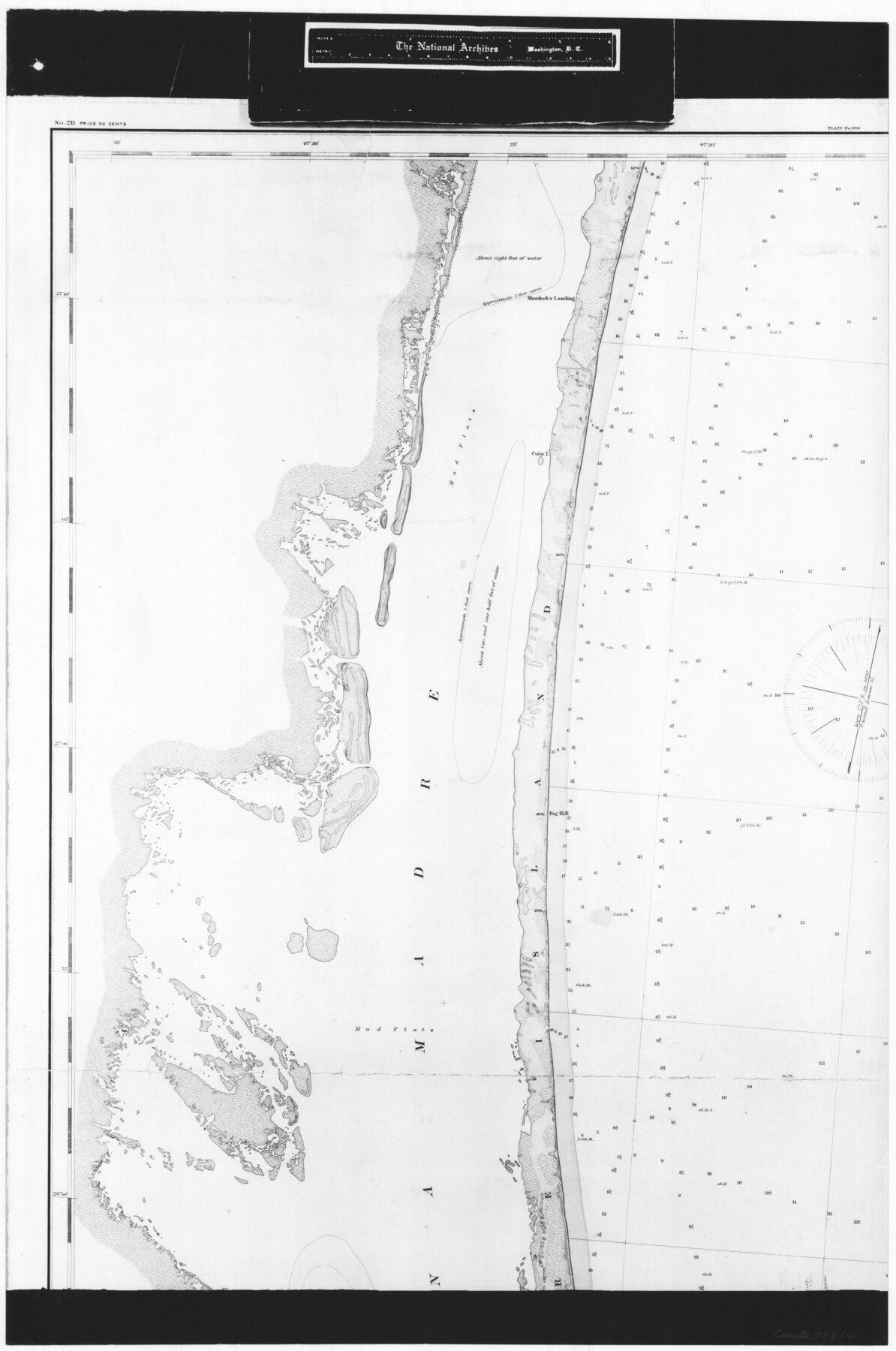
Coast Chart No. 211 - Padre I. and Laguna Madre Lat. 27° 12' to Lat. 26° 33' Texas
RL-3-1c
- 
                          Map/Doc72824
- 
                            CollectionGeneral Map Collection
- 
                            Object Dates1890 (Creation Date)
- 
                            People and OrganizationsU. S. Coastal and Geodetic Survey (Publisher)C. Mahon (Draftsman)
- 
                            CountiesNueces
- 
                            SubjectsNautical Charts
- 
                            Height x Width27.5 x 18.2 inches69.9 x 46.2 cm
- 
                            CommentsB/W photostat copy from National Archives in multiple pieces.
Part of: General Map Collection
            Bowie County Working Sketch 18


                                            Print $20.00                    
                                             -                         Digital $50.00                                    
                Bowie County Working Sketch 18
1962
Size 26.3 x 20.4 inches
                                Map/Doc 67422
            
            Map of the Straits of Florida and Gulf of Mexico


                                            Print $20.00                    
                                             -                         Digital $50.00                                    
                Map of the Straits of Florida and Gulf of Mexico
1851
Size 18.4 x 27.5 inches
                                Map/Doc 72674
            
            Duval County Sketch File 1


                                            Print $40.00                    
                                             -                         Digital $50.00                                    
                Duval County Sketch File 1
1848
Size 12.7 x 16.2 inches
                                Map/Doc 21278
            
            University Lands Blocks 29-33, Crockett County, Texas


                                            Print $20.00                    
                                             -                         Digital $50.00                                    
                University Lands Blocks 29-33, Crockett County, Texas
1936
Size 29.2 x 42.4 inches
                                Map/Doc 2407
            
            Real County Working Sketch 79


                                            Print $20.00                    
                                             -                         Digital $50.00                                    
                Real County Working Sketch 79
1981
Size 19.8 x 22.2 inches
                                Map/Doc 71971
            
            Wichita County Sketch File 12


                                            Print $6.00                    
                                             -                         Digital $50.00                                    
                Wichita County Sketch File 12
1881
Size 10.2 x 8.3 inches
                                Map/Doc 40074
            
            Map of University Land in Shackelford and Callahan Counties


                                            Print $20.00                    
                                             -                         Digital $50.00                                    
                Map of University Land in Shackelford and Callahan Counties
1905
Size 33.4 x 25.3 inches
                                Map/Doc 2435
            
            Flight Mission No. BRA-8M, Frame 143, Jefferson County


                                            Print $20.00                    
                                             -                         Digital $50.00                                    
                Flight Mission No. BRA-8M, Frame 143, Jefferson County
1953
Size 18.9 x 22.5 inches
                                Map/Doc 85635
            
            Motley County Sketch File 5 (S)


                                            Print $20.00                    
                                             -                         Digital $50.00                                    
                Motley County Sketch File 5 (S)
Size 20.5 x 19.4 inches
                                Map/Doc 42138
            
            Blanco County Sketch File 39


                                            Print $4.00                    
                                             -                         Digital $50.00                                    
                Blanco County Sketch File 39
Size 8.6 x 13.9 inches
                                Map/Doc 14650
            
            Wharton County Sketch File 17


                                            Print $12.00                    
                                             -                         Digital $50.00                                    
                Wharton County Sketch File 17
1898
Size 12.8 x 8.1 inches
                                Map/Doc 39969
            You may also like
            Hockley County Sketch File M


                                            Print $20.00                    
                                             -                         Digital $50.00                                    
                Hockley County Sketch File M
Size 22.2 x 25.8 inches
                                Map/Doc 11777
            
            [Surveys in Austin's Colony along New Year's Creek and near the Brazos River]
            
                                    ![218, [Surveys in Austin's Colony along New Year's Creek and near the Brazos River], General Map Collection](https://historictexasmaps.com/wmedia_w700/maps/218.tif.jpg) 


    ![218, [Surveys in Austin's Colony along New Year's Creek and near the Brazos River], General Map Collection](https://historictexasmaps.com/wmedia_w700/maps/218.tif.jpg) 
                                
            
                                            Print $20.00                    
                                             -                         Digital $50.00                                    
                [Surveys in Austin's Colony along New Year's Creek and near the Brazos River]
1821
Size 17.4 x 14.9 inches
                                Map/Doc 218
            
            Andrews County Sketch File 9


                                            Print $8.00                    
                                             -                         Digital $50.00                                    
                Andrews County Sketch File 9
1949
Size 14.2 x 8.6 inches
                                Map/Doc 12853
            
            Shelby County Sketch File 32


                                            Print $20.00                    
                                             -                         Digital $50.00                                    
                Shelby County Sketch File 32
1949
Size 23.4 x 17.7 inches
                                Map/Doc 12321
            
            Real County Working Sketch 24


                                            Print $20.00                    
                                             -                         Digital $50.00                                    
                Real County Working Sketch 24
1946
Size 17.4 x 22.5 inches
                                Map/Doc 71916
            
            Bee County Sketch File X


                                            Print $6.00                    
                                             -                         Digital $50.00                                    
                Bee County Sketch File X
Size 11.5 x 11.0 inches
                                Map/Doc 14243
            
            [Subdivision plat of Crockett County School Land Leagues 214-217 and adjacent leagues]
            
                                    ![90253, [Subdivision plat of Crockett County School Land Leagues 214-217 and adjacent leagues], Twichell Survey Records](https://historictexasmaps.com/wmedia_w700/maps/90253-1.tif.jpg) 


    ![90253, [Subdivision plat of Crockett County School Land Leagues 214-217 and adjacent leagues], Twichell Survey Records](https://historictexasmaps.com/wmedia_w700/maps/90253-1.tif.jpg) 
                                
            
                                            Print $20.00                    
                                             -                         Digital $50.00                                    
                [Subdivision plat of Crockett County School Land Leagues 214-217 and adjacent leagues]
Size 26.9 x 19.0 inches
                                Map/Doc 90253
            
            Falls County Boundary File 1a


                                            Print $56.00                    
                                             -                         Digital $50.00                                    
                Falls County Boundary File 1a
1888
Size 14.6 x 9.2 inches
                                Map/Doc 53253
            
            Jefferson County Working Sketch 2


                                            Print $20.00                    
                                             -                         Digital $50.00                                    
                Jefferson County Working Sketch 2
Size 40.0 x 29.6 inches
                                Map/Doc 66545
            
            Sherman County Rolled Sketch 12


                                            Print $40.00                    
                                             -                         Digital $50.00                                    
                Sherman County Rolled Sketch 12
1951
Size 63.9 x 11.3 inches
                                Map/Doc 10611
            
            Tom Green County Sketch File 88


                                            Print $8.00                    
                                             -                         Digital $50.00                                    
                Tom Green County Sketch File 88
1990
Size 11.5 x 8.9 inches
                                Map/Doc 38266
            
            Dallam County Working Sketch 3


                                            Print $20.00                    
                                             -                         Digital $50.00                                    
                Dallam County Working Sketch 3
1960
Size 13.8 x 30.5 inches
                                Map/Doc 68588
             
                        