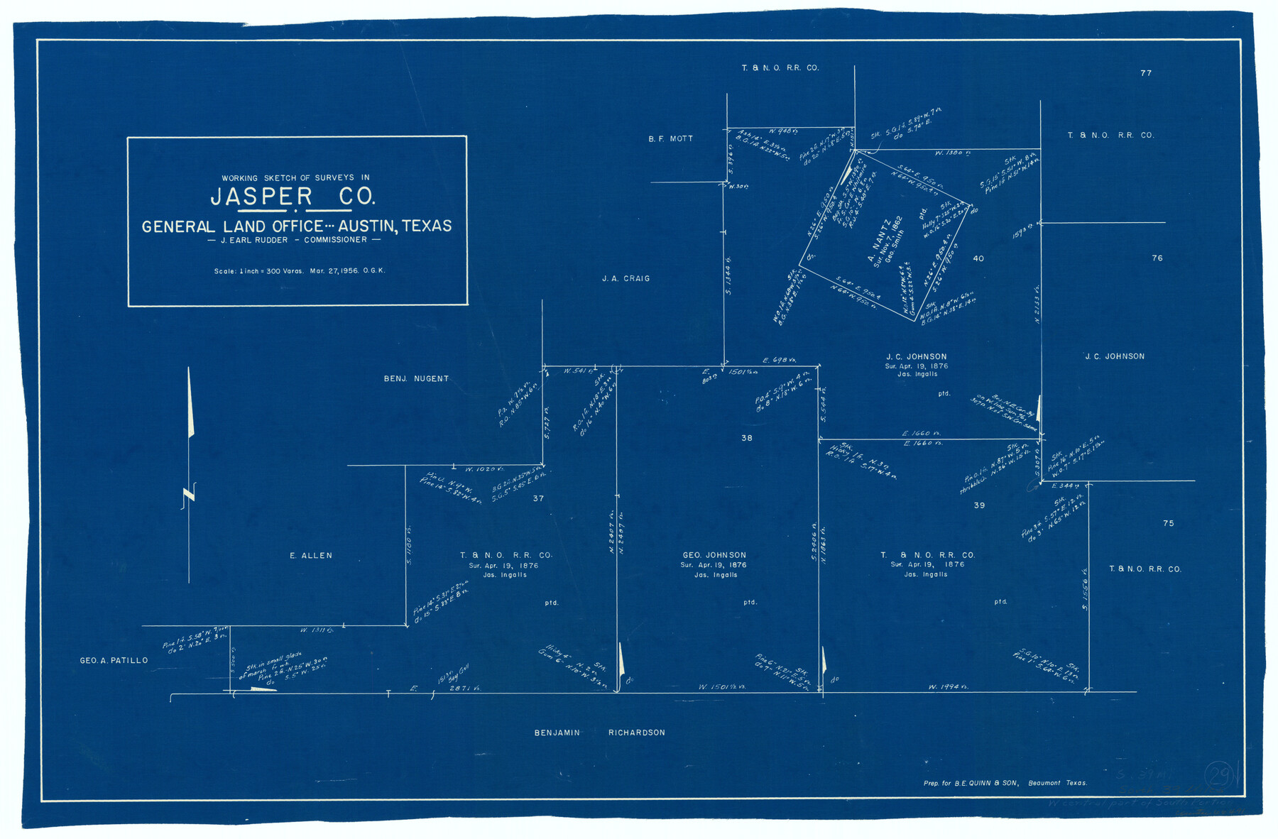
Jasper County Working Sketch 29
-
Map/Doc
66491
-
Collection
General Map Collection
-
Object Dates
3/27/1956 (Creation Date)
-
People and Organizations
Otto G. Kurio (Draftsman)
-
Counties
Jasper
-
Subjects
Surveying Working Sketch
-
Height x Width
20.6 x 31.4 inches
52.3 x 79.8 cm
-
Scale
1" = 300 varas
Part of: General Map Collection

Presidio County Rolled Sketch 31

Print $40.00
- Digital $50.00
Presidio County Rolled Sketch 31
Size 41.1 x 82.1 inches
Map/Doc 9768
Texas-Oklahoma Boundary Line: brief summary of the lands surveyed and the lands not surveyed in the dispute between Oklahoma vs. Texas

Print $356.00
- Digital $50.00
Texas-Oklahoma Boundary Line: brief summary of the lands surveyed and the lands not surveyed in the dispute between Oklahoma vs. Texas
1923
Size 6.0 x 9.2 inches
Map/Doc 3061
Maps of Gulf Intracoastal Waterway, Texas - Sabine River to the Rio Grande and connecting waterways including ship channels

Print $20.00
- Digital $50.00
Maps of Gulf Intracoastal Waterway, Texas - Sabine River to the Rio Grande and connecting waterways including ship channels
1966
Size 14.6 x 22.5 inches
Map/Doc 61935
Young County Sketch File 11

Print $4.00
- Digital $50.00
Young County Sketch File 11
1877
Size 10.1 x 8.5 inches
Map/Doc 40874
San Luis Pass to Matagorda Bay

Print $20.00
- Digital $50.00
San Luis Pass to Matagorda Bay
1924
Size 34.5 x 45.6 inches
Map/Doc 69959
Flight Mission No. CRC-5R, Frame 37, Chambers County

Print $20.00
- Digital $50.00
Flight Mission No. CRC-5R, Frame 37, Chambers County
1956
Size 18.6 x 22.4 inches
Map/Doc 84956
Hunt County Sketch File 35

Print $4.00
- Digital $50.00
Hunt County Sketch File 35
Size 5.3 x 8.3 inches
Map/Doc 27148
Glasscock County Working Sketch 12

Print $40.00
- Digital $50.00
Glasscock County Working Sketch 12
1971
Size 51.2 x 39.0 inches
Map/Doc 63185
Garza County Sketch File H

Print $20.00
- Digital $50.00
Garza County Sketch File H
Size 43.1 x 38.7 inches
Map/Doc 10472
Crockett County Sketch File 67

Print $20.00
- Digital $50.00
Crockett County Sketch File 67
1927
Size 30.1 x 26.6 inches
Map/Doc 11231
Jackson County Working Sketch 8

Print $20.00
- Digital $50.00
Jackson County Working Sketch 8
1980
Size 30.4 x 29.0 inches
Map/Doc 66456
You may also like
Flight Mission No. DAG-24K, Frame 146, Matagorda County

Print $20.00
- Digital $50.00
Flight Mission No. DAG-24K, Frame 146, Matagorda County
1953
Size 18.6 x 22.2 inches
Map/Doc 86560
Hopkins County Working Sketch 4

Print $20.00
- Digital $50.00
Hopkins County Working Sketch 4
1959
Size 23.3 x 30.9 inches
Map/Doc 66229
Eastland County Working Sketch 31

Print $20.00
- Digital $50.00
Eastland County Working Sketch 31
1955
Size 33.9 x 33.9 inches
Map/Doc 68812
Willacy County Aerial Photograph Index Sheet 4

Print $20.00
- Digital $50.00
Willacy County Aerial Photograph Index Sheet 4
1955
Size 24.3 x 19.8 inches
Map/Doc 83759
Matagorda County Working Sketch 14

Print $40.00
- Digital $50.00
Matagorda County Working Sketch 14
1950
Size 42.9 x 50.5 inches
Map/Doc 70872
Brewster County Rolled Sketch 113

Print $171.00
- Digital $50.00
Brewster County Rolled Sketch 113
1975
Map/Doc 9565
Outer Continental Shelf Leasing Maps (Texas Offshore Operations)

Print $20.00
- Digital $50.00
Outer Continental Shelf Leasing Maps (Texas Offshore Operations)
Size 12.7 x 15.2 inches
Map/Doc 76169

Val Verde County Sketch File 40

Print $20.00
- Digital $50.00
Val Verde County Sketch File 40
1939
Size 15.3 x 25.5 inches
Map/Doc 12582
Flight Mission No. CRC-3R, Frame 210, Chambers County

Print $20.00
- Digital $50.00
Flight Mission No. CRC-3R, Frame 210, Chambers County
1956
Size 18.6 x 22.3 inches
Map/Doc 84865
The Republic County of Colorado. Spring 1842

Print $20.00
The Republic County of Colorado. Spring 1842
2020
Size 18.4 x 21.7 inches
Map/Doc 96126
Menard County Boundary File 2b

Print $6.00
- Digital $50.00
Menard County Boundary File 2b
Size 13.3 x 8.2 inches
Map/Doc 57069