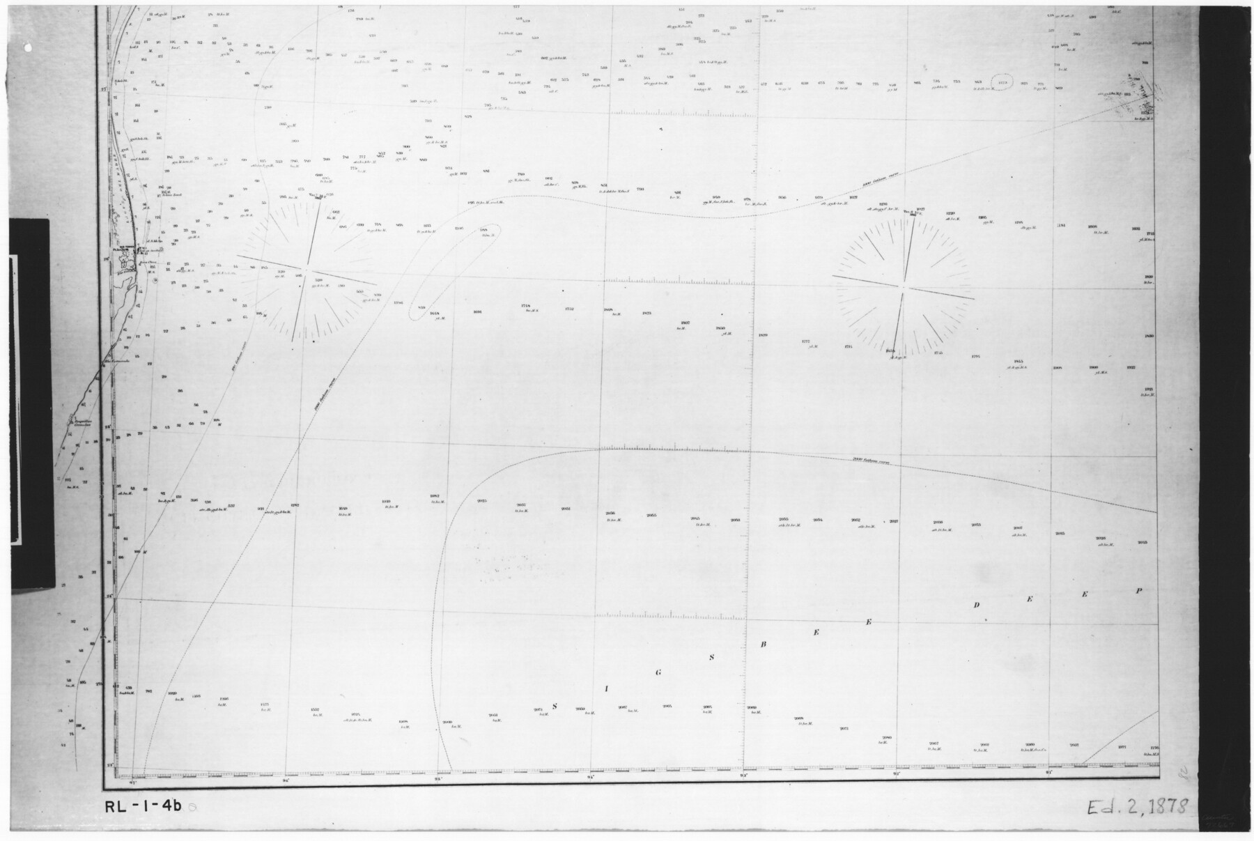
Gulf Coast of the United States, Key West to Rio Grande
RL-1-4a
-
Map/Doc
72667
-
Collection
General Map Collection
-
Object Dates
1863 (Creation Date)
-
People and Organizations
U. S. Coast and Geodetic Survey (Author)
-
Subjects
Nautical Charts
-
Height x Width
18.3 x 27.2 inches
46.5 x 69.1 cm
-
Comments
B/W photostat copy from National Archives in multiple pieces. Chart No. 5, Edition 2, Plate No. 1451, 1878
Part of: General Map Collection
Llano County Sketch File 3

Print $6.00
- Digital $50.00
Llano County Sketch File 3
1874
Size 8.0 x 8.9 inches
Map/Doc 30350
Sabine Pass and mouth of the River Sabine

Print $20.00
- Digital $50.00
Sabine Pass and mouth of the River Sabine
1840
Size 27.0 x 18.3 inches
Map/Doc 72726
Map of a part of Laguna Madre showing subdivision for mineral development

Print $40.00
- Digital $50.00
Map of a part of Laguna Madre showing subdivision for mineral development
1946
Size 50.0 x 29.0 inches
Map/Doc 2915
Flight Mission No. CGI-3N, Frame 48, Cameron County

Print $20.00
- Digital $50.00
Flight Mission No. CGI-3N, Frame 48, Cameron County
1954
Size 18.7 x 22.2 inches
Map/Doc 84554
Gaines County Sketch File 20

Print $12.00
- Digital $50.00
Gaines County Sketch File 20
1906
Size 7.1 x 8.9 inches
Map/Doc 23335
Fort Bend County Sketch File 13

Print $30.00
- Digital $50.00
Fort Bend County Sketch File 13
1888
Size 14.3 x 8.8 inches
Map/Doc 22908
Maps of Gulf Intracoastal Waterway, Texas - Sabine River to the Rio Grande and connecting waterways including ship channels

Print $20.00
- Digital $50.00
Maps of Gulf Intracoastal Waterway, Texas - Sabine River to the Rio Grande and connecting waterways including ship channels
1966
Size 14.6 x 20.5 inches
Map/Doc 61991
Hunt County Boundary File 4

Print $16.00
- Digital $50.00
Hunt County Boundary File 4
Size 14.3 x 8.6 inches
Map/Doc 55214
Coast of Texas Between Brazos River and Matagorda Bay

Print $40.00
- Digital $50.00
Coast of Texas Between Brazos River and Matagorda Bay
1853
Size 32.6 x 72.1 inches
Map/Doc 69977
Midland County Sketch File 19

Print $74.00
- Digital $50.00
Midland County Sketch File 19
1952
Size 11.1 x 8.7 inches
Map/Doc 31587
Jefferson County NRC Article 33.136 Sketch 2

Print $20.00
- Digital $50.00
Jefferson County NRC Article 33.136 Sketch 2
2002
Size 24.3 x 35.9 inches
Map/Doc 77048
Cherokee County Working Sketch 27

Print $40.00
- Digital $50.00
Cherokee County Working Sketch 27
1982
Size 42.9 x 59.1 inches
Map/Doc 67982
You may also like
Ellis County Boundary File 3

Print $58.00
- Digital $50.00
Ellis County Boundary File 3
Size 14.1 x 122.4 inches
Map/Doc 52950
Reagan County Working Sketch 24

Print $20.00
- Digital $50.00
Reagan County Working Sketch 24
1958
Size 45.4 x 39.9 inches
Map/Doc 71866

[Surveying sketch of M.K. McDermott, T. C. R.R. Co., I. & G. N. Ry. Co., et al in Williamson County]
![407, [Surveying sketch of M.K. McDermott, T. C. R.R. Co., I. & G. N. Ry. Co., et al in Williamson County], Maddox Collection](https://historictexasmaps.com/wmedia_w700/maps/407.tif.jpg)
Print $3.00
- Digital $50.00
[Surveying sketch of M.K. McDermott, T. C. R.R. Co., I. & G. N. Ry. Co., et al in Williamson County]
1889
Size 11.5 x 12.6 inches
Map/Doc 407
[T. & P. Block 44, Township 1S]
![90825, [T. & P. Block 44, Township 1S], Twichell Survey Records](https://historictexasmaps.com/wmedia_w700/maps/90825-2.tif.jpg)
Print $20.00
- Digital $50.00
[T. & P. Block 44, Township 1S]
Size 17.9 x 23.3 inches
Map/Doc 90825
Liberty County Working Sketch 62

Print $20.00
- Digital $50.00
Liberty County Working Sketch 62
1969
Size 22.1 x 28.3 inches
Map/Doc 70522
America's Fun-Tier: Texas 1965 Official Highway Travel Map

Digital $50.00
America's Fun-Tier: Texas 1965 Official Highway Travel Map
Size 28.2 x 36.4 inches
Map/Doc 94325
Travis County Rolled Sketch 32A

Print $40.00
- Digital $50.00
Travis County Rolled Sketch 32A
Size 57.6 x 37.3 inches
Map/Doc 10013
Hays County Rolled Sketch 23

Print $20.00
- Digital $50.00
Hays County Rolled Sketch 23
Size 20.1 x 19.4 inches
Map/Doc 6179
Edwards County Working Sketch 41

Print $20.00
- Digital $50.00
Edwards County Working Sketch 41
1949
Size 29.5 x 30.7 inches
Map/Doc 68917
[E. L. & R. R. RR. Blk. 32 and Blk.10 in Northwest corner of County]
![90124, [E. L. & R. R. RR. Blk. 32 and Blk.10 in Northwest corner of County], Twichell Survey Records](https://historictexasmaps.com/wmedia_w700/maps/90124-1.tif.jpg)
Print $2.00
- Digital $50.00
[E. L. & R. R. RR. Blk. 32 and Blk.10 in Northwest corner of County]
Size 14.2 x 8.7 inches
Map/Doc 90124
Edwards County Working Sketch 66

Print $20.00
- Digital $50.00
Edwards County Working Sketch 66
1957
Size 24.1 x 17.3 inches
Map/Doc 68942