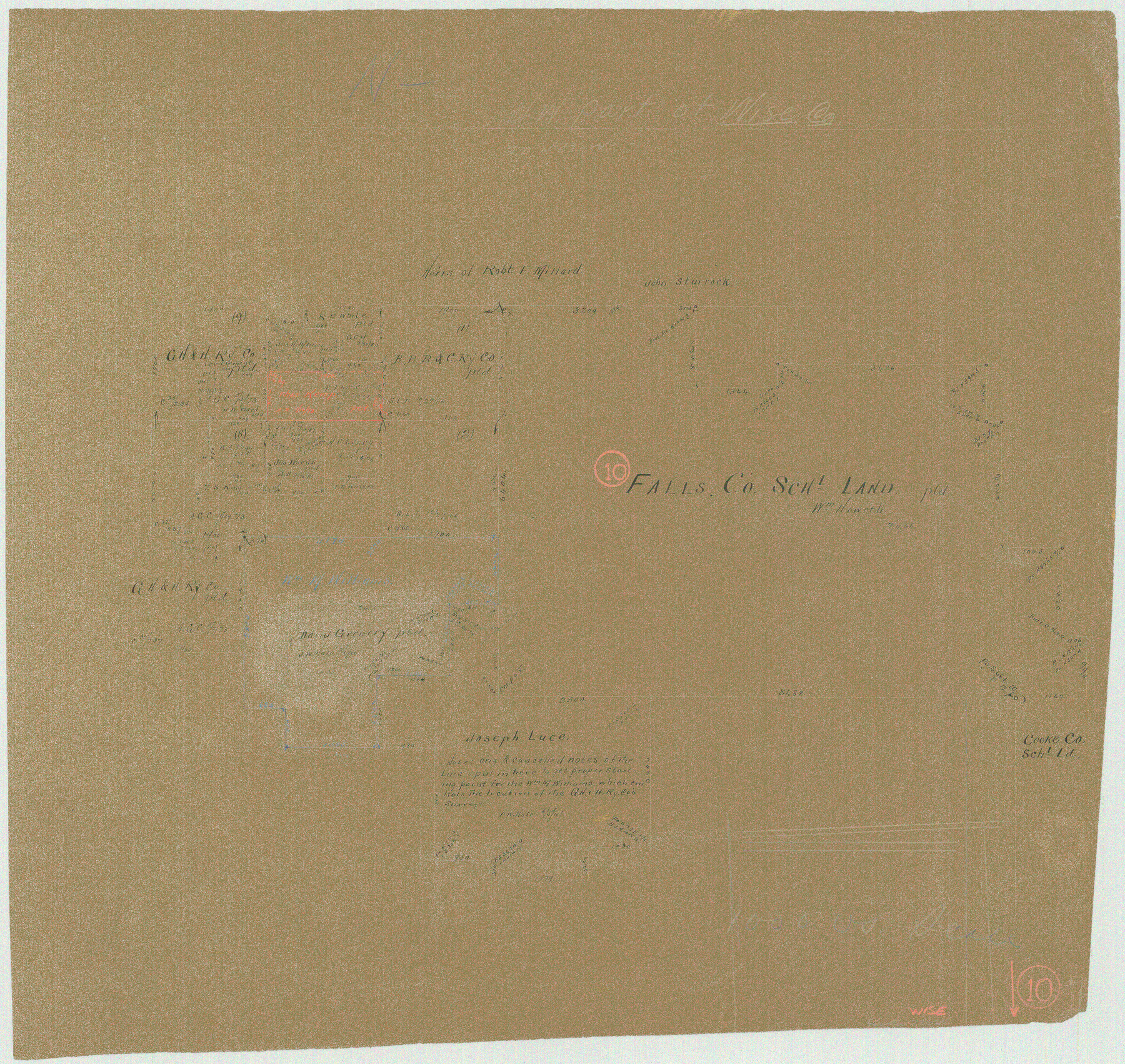
Wise County Working Sketch 10
-
Map/Doc
72624
-
Collection
General Map Collection
-
Counties
Wise
-
Subjects
Surveying Working Sketch
-
Height x Width
17.4 x 18.4 inches
44.2 x 46.7 cm
Part of: General Map Collection
Dimmit County Working Sketch 42

Print $20.00
- Digital $50.00
Dimmit County Working Sketch 42
1977
Size 33.5 x 39.6 inches
Map/Doc 68703
Schleicher County Rolled Sketch 23

Print $20.00
- Digital $50.00
Schleicher County Rolled Sketch 23
1961
Size 30.7 x 22.9 inches
Map/Doc 7762
Upton County Working Sketch 10

Print $20.00
- Digital $50.00
Upton County Working Sketch 10
1926
Size 28.1 x 30.6 inches
Map/Doc 69506
Brazos River, Brazos River Sheet 1

Print $4.00
- Digital $50.00
Brazos River, Brazos River Sheet 1
1926
Size 21.5 x 25.4 inches
Map/Doc 65293
Flight Mission No. BRE-3P, Frame 92, Nueces County

Print $20.00
- Digital $50.00
Flight Mission No. BRE-3P, Frame 92, Nueces County
1956
Size 18.6 x 22.5 inches
Map/Doc 86823
Official Map of El Paso

Print $40.00
- Digital $50.00
Official Map of El Paso
1899
Size 53.9 x 60.3 inches
Map/Doc 2190
El Paso County Working Sketch 26

Print $20.00
- Digital $50.00
El Paso County Working Sketch 26
1963
Size 35.4 x 18.6 inches
Map/Doc 69048
[Gulf Coast of Texas]
![72702, [Gulf Coast of Texas], General Map Collection](https://historictexasmaps.com/wmedia_w700/maps/72702.tif.jpg)
Print $20.00
- Digital $50.00
[Gulf Coast of Texas]
1881
Size 28.6 x 18.2 inches
Map/Doc 72702
Hood County Working Sketch 3

Print $20.00
- Digital $50.00
Hood County Working Sketch 3
1960
Size 24.6 x 43.9 inches
Map/Doc 66197
Map of Burnet County

Print $20.00
- Digital $50.00
Map of Burnet County
1862
Size 27.1 x 22.5 inches
Map/Doc 3353
Matagorda Bay and Approaches

Print $20.00
- Digital $50.00
Matagorda Bay and Approaches
1946
Size 35.2 x 44.8 inches
Map/Doc 73379
Preliminary Chart No. 31 of the Sea Coast of the United States from Galveston Bay to Matagorda Bay, Texas

Print $20.00
- Digital $50.00
Preliminary Chart No. 31 of the Sea Coast of the United States from Galveston Bay to Matagorda Bay, Texas
1857
Size 22.7 x 38.7 inches
Map/Doc 69949
You may also like
Mason County Boundary File 63

Print $10.00
- Digital $50.00
Mason County Boundary File 63
Size 9.4 x 5.9 inches
Map/Doc 56879
[University Lands Blocks 16-20]
![91628, [University Lands Blocks 16-20], Twichell Survey Records](https://historictexasmaps.com/wmedia_w700/maps/91628-1.tif.jpg)
Print $3.00
- Digital $50.00
[University Lands Blocks 16-20]
Size 14.5 x 11.2 inches
Map/Doc 91628
Yoakum County Sketch File 6

Print $24.00
- Digital $50.00
Yoakum County Sketch File 6
Size 14.5 x 8.8 inches
Map/Doc 40738
Bien & Sterner's New Rail Road Map of the United States and the Canadas compiled from the latest surveys & locations under the direction of Zerah Colburn Esq., editor of the Rail Road Advocate

Print $20.00
- Digital $50.00
Bien & Sterner's New Rail Road Map of the United States and the Canadas compiled from the latest surveys & locations under the direction of Zerah Colburn Esq., editor of the Rail Road Advocate
1855
Size 27.5 x 32.3 inches
Map/Doc 95963
Sutton County Sketch File 14

Print $20.00
- Digital $50.00
Sutton County Sketch File 14
1924
Size 17.8 x 20.0 inches
Map/Doc 12380
[Map of Parker County]
![3948, [Map of Parker County], General Map Collection](https://historictexasmaps.com/wmedia_w700/maps/3948.tif.jpg)
Print $20.00
- Digital $50.00
[Map of Parker County]
1889
Size 25.9 x 32.9 inches
Map/Doc 3948
Coleman County Sketch File 50

Print $4.00
- Digital $50.00
Coleman County Sketch File 50
Size 12.6 x 8.2 inches
Map/Doc 18853

Brazoria County Sketch File 10a

Print $50.00
- Digital $50.00
Brazoria County Sketch File 10a
1912
Size 7.1 x 8.7 inches
Map/Doc 14940
Andrews County Sketch File 15

Print $24.00
- Digital $50.00
Andrews County Sketch File 15
Size 11.2 x 8.9 inches
Map/Doc 12887
Galveston County Rolled Sketch 30

Print $20.00
- Digital $50.00
Galveston County Rolled Sketch 30
1979
Size 28.0 x 39.8 inches
Map/Doc 5964
Hockley County Working Sketch 1

Print $40.00
- Digital $50.00
Hockley County Working Sketch 1
1946
Size 26.0 x 60.9 inches
Map/Doc 66191