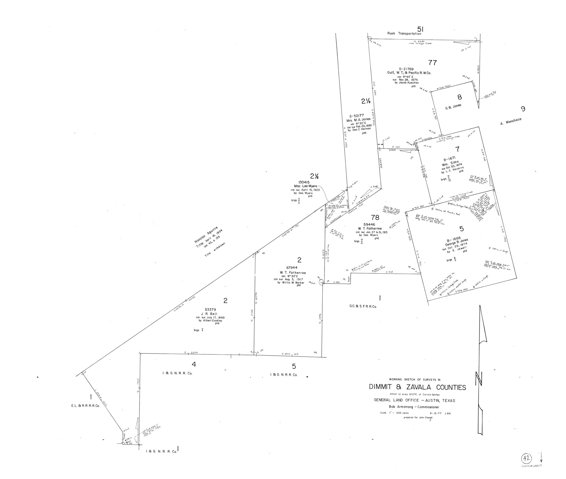
Dimmit County Working Sketch 42
-
Map/Doc
68703
-
Collection
General Map Collection
-
Object Dates
9/12/1977 (Creation Date)
-
People and Organizations
Joan Kilpatrick (Draftsman)
-
Counties
Dimmit Zavala
-
Subjects
Surveying Working Sketch
-
Height x Width
33.5 x 39.6 inches
85.1 x 100.6 cm
-
Scale
1" = 300 varas
Part of: General Map Collection
Runnels County Rolled Sketch 18

Print $20.00
- Digital $50.00
Runnels County Rolled Sketch 18
Size 23.1 x 25.3 inches
Map/Doc 7513
Zavalla County

Print $20.00
- Digital $50.00
Zavalla County
1878
Size 22.7 x 26.9 inches
Map/Doc 4179
Sutton County Sketch File 10

Print $8.00
- Digital $50.00
Sutton County Sketch File 10
1897
Size 14.1 x 8.7 inches
Map/Doc 37370
Texas Gulf Coast Map from the Sabine River to the Rio Grande as subdivided for mineral development

Print $20.00
- Digital $50.00
Texas Gulf Coast Map from the Sabine River to the Rio Grande as subdivided for mineral development
1948
Size 45.0 x 39.9 inches
Map/Doc 2911
[Sketch for Mineral Application 26501 - Sabine River, T. A. Oldhausen]
![2843, [Sketch for Mineral Application 26501 - Sabine River, T. A. Oldhausen], General Map Collection](https://historictexasmaps.com/wmedia_w700/maps/2843.tif.jpg)
Print $20.00
- Digital $50.00
[Sketch for Mineral Application 26501 - Sabine River, T. A. Oldhausen]
1931
Size 23.8 x 36.2 inches
Map/Doc 2843
Brooks County Sketch File 8

Print $40.00
- Digital $50.00
Brooks County Sketch File 8
1946
Size 26.5 x 38.4 inches
Map/Doc 11018
Flight Mission No. CRE-3R, Frame 41, Jackson County

Print $20.00
- Digital $50.00
Flight Mission No. CRE-3R, Frame 41, Jackson County
1956
Size 18.6 x 22.4 inches
Map/Doc 85388
Pecos County Boundary File 69

Print $22.00
- Digital $50.00
Pecos County Boundary File 69
Size 7.8 x 3.4 inches
Map/Doc 57890
Wood County Sketch File 3

Print $4.00
- Digital $50.00
Wood County Sketch File 3
1848
Size 10.1 x 8.1 inches
Map/Doc 40633
Montgomery County Rolled Sketch 27

Print $20.00
- Digital $50.00
Montgomery County Rolled Sketch 27
Size 34.5 x 34.4 inches
Map/Doc 9536

Tarrant County Sketch File 1a

Print $4.00
- Digital $50.00
Tarrant County Sketch File 1a
1851
Size 10.2 x 7.8 inches
Map/Doc 37670
You may also like
Clay County Sketch File 3

Print $2.00
- Digital $50.00
Clay County Sketch File 3
Size 8.7 x 7.7 inches
Map/Doc 18391
Flight Mission No. CUG-3P, Frame 39, Kleberg County

Print $20.00
- Digital $50.00
Flight Mission No. CUG-3P, Frame 39, Kleberg County
1956
Size 18.4 x 22.2 inches
Map/Doc 86244
Flight Mission No. CRC-3R, Frame 43, Chambers County

Print $20.00
- Digital $50.00
Flight Mission No. CRC-3R, Frame 43, Chambers County
1956
Size 18.5 x 22.3 inches
Map/Doc 84816
Matagorda Bay and Approaches

Print $20.00
- Digital $50.00
Matagorda Bay and Approaches
1957
Size 35.1 x 44.8 inches
Map/Doc 73381
Brewster County Sketch File 20

Print $40.00
- Digital $50.00
Brewster County Sketch File 20
1946
Size 19.1 x 15.2 inches
Map/Doc 10979
Flight Mission No. DQO-3K, Frame 41, Galveston County

Print $20.00
- Digital $50.00
Flight Mission No. DQO-3K, Frame 41, Galveston County
1952
Size 18.7 x 22.5 inches
Map/Doc 85082
Crockett County Working Sketch 29

Print $40.00
- Digital $50.00
Crockett County Working Sketch 29
1924
Size 42.8 x 57.6 inches
Map/Doc 68362
Hall County Rolled Sketch C

Print $20.00
- Digital $50.00
Hall County Rolled Sketch C
1902
Size 32.7 x 46.4 inches
Map/Doc 76023
San Augustine County Working Sketch 5

Print $20.00
- Digital $50.00
San Augustine County Working Sketch 5
1935
Size 39.0 x 37.4 inches
Map/Doc 63692
Potter County Boundary File 5a

Print $80.00
- Digital $50.00
Potter County Boundary File 5a
Size 13.0 x 71.0 inches
Map/Doc 58024
Limestone County Working Sketch 10

Print $20.00
- Digital $50.00
Limestone County Working Sketch 10
1922
Size 21.1 x 10.0 inches
Map/Doc 70560
