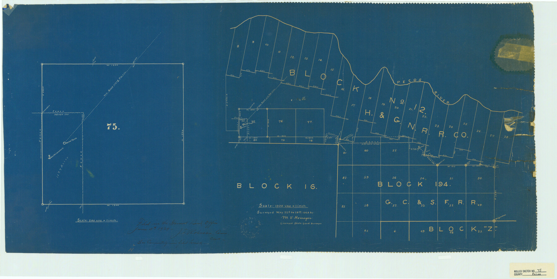
Pecos County Rolled Sketch 75
[Sketch of NW part of Block 194, Pecos County, Texas]
-
Map/Doc
7237
-
Collection
General Map Collection
-
Object Dates
1929/5/28 (Survey Date)
1929/6/5 (File Date)
-
People and Organizations
M.V. Homeyer (Surveyor/Engineer)
-
Counties
Pecos
-
Subjects
Surveying Rolled Sketch
-
Height x Width
18.8 x 37.5 inches
47.8 x 95.3 cm
-
Medium
blueprint/diazo
-
Scale
1" = 1000 varas
Part of: General Map Collection
Rio Grande Rectification Project, El Paso and Juarez Valley

Print $20.00
- Digital $50.00
Rio Grande Rectification Project, El Paso and Juarez Valley
1935
Size 10.9 x 29.6 inches
Map/Doc 60868
Map of DeWitt County

Print $20.00
- Digital $50.00
Map of DeWitt County
1853
Size 21.5 x 25.5 inches
Map/Doc 3479
A Traveler's Map of Spain and Portugal

A Traveler's Map of Spain and Portugal
Size 36.1 x 22.9 inches
Map/Doc 95937
Culberson County Working Sketch 56

Print $20.00
- Digital $50.00
Culberson County Working Sketch 56
1974
Size 38.7 x 32.1 inches
Map/Doc 68510
Lynn County Rolled Sketch A1

Print $20.00
- Digital $50.00
Lynn County Rolled Sketch A1
1904
Size 39.2 x 43.3 inches
Map/Doc 8347
Lamar County Sketch File 6

Print $40.00
- Digital $50.00
Lamar County Sketch File 6
Size 16.2 x 13.4 inches
Map/Doc 29286
[San Antonio & Aransas Pass]
![64209, [San Antonio & Aransas Pass], General Map Collection](https://historictexasmaps.com/wmedia_w700/maps/64209.tif.jpg)
Print $20.00
- Digital $50.00
[San Antonio & Aransas Pass]
Size 15.2 x 45.5 inches
Map/Doc 64209
Midland County Sketch File 5

Print $2.00
- Digital $50.00
Midland County Sketch File 5
Size 8.4 x 3.5 inches
Map/Doc 31575
Map of Eastland Co.

Print $20.00
- Digital $50.00
Map of Eastland Co.
1896
Size 40.0 x 42.8 inches
Map/Doc 78411
[Jacob Masters league and those adjoining and Surveys on Elkhart Creek]
![183, [Jacob Masters league and those adjoining and Surveys on Elkhart Creek], General Map Collection](https://historictexasmaps.com/wmedia_w700/maps/183.tif.jpg)
Print $20.00
- Digital $50.00
[Jacob Masters league and those adjoining and Surveys on Elkhart Creek]
1846
Size 20.3 x 8.0 inches
Map/Doc 183
Chambers County NRC Article 33.136 Sketch 3

Print $21.00
- Digital $50.00
Chambers County NRC Article 33.136 Sketch 3
2005
Size 25.0 x 36.8 inches
Map/Doc 83595
Madison County

Print $20.00
- Digital $50.00
Madison County
1871
Size 14.0 x 19.6 inches
Map/Doc 3833
You may also like
Wichita County Rolled Sketch 20

Print $45.00
- Digital $50.00
Wichita County Rolled Sketch 20
Size 11.0 x 14.5 inches
Map/Doc 49546
Map of Robertson District

Print $40.00
- Digital $50.00
Map of Robertson District
1846
Size 81.3 x 45.3 inches
Map/Doc 3032
Assortment of drafting pens, ruling pens, and other surveying related instruments

Assortment of drafting pens, ruling pens, and other surveying related instruments
Map/Doc 97317
Clay County Sketch File 10

Print $4.00
- Digital $50.00
Clay County Sketch File 10
1860
Size 8.8 x 7.6 inches
Map/Doc 18406
Concho County Rolled Sketch 16

Print $20.00
- Digital $50.00
Concho County Rolled Sketch 16
1961
Size 24.2 x 15.7 inches
Map/Doc 5551
Outer Continental Shelf Leasing Maps (Texas Offshore Operations)

Print $20.00
- Digital $50.00
Outer Continental Shelf Leasing Maps (Texas Offshore Operations)
Size 17.0 x 18.4 inches
Map/Doc 75847
Reagan County Working Sketch 4

Print $20.00
- Digital $50.00
Reagan County Working Sketch 4
1923
Size 16.8 x 26.3 inches
Map/Doc 71844
The Republic County of Bastrop. December 29, 1845

Print $20.00
The Republic County of Bastrop. December 29, 1845
2020
Size 14.8 x 21.7 inches
Map/Doc 96092
Andrews County Rolled Sketch 22

Print $20.00
- Digital $50.00
Andrews County Rolled Sketch 22
1946
Size 26.4 x 24.0 inches
Map/Doc 77170
Liberty County Sketch File 14

Print $4.00
- Digital $50.00
Liberty County Sketch File 14
1858
Size 12.9 x 8.1 inches
Map/Doc 29915
Harrison County Working Sketch 25

Print $20.00
- Digital $50.00
Harrison County Working Sketch 25
1983
Size 21.9 x 24.0 inches
Map/Doc 66045
Reagan County Working Sketch 3

Print $40.00
- Digital $50.00
Reagan County Working Sketch 3
1923
Size 42.6 x 54.3 inches
Map/Doc 71843