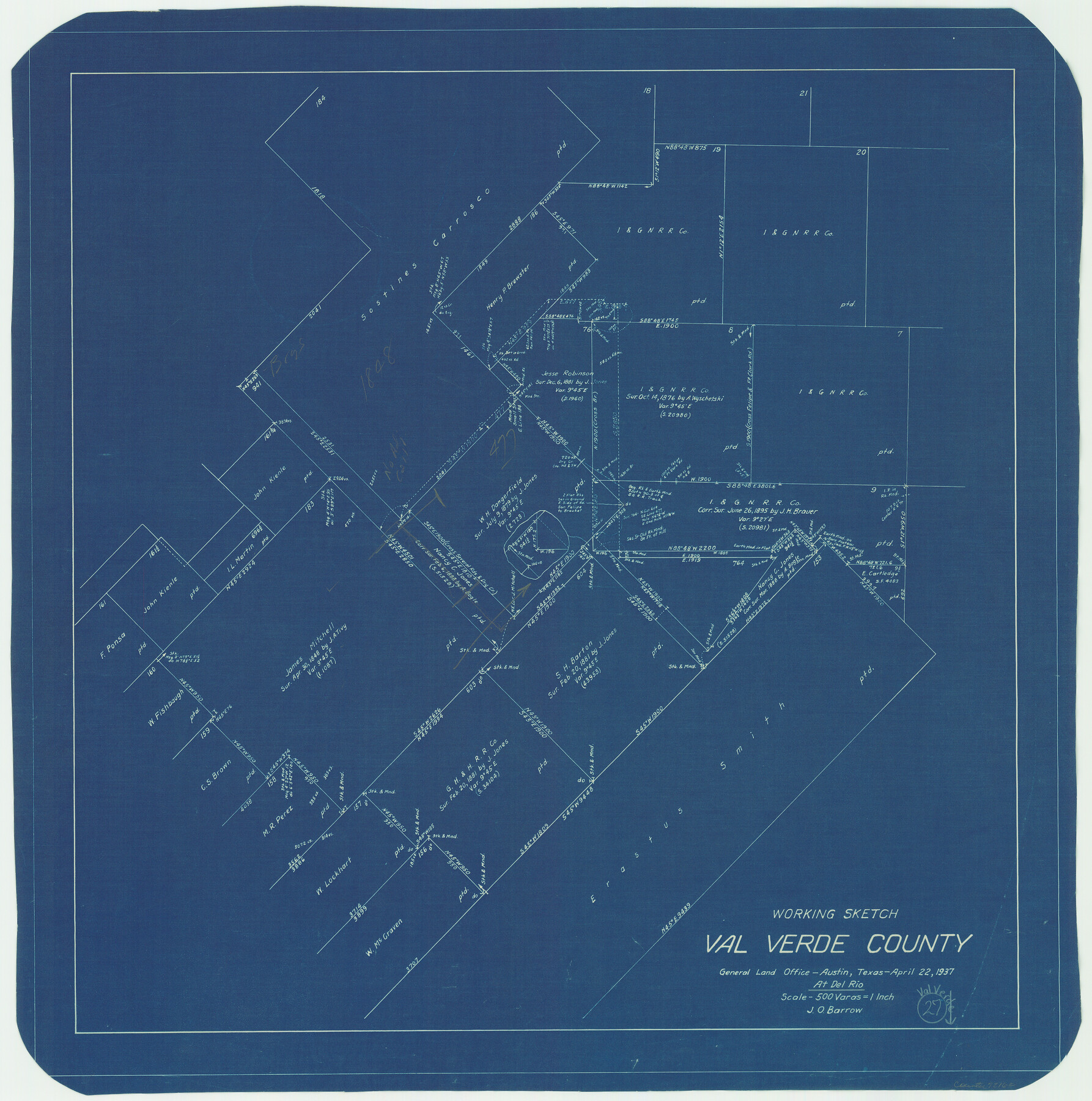
Val Verde County Working Sketch 27
-
Map/Doc
72162
-
Collection
General Map Collection
-
Object Dates
4/22/1937 (Creation Date)
-
People and Organizations
J.O. Barrow (Draftsman)
-
Counties
Val Verde
-
Subjects
Surveying Working Sketch
-
Height x Width
26.6 x 26.4 inches
67.6 x 67.1 cm
-
Scale
1" = 500 varas
Part of: General Map Collection
Comanche County Working Sketch 23

Print $20.00
- Digital $50.00
Comanche County Working Sketch 23
1974
Size 15.7 x 24.7 inches
Map/Doc 68157
Travis County

Print $40.00
- Digital $50.00
Travis County
1880
Size 61.7 x 24.0 inches
Map/Doc 87934
Waller County Sketch File 11

Print $40.00
- Digital $50.00
Waller County Sketch File 11
1913
Size 16.6 x 14.3 inches
Map/Doc 39614
Port Facilities at Texas City, Tex.

Print $20.00
- Digital $50.00
Port Facilities at Texas City, Tex.
Size 13.9 x 15.9 inches
Map/Doc 97161
Water Valley Sheet, North Concho River, Tom Green County

Print $20.00
- Digital $50.00
Water Valley Sheet, North Concho River, Tom Green County
1937
Size 23.6 x 19.1 inches
Map/Doc 65305
Township 12 South Range 14 West and 15 West, South Western District, Louisiana

Print $20.00
- Digital $50.00
Township 12 South Range 14 West and 15 West, South Western District, Louisiana
1838
Size 19.5 x 24.5 inches
Map/Doc 65856
Fort Bend County Rolled Sketch 30 1/2

Print $20.00
- Digital $50.00
Fort Bend County Rolled Sketch 30 1/2
Size 20.1 x 26.5 inches
Map/Doc 5902
Hutchinson County Sketch File 48

Print $38.00
- Digital $50.00
Hutchinson County Sketch File 48
1989
Size 11.2 x 8.8 inches
Map/Doc 27400
Erath County Working Sketch 1

Print $20.00
- Digital $50.00
Erath County Working Sketch 1
Size 16.7 x 20.7 inches
Map/Doc 69082
Flight Mission No. BRA-16M, Frame 48, Jefferson County

Print $20.00
- Digital $50.00
Flight Mission No. BRA-16M, Frame 48, Jefferson County
1953
Size 18.6 x 22.5 inches
Map/Doc 85665
Angelina River, Mud Creek, Sheet 2

Print $4.00
- Digital $50.00
Angelina River, Mud Creek, Sheet 2
1937
Size 26.4 x 18.9 inches
Map/Doc 65076
Bandera County

Print $40.00
- Digital $50.00
Bandera County
1904
Size 33.0 x 52.5 inches
Map/Doc 66710
You may also like
Map of Jackson County Texas

Print $20.00
- Digital $50.00
Map of Jackson County Texas
1840
Size 29.6 x 23.2 inches
Map/Doc 3708

Brown County Sketch File 10a

Print $6.00
- Digital $50.00
Brown County Sketch File 10a
Size 11.2 x 9.8 inches
Map/Doc 16595
Flight Mission No. DAG-21K, Frame 122, Matagorda County

Print $20.00
- Digital $50.00
Flight Mission No. DAG-21K, Frame 122, Matagorda County
1952
Size 18.6 x 22.4 inches
Map/Doc 86448
Webb County Sketch File D

Print $6.00
- Digital $50.00
Webb County Sketch File D
1876
Size 14.4 x 9.0 inches
Map/Doc 39678
DeWitt County Working Sketch 5

Print $20.00
- Digital $50.00
DeWitt County Working Sketch 5
1977
Size 34.6 x 36.8 inches
Map/Doc 68595
Map Exhibiting the Leading Transportation Lines of the Pacific Coast, prepared for the report of the Chief of the Bureau of Statistics on the internal commerce of the United States

Print $20.00
- Digital $50.00
Map Exhibiting the Leading Transportation Lines of the Pacific Coast, prepared for the report of the Chief of the Bureau of Statistics on the internal commerce of the United States
1887
Size 22.2 x 24.5 inches
Map/Doc 95905
Tom Green County Sketch File 16

Print $16.00
- Digital $50.00
Tom Green County Sketch File 16
Size 8.5 x 7.8 inches
Map/Doc 38174
[Portion of Harris County]
![78481, [Portion of Harris County], General Map Collection](https://historictexasmaps.com/wmedia_w700/maps/78481.tif.jpg)
Print $2.00
- Digital $50.00
[Portion of Harris County]
Size 7.9 x 5.1 inches
Map/Doc 78481
University Land Field Note Volume Index

University Land Field Note Volume Index
2023
Size 8.5 x 11.0 inches
Map/Doc 97177
Vicinity map showing railroads serving the ports of Galveston, Houston and Texas City, Texas

Print $20.00
- Digital $50.00
Vicinity map showing railroads serving the ports of Galveston, Houston and Texas City, Texas
Size 9.3 x 14.8 inches
Map/Doc 97164
Harris County Historic Topographic 19

Print $20.00
- Digital $50.00
Harris County Historic Topographic 19
1915
Size 29.3 x 22.6 inches
Map/Doc 65830