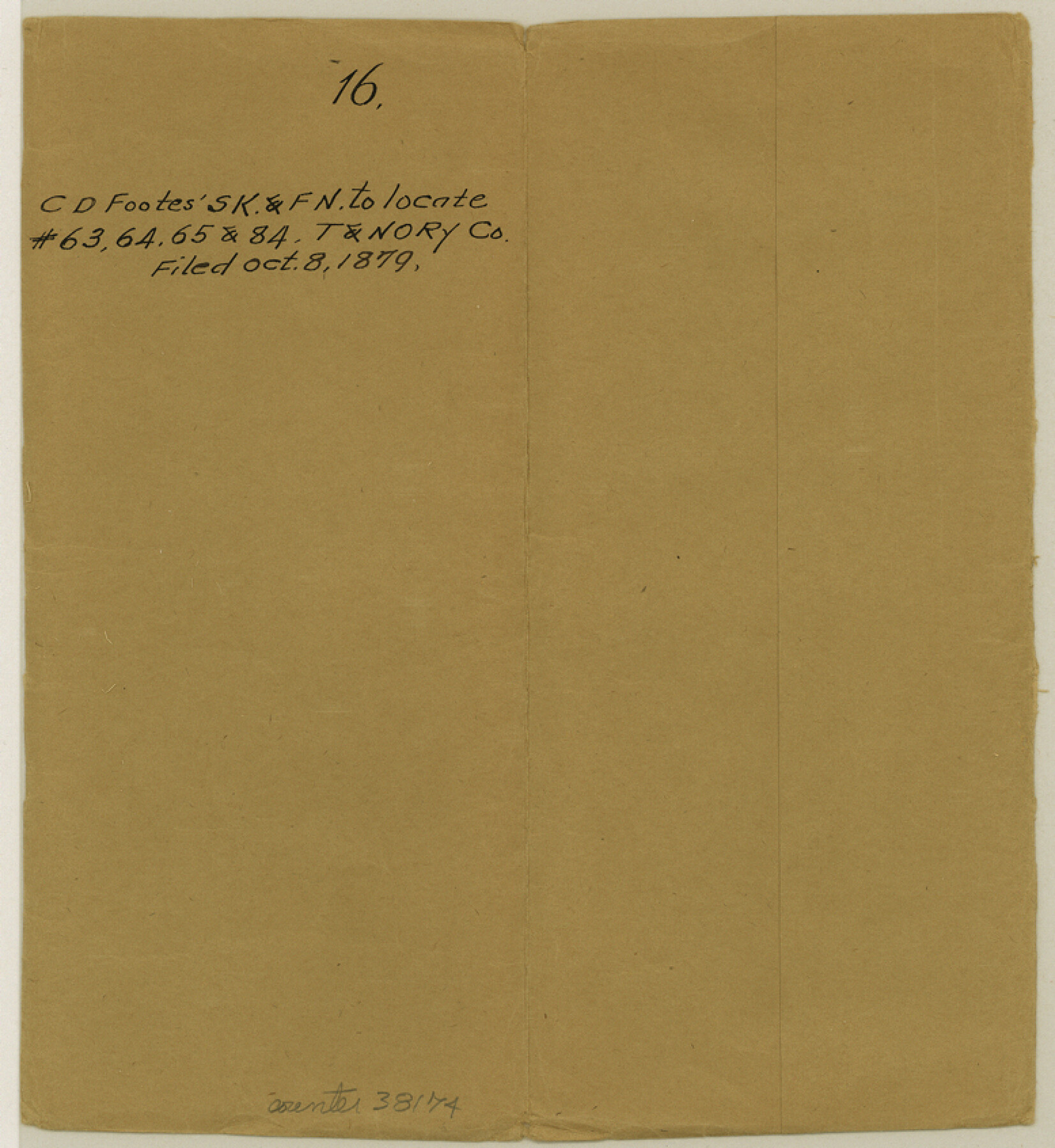
Tom Green County Sketch File 16
[Sketch and field notes to locate surveys 63, 64, 65, and 84, T. & N. O. R.R. Co.]
-
Map/Doc
38174
-
Collection
General Map Collection
-
Object Dates
10/8/1879 (File Date)
-
Counties
Tom Green Runnels
-
Subjects
Surveying Sketch File
-
Height x Width
8.5 x 7.8 inches
21.6 x 19.8 cm
-
Medium
paper, manuscript
-
Scale
1" = 2000 varas
-
Features
Concho River
Part of: General Map Collection
Pecos County Sketch File 36

Print $20.00
- Digital $50.00
Pecos County Sketch File 36
Size 24.9 x 35.3 inches
Map/Doc 12176
Presidio County Sketch File R

Print $18.00
- Digital $50.00
Presidio County Sketch File R
Size 10.3 x 8.4 inches
Map/Doc 34590
[Sketch for Mineral Application 1112 - Colorado River, H. E. Chambers]
![65642, [Sketch for Mineral Application 1112 - Colorado River, H. E. Chambers], General Map Collection](https://historictexasmaps.com/wmedia_w700/maps/65642.tif.jpg)
Print $20.00
- Digital $50.00
[Sketch for Mineral Application 1112 - Colorado River, H. E. Chambers]
1918
Size 17.1 x 28.4 inches
Map/Doc 65642
Flight Mission No. DQN-1K, Frame 27, Calhoun County

Print $20.00
- Digital $50.00
Flight Mission No. DQN-1K, Frame 27, Calhoun County
1953
Size 18.5 x 22.1 inches
Map/Doc 84132
South Part Brewster Co.

Print $40.00
- Digital $50.00
South Part Brewster Co.
1915
Size 39.2 x 51.8 inches
Map/Doc 4760
Sutton County Working Sketch 30

Print $20.00
- Digital $50.00
Sutton County Working Sketch 30
1919
Size 42.6 x 16.9 inches
Map/Doc 62373
Flight Mission No. BRE-2P, Frame 129, Nueces County

Print $20.00
- Digital $50.00
Flight Mission No. BRE-2P, Frame 129, Nueces County
1956
Size 18.6 x 22.7 inches
Map/Doc 86802
PSL Field Notes for Block C24 in Loving and Winkler Counties, and Blocks C25, C26, and C27 in Loving County

PSL Field Notes for Block C24 in Loving and Winkler Counties, and Blocks C25, C26, and C27 in Loving County
Map/Doc 81680
Texas Panhandle East Boundary Line

Print $40.00
- Digital $50.00
Texas Panhandle East Boundary Line
1898
Size 9.2 x 64.9 inches
Map/Doc 1716
Val Verde County Rolled Sketch 36

Print $40.00
- Digital $50.00
Val Verde County Rolled Sketch 36
Size 49.6 x 43.7 inches
Map/Doc 10072
Starr County Rolled Sketch 46B

Print $20.00
- Digital $50.00
Starr County Rolled Sketch 46B
1986
Size 17.9 x 34.5 inches
Map/Doc 7838
Howard County

Print $20.00
- Digital $50.00
Howard County
1922
Size 41.3 x 35.2 inches
Map/Doc 73185
You may also like
[Coleman County Sections 359, 360, and 361]
![92553, [Coleman County Sections 359, 360, and 361], Twichell Survey Records](https://historictexasmaps.com/wmedia_w700/maps/92553-1.tif.jpg)
Print $20.00
- Digital $50.00
[Coleman County Sections 359, 360, and 361]
Size 17.6 x 22.5 inches
Map/Doc 92553
Presidio County Sketch File 31

Print $20.00
- Digital $50.00
Presidio County Sketch File 31
Size 11.4 x 20.8 inches
Map/Doc 11712
America's Fun-Tier: Texas 1965 Official Highway Travel Map

Digital $50.00
America's Fun-Tier: Texas 1965 Official Highway Travel Map
Size 28.2 x 36.4 inches
Map/Doc 94325
Uvalde County Working Sketch 6

Print $20.00
- Digital $50.00
Uvalde County Working Sketch 6
1940
Size 37.8 x 38.9 inches
Map/Doc 72076
Ward County Working Sketch 14

Print $20.00
- Digital $50.00
Ward County Working Sketch 14
1947
Size 30.3 x 28.8 inches
Map/Doc 72320
San Patricio County Rolled Sketch 22
Print $20.00
- Digital $50.00
San Patricio County Rolled Sketch 22
1882
Size 19.3 x 23.9 inches
Map/Doc 7581
Jeff Davis County Sketch File 20

Print $56.00
- Digital $50.00
Jeff Davis County Sketch File 20
1923
Size 11.2 x 8.8 inches
Map/Doc 27978
[Section 34 1/2 and Blk.194, Jno. H. Tyler and Bob Reid Surveys, Yates Field]
![91622, [Section 34 1/2 and Blk.194, Jno. H. Tyler and Bob Reid Surveys, Yates Field], Twichell Survey Records](https://historictexasmaps.com/wmedia_w700/maps/91622-1.tif.jpg)
Print $20.00
- Digital $50.00
[Section 34 1/2 and Blk.194, Jno. H. Tyler and Bob Reid Surveys, Yates Field]
Size 22.7 x 20.6 inches
Map/Doc 91622
Callahan County

Print $20.00
- Digital $50.00
Callahan County
1918
Size 45.3 x 41.0 inches
Map/Doc 66743
Andrews County Working Sketch 29

Print $20.00
- Digital $50.00
Andrews County Working Sketch 29
1988
Size 25.9 x 25.8 inches
Map/Doc 67075
Flight Mission No. BRE-1P, Frame 151, Nueces County

Print $20.00
- Digital $50.00
Flight Mission No. BRE-1P, Frame 151, Nueces County
1956
Size 18.7 x 22.5 inches
Map/Doc 86711
Crockett County Working Sketch 14

Print $3.00
- Digital $50.00
Crockett County Working Sketch 14
1916
Size 12.1 x 9.1 inches
Map/Doc 68347