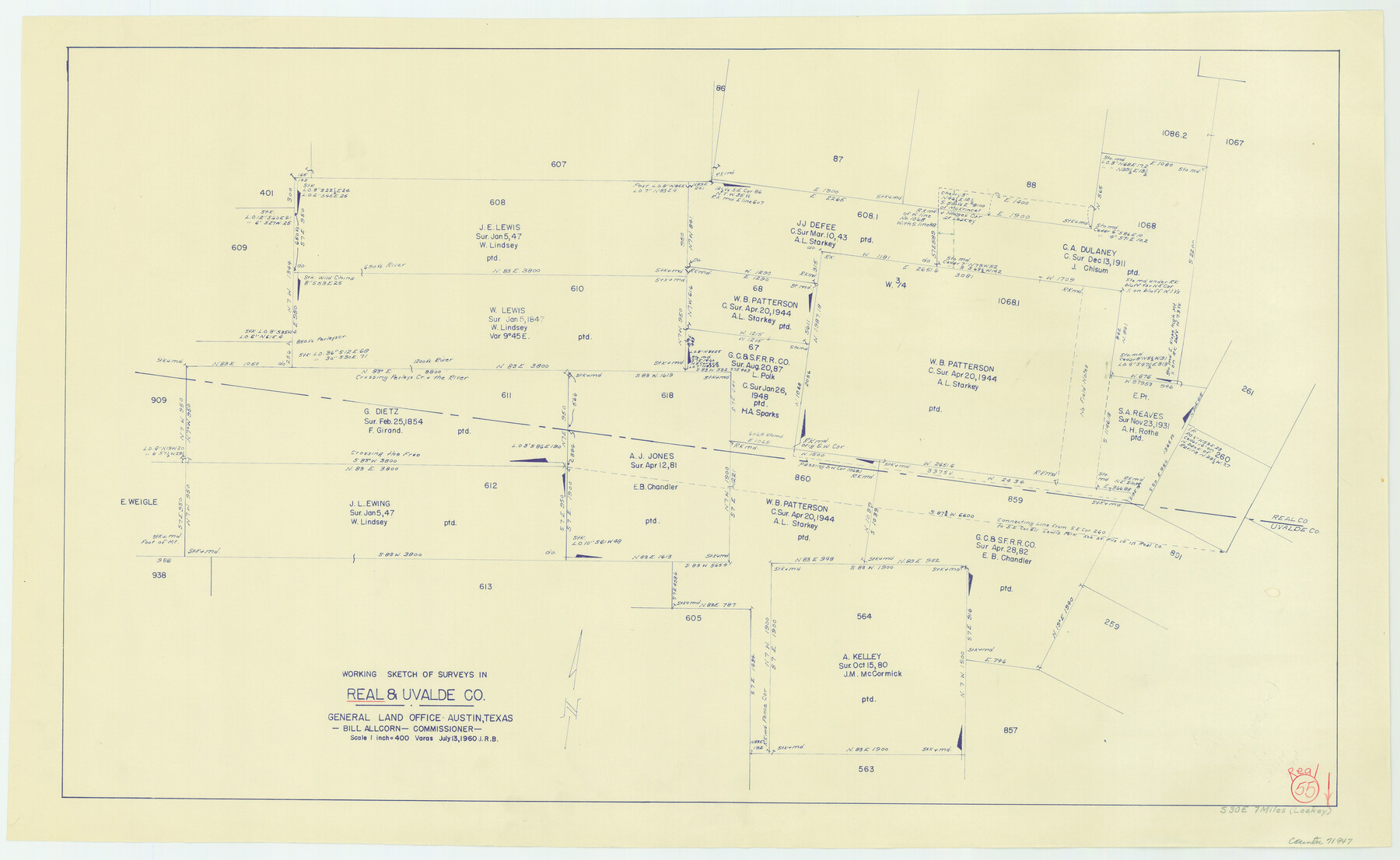
Real County Working Sketch 55
-
Map/Doc
71947
-
Collection
General Map Collection
-
Object Dates
7/13/1960 (Creation Date)
-
Counties
Real Uvalde
-
Subjects
Surveying Working Sketch
-
Height x Width
21.6 x 35.1 inches
54.9 x 89.2 cm
-
Scale
1" = 400 varas
Part of: General Map Collection
Borden County Rolled Sketch 7A

Print $20.00
- Digital $50.00
Borden County Rolled Sketch 7A
1940
Size 16.4 x 18.9 inches
Map/Doc 5158
Panola County Working Sketch 8

Print $20.00
- Digital $50.00
Panola County Working Sketch 8
1943
Map/Doc 71417
Randall County Sketch File 5

Print $20.00
- Digital $50.00
Randall County Sketch File 5
1931
Size 23.9 x 41.7 inches
Map/Doc 10583
Upshur County Working Sketch 14

Print $20.00
- Digital $50.00
Upshur County Working Sketch 14
1993
Size 23.1 x 37.1 inches
Map/Doc 69571
Hydrographic Survey H-6396 of Outer Coast of Padre Island; Gulf of Mexico

Print $40.00
- Digital $50.00
Hydrographic Survey H-6396 of Outer Coast of Padre Island; Gulf of Mexico
1938
Size 55.4 x 34.0 inches
Map/Doc 2698
Medina County

Print $40.00
- Digital $50.00
Medina County
1915
Size 50.1 x 42.1 inches
Map/Doc 66924
Flight Mission No. CRK-5P, Frame 129, Refugio County

Print $20.00
- Digital $50.00
Flight Mission No. CRK-5P, Frame 129, Refugio County
1956
Size 18.4 x 22.3 inches
Map/Doc 86932
Sutton County Working Sketch 51

Print $20.00
- Digital $50.00
Sutton County Working Sketch 51
1955
Size 12.1 x 27.7 inches
Map/Doc 62394
Duval County Sketch File 47

Print $6.00
- Digital $50.00
Duval County Sketch File 47
Size 11.5 x 8.8 inches
Map/Doc 21402
Lee County Working Sketch 11

Print $20.00
- Digital $50.00
Lee County Working Sketch 11
1980
Size 25.2 x 25.7 inches
Map/Doc 70390
South Part Pecos County

Print $20.00
- Digital $50.00
South Part Pecos County
1976
Size 37.9 x 45.3 inches
Map/Doc 95613
Marion County

Print $20.00
- Digital $50.00
Marion County
1943
Size 29.2 x 46.3 inches
Map/Doc 73229
You may also like
[Sketch around I. G. Yates S.F. 12394]
![91548, [Sketch around I. G. Yates S.F. 12394], Twichell Survey Records](https://historictexasmaps.com/wmedia_w700/maps/91548-1.tif.jpg)
Print $3.00
- Digital $50.00
[Sketch around I. G. Yates S.F. 12394]
Size 17.3 x 7.2 inches
Map/Doc 91548
Harris County Working Sketch 36

Print $20.00
- Digital $50.00
Harris County Working Sketch 36
1938
Size 23.8 x 23.8 inches
Map/Doc 65928
Flight Mission No. BRE-2P, Frame 24, Nueces County

Print $20.00
- Digital $50.00
Flight Mission No. BRE-2P, Frame 24, Nueces County
1956
Size 17.8 x 21.0 inches
Map/Doc 86733
Real County Working Sketch 62

Print $20.00
- Digital $50.00
Real County Working Sketch 62
1966
Size 26.4 x 23.2 inches
Map/Doc 71954
Wood County Working Sketch 8

Print $20.00
- Digital $50.00
Wood County Working Sketch 8
1943
Size 27.7 x 25.2 inches
Map/Doc 62008
Hudspeth County Working Sketch 22

Print $40.00
- Digital $50.00
Hudspeth County Working Sketch 22
1967
Size 45.8 x 62.8 inches
Map/Doc 66304
Flight Mission No. BRA-7M, Frame 191, Jefferson County

Print $20.00
- Digital $50.00
Flight Mission No. BRA-7M, Frame 191, Jefferson County
1953
Size 18.6 x 22.4 inches
Map/Doc 85559
Donley County Sketch File 30

Print $24.00
- Digital $50.00
Donley County Sketch File 30
1906
Size 11.3 x 8.7 inches
Map/Doc 21270
Schleicher County Rolled Sketch 9

Print $20.00
- Digital $50.00
Schleicher County Rolled Sketch 9
Size 22.7 x 22.0 inches
Map/Doc 7751
[Randall County]
![92970, [Randall County], Twichell Survey Records](https://historictexasmaps.com/wmedia_w700/maps/92970-1.tif.jpg)
Print $20.00
- Digital $50.00
[Randall County]
Size 14.7 x 12.0 inches
Map/Doc 92970
Real County Working Sketch 12

Print $20.00
- Digital $50.00
Real County Working Sketch 12
1931
Size 19.1 x 18.6 inches
Map/Doc 71904
[Blocks C4, SI, and JK]
![90774, [Blocks C4, SI, and JK], Twichell Survey Records](https://historictexasmaps.com/wmedia_w700/maps/90774-1.tif.jpg)
Print $20.00
- Digital $50.00
[Blocks C4, SI, and JK]
Size 16.1 x 16.3 inches
Map/Doc 90774