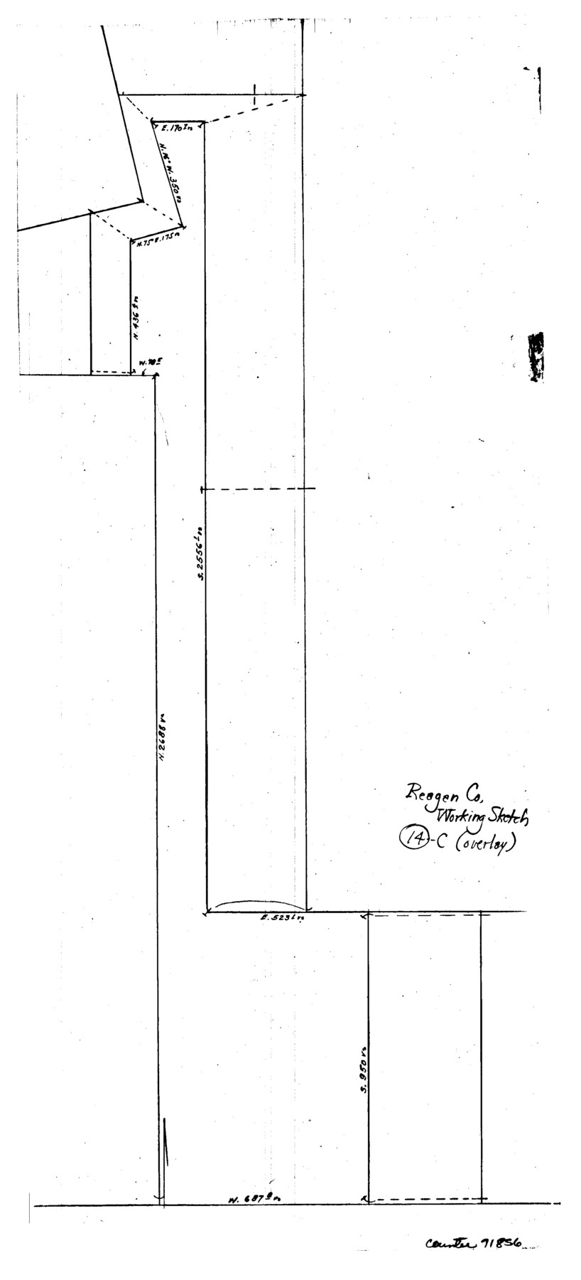
Reagan County Working Sketch 14c
-
Map/Doc
71856
-
Collection
General Map Collection
-
Counties
Reagan
-
Subjects
Surveying Working Sketch
-
Height x Width
20.8 x 9.4 inches
52.8 x 23.9 cm
Part of: General Map Collection
Cass County Rolled Sketch BRR

Print $40.00
- Digital $50.00
Cass County Rolled Sketch BRR
1936
Size 67.3 x 28.0 inches
Map/Doc 8581
Cottle County Rolled Sketch 13

Print $20.00
- Digital $50.00
Cottle County Rolled Sketch 13
1976
Size 21.6 x 35.5 inches
Map/Doc 5571
Hood County Working Sketch 3

Print $20.00
- Digital $50.00
Hood County Working Sketch 3
1960
Size 24.6 x 43.9 inches
Map/Doc 66197
Harris County Working Sketch 26

Print $20.00
- Digital $50.00
Harris County Working Sketch 26
1930
Size 23.9 x 27.2 inches
Map/Doc 65918
Map of Red River County

Print $20.00
- Digital $50.00
Map of Red River County
1872
Size 21.6 x 17.7 inches
Map/Doc 3979
Austin County Working Sketch 8

Print $20.00
- Digital $50.00
Austin County Working Sketch 8
1992
Size 28.7 x 31.6 inches
Map/Doc 67249
Flight Mission No. CRC-5R, Frame 30, Chambers County

Print $20.00
- Digital $50.00
Flight Mission No. CRC-5R, Frame 30, Chambers County
1956
Size 18.6 x 22.4 inches
Map/Doc 84949
Foard County Boundary File 2a

Print $40.00
- Digital $50.00
Foard County Boundary File 2a
Size 33.2 x 14.7 inches
Map/Doc 53514
Rio Grande, Penitas Sheet

Print $20.00
- Digital $50.00
Rio Grande, Penitas Sheet
1937
Size 39.8 x 42.0 inches
Map/Doc 69708
Oldham County Rolled Sketch 9

Print $20.00
- Digital $50.00
Oldham County Rolled Sketch 9
1931
Size 13.4 x 45.2 inches
Map/Doc 7175
Flight Mission No. DQO-14T, Frame 66, Galveston County

Print $20.00
- Digital $50.00
Flight Mission No. DQO-14T, Frame 66, Galveston County
1958
Size 17.6 x 17.4 inches
Map/Doc 85217
Stonewall County Working Sketch 17

Print $20.00
- Digital $50.00
Stonewall County Working Sketch 17
1954
Size 31.5 x 24.7 inches
Map/Doc 62324
You may also like
Brewster County Rolled Sketch 43A

Print $40.00
- Digital $50.00
Brewster County Rolled Sketch 43A
Size 39.5 x 65.6 inches
Map/Doc 8477
Refugio County Sketch File 8a

Print $2.00
- Digital $50.00
Refugio County Sketch File 8a
Size 8.1 x 10.2 inches
Map/Doc 35253

Montague County Working Sketch 2

Print $20.00
- Digital $50.00
Montague County Working Sketch 2
1923
Size 14.4 x 19.9 inches
Map/Doc 71068
Field Notes of Surveys in Travis District (Callahan, Coleman, and Runnels Counties)

Field Notes of Surveys in Travis District (Callahan, Coleman, and Runnels Counties)
Map/Doc 81675
Harris County Boundary File 39 (14)

Print $30.00
- Digital $50.00
Harris County Boundary File 39 (14)
Size 13.2 x 8.1 inches
Map/Doc 54344
![88958, Jackson Co[unty], Library of Congress](https://historictexasmaps.com/wmedia_w700/maps/88958.tif.jpg)
Brewster County Working Sketch 31

Print $20.00
- Digital $50.00
Brewster County Working Sketch 31
1943
Size 24.7 x 20.8 inches
Map/Doc 67565
Burleson County Working Sketch 21

Print $20.00
- Digital $50.00
Burleson County Working Sketch 21
1980
Size 16.4 x 12.7 inches
Map/Doc 67740
Sherman County Rolled Sketch 7

Print $20.00
- Digital $50.00
Sherman County Rolled Sketch 7
1919
Size 32.7 x 19.0 inches
Map/Doc 7787
McCulloch County Sketch File 2

Print $4.00
- Digital $50.00
McCulloch County Sketch File 2
1872
Size 12.8 x 8.1 inches
Map/Doc 31167
Hardin County Sketch File 46

Print $8.00
- Digital $50.00
Hardin County Sketch File 46
1875
Size 12.8 x 8.4 inches
Map/Doc 25196