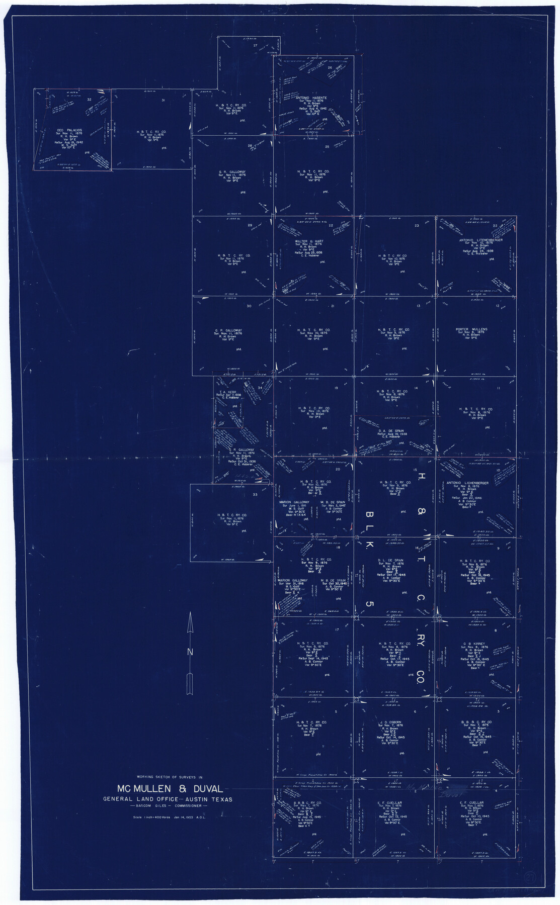
McMullen County Working Sketch 27
-
Map/Doc
70728
-
Collection
General Map Collection
-
Object Dates
1/14/1953 (Creation Date)
-
Counties
McMullen Duval
-
Subjects
Surveying Working Sketch
-
Height x Width
53.2 x 32.9 inches
135.1 x 83.6 cm
-
Scale
1" = 400 varas
Part of: General Map Collection
Knox County Sketch File 29

Print $20.00
- Digital $50.00
Knox County Sketch File 29
Size 18.6 x 36.1 inches
Map/Doc 11965
Kerr County Sketch File 25

Print $4.00
- Digital $50.00
Kerr County Sketch File 25
1873
Size 10.0 x 8.0 inches
Map/Doc 28905
La Salle County Sketch File 29

Print $4.00
- Digital $50.00
La Salle County Sketch File 29
1889
Size 9.0 x 13.6 inches
Map/Doc 29561
[Surveys in the Liberty District]
![162, [Surveys in the Liberty District], General Map Collection](https://historictexasmaps.com/wmedia_w700/maps/162.tif.jpg)
Print $2.00
- Digital $50.00
[Surveys in the Liberty District]
1841
Size 7.6 x 10.3 inches
Map/Doc 162
Garza County Sketch File 26a

Print $20.00
- Digital $50.00
Garza County Sketch File 26a
1915
Size 13.1 x 23.9 inches
Map/Doc 11547
Current Miscellaneous File 37

Print $4.00
- Digital $50.00
Current Miscellaneous File 37
Size 13.2 x 8.7 inches
Map/Doc 73956
Flight Mission No. BRA-17M, Frame 6, Jefferson County

Print $20.00
- Digital $50.00
Flight Mission No. BRA-17M, Frame 6, Jefferson County
1953
Size 18.5 x 22.2 inches
Map/Doc 85787
Flight Mission No. CRC-3R, Frame 42, Chambers County

Print $20.00
- Digital $50.00
Flight Mission No. CRC-3R, Frame 42, Chambers County
1956
Size 18.8 x 22.4 inches
Map/Doc 84815
Flight Mission No. DAG-26K, Frame 61, Matagorda County

Print $20.00
- Digital $50.00
Flight Mission No. DAG-26K, Frame 61, Matagorda County
1953
Size 18.7 x 22.6 inches
Map/Doc 86581
Childress County Sketch File 2

Print $24.00
- Digital $50.00
Childress County Sketch File 2
Size 6.5 x 16.1 inches
Map/Doc 18244
Van Zandt County Sketch File 26

Print $4.00
- Digital $50.00
Van Zandt County Sketch File 26
1858
Size 6.7 x 7.9 inches
Map/Doc 39445
Hale County Working Sketch 3

Print $20.00
- Digital $50.00
Hale County Working Sketch 3
1963
Size 27.0 x 22.2 inches
Map/Doc 63323
You may also like
[Sketch of area in dispute between Archibald Smith and Cyrena McReara Surveys]
![91923, [Sketch of area in dispute between Archibald Smith and Cyrena McReara Surveys], Twichell Survey Records](https://historictexasmaps.com/wmedia_w700/maps/91923-1.tif.jpg)
Print $20.00
- Digital $50.00
[Sketch of area in dispute between Archibald Smith and Cyrena McReara Surveys]
Size 27.8 x 31.9 inches
Map/Doc 91923
Real County Working Sketch 46

Print $20.00
- Digital $50.00
Real County Working Sketch 46
1956
Size 21.2 x 18.9 inches
Map/Doc 71938
Corrected Map of T&P Ry. surveys in counties Pecos-Presidio-El Paso

Print $20.00
- Digital $50.00
Corrected Map of T&P Ry. surveys in counties Pecos-Presidio-El Paso
1884
Size 27.9 x 39.0 inches
Map/Doc 2301
[H. & T. C. Block 47, Sections 58-66 and part of Block 3]
![91791, [H. & T. C. Block 47, Sections 58-66 and part of Block 3], Twichell Survey Records](https://historictexasmaps.com/wmedia_w700/maps/91791-1.tif.jpg)
Print $20.00
- Digital $50.00
[H. & T. C. Block 47, Sections 58-66 and part of Block 3]
Size 24.1 x 12.7 inches
Map/Doc 91791
Pecos County Rolled Sketch 120

Print $40.00
- Digital $50.00
Pecos County Rolled Sketch 120
1945
Size 52.3 x 37.7 inches
Map/Doc 9723
Bastrop County Working Sketch 13

Print $20.00
- Digital $50.00
Bastrop County Working Sketch 13
1979
Size 23.6 x 30.0 inches
Map/Doc 67313
La Salle County Sketch File 15

Print $4.00
- Digital $50.00
La Salle County Sketch File 15
1883
Size 8.6 x 8.4 inches
Map/Doc 29485
Newton County Working Sketch 19

Print $20.00
- Digital $50.00
Newton County Working Sketch 19
1951
Size 28.7 x 23.4 inches
Map/Doc 71265
Kent County Rolled Sketch 3

Print $20.00
- Digital $50.00
Kent County Rolled Sketch 3
1950
Size 27.6 x 25.3 inches
Map/Doc 6474
Sabine County Working Sketch 3

Print $3.00
- Digital $50.00
Sabine County Working Sketch 3
1911
Size 10.8 x 15.7 inches
Map/Doc 63674
Webb County Working Sketch 26

Print $20.00
- Digital $50.00
Webb County Working Sketch 26
1931
Size 17.9 x 18.4 inches
Map/Doc 72391
Galveston County Sketch File 11

Print $40.00
- Digital $50.00
Galveston County Sketch File 11
Size 16.3 x 13.2 inches
Map/Doc 23374