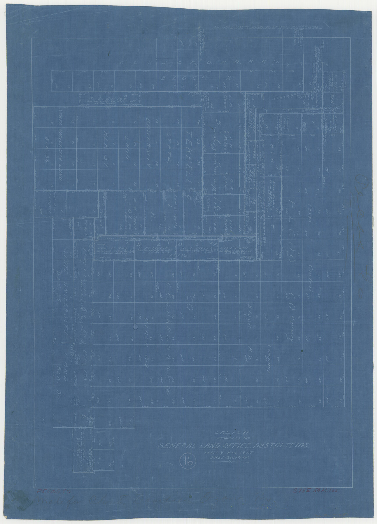
Pecos County Working Sketch 16
-
Map/Doc
71486
-
Collection
General Map Collection
-
Object Dates
7/6/1915 (Creation Date)
-
People and Organizations
L. Ehlinger (Draftsman)
-
Counties
Pecos
-
Subjects
Surveying Working Sketch
-
Height x Width
23.6 x 17.0 inches
59.9 x 43.2 cm
-
Scale
1" = 2000 varas
Part of: General Map Collection
Gaines County Working Sketch 1

Print $40.00
- Digital $50.00
Gaines County Working Sketch 1
1937
Size 22.7 x 53.1 inches
Map/Doc 69301
Bexar County Sketch File 36a

Print $10.00
- Digital $50.00
Bexar County Sketch File 36a
1873
Size 11.3 x 8.8 inches
Map/Doc 14507
Montgomery Co.

Print $40.00
- Digital $50.00
Montgomery Co.
1943
Size 44.0 x 52.4 inches
Map/Doc 77377
La Salle County Rolled Sketch 12

Print $20.00
- Digital $50.00
La Salle County Rolled Sketch 12
Size 25.3 x 37.2 inches
Map/Doc 6575
Brewster County Rolled Sketch 9

Print $40.00
- Digital $50.00
Brewster County Rolled Sketch 9
Size 38.7 x 67.5 inches
Map/Doc 8468
Neches River, Big Eddy Bridge Sheet

Print $20.00
- Digital $50.00
Neches River, Big Eddy Bridge Sheet
1938
Size 41.1 x 21.0 inches
Map/Doc 65084
Set of new maps of Austin's Colony by G. Borden, Jr.

Print $20.00
- Digital $50.00
Set of new maps of Austin's Colony by G. Borden, Jr.
1833
Size 25.0 x 17.0 inches
Map/Doc 131
Cass County Working Sketch 34

Print $20.00
- Digital $50.00
Cass County Working Sketch 34
1982
Size 21.1 x 24.6 inches
Map/Doc 67937
Flight Mission No. DCL-5C, Frame 67, Kenedy County

Print $20.00
- Digital $50.00
Flight Mission No. DCL-5C, Frame 67, Kenedy County
1943
Size 18.5 x 22.2 inches
Map/Doc 85850
Webb County Rolled Sketch 54

Print $20.00
- Digital $50.00
Webb County Rolled Sketch 54
1935
Size 24.8 x 18.6 inches
Map/Doc 8207
Presidio County Rolled Sketch 79

Print $20.00
- Digital $50.00
Presidio County Rolled Sketch 79
Size 22.2 x 27.0 inches
Map/Doc 7365
East Part of Jeff Davis Co.

Print $20.00
- Digital $50.00
East Part of Jeff Davis Co.
1977
Size 47.9 x 36.9 inches
Map/Doc 95544
You may also like
Liberty County Working Sketch 50

Print $20.00
- Digital $50.00
Liberty County Working Sketch 50
1955
Size 22.4 x 33.5 inches
Map/Doc 70510

Wilbarger County Working Sketch 18

Print $20.00
- Digital $50.00
Wilbarger County Working Sketch 18
1965
Size 42.0 x 46.6 inches
Map/Doc 72556
Guide map of the Great Texas Cattle Trail from Red River crossing to the Old Reliable Kansas Pacific Railway

Print $20.00
- Digital $50.00
Guide map of the Great Texas Cattle Trail from Red River crossing to the Old Reliable Kansas Pacific Railway
1873
Size 23.4 x 17.6 inches
Map/Doc 93938
Clay County Sketch File 29

Print $16.00
- Digital $50.00
Clay County Sketch File 29
Size 11.3 x 8.7 inches
Map/Doc 18448
Map of the Texas and Pacific Railway and Connections

Print $20.00
Map of the Texas and Pacific Railway and Connections
1897
Size 19.3 x 24.4 inches
Map/Doc 79328
Pecos County Rolled Sketch 174

Print $20.00
- Digital $50.00
Pecos County Rolled Sketch 174
Size 23.3 x 25.0 inches
Map/Doc 7294
Matagorda County Working Sketch 25

Print $20.00
- Digital $50.00
Matagorda County Working Sketch 25
1975
Size 20.1 x 27.8 inches
Map/Doc 70883
[Capitol Leagues 225-238]
![90677, [Capitol Leagues 225-238], Twichell Survey Records](https://historictexasmaps.com/wmedia_w700/maps/90677-1.tif.jpg)
Print $20.00
- Digital $50.00
[Capitol Leagues 225-238]
Size 23.2 x 13.0 inches
Map/Doc 90677
Martin County Boundary File 2b

Print $40.00
- Digital $50.00
Martin County Boundary File 2b
Size 46.4 x 20.2 inches
Map/Doc 56779
Marion County Working Sketch 3

Print $20.00
- Digital $50.00
Marion County Working Sketch 3
Size 34.9 x 30.0 inches
Map/Doc 70778
Pecos County Rolled Sketch 77

Print $20.00
- Digital $50.00
Pecos County Rolled Sketch 77
1930
Size 38.4 x 23.4 inches
Map/Doc 7238