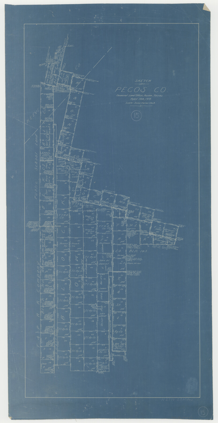
Pecos County Working Sketch 15
-
Map/Doc
71485
-
Collection
General Map Collection
-
Object Dates
4/18/1914 (Creation Date)
-
Counties
Pecos
-
Subjects
Surveying Working Sketch
-
Height x Width
29.8 x 15.4 inches
75.7 x 39.1 cm
-
Scale
1" = 2000 varas
Part of: General Map Collection
Montgomery County

Print $20.00
- Digital $50.00
Montgomery County
1861
Size 18.4 x 22.3 inches
Map/Doc 3890
Montague County Working Sketch 15

Print $20.00
- Digital $50.00
Montague County Working Sketch 15
1943
Size 15.7 x 12.2 inches
Map/Doc 71081
Hudspeth County Working Sketch 24

Print $40.00
- Digital $50.00
Hudspeth County Working Sketch 24
1967
Size 46.0 x 54.9 inches
Map/Doc 66306
Gregg County Working Sketch 9

Print $20.00
- Digital $50.00
Gregg County Working Sketch 9
1939
Size 20.3 x 34.8 inches
Map/Doc 63275

Motley County Sketch File E (S)

Print $52.00
- Digital $50.00
Motley County Sketch File E (S)
Size 14.6 x 9.0 inches
Map/Doc 32169
Smith County Sketch File 9

Print $6.00
- Digital $50.00
Smith County Sketch File 9
1848
Size 16.2 x 10.4 inches
Map/Doc 36763
Brazos County Working Sketch 4

Print $20.00
- Digital $50.00
Brazos County Working Sketch 4
1976
Size 22.5 x 20.6 inches
Map/Doc 67479
Shelby County Working Sketch 7

Print $20.00
- Digital $50.00
Shelby County Working Sketch 7
1942
Size 40.2 x 44.2 inches
Map/Doc 63860
Reagan County Working Sketch 7

Print $20.00
- Digital $50.00
Reagan County Working Sketch 7
1939
Size 29.6 x 30.5 inches
Map/Doc 71847
Jim Wells County Working Sketch 7

Print $20.00
- Digital $50.00
Jim Wells County Working Sketch 7
1944
Size 26.2 x 29.3 inches
Map/Doc 66605
Potter County Sketch File 23

Print $4.00
- Digital $50.00
Potter County Sketch File 23
Size 11.1 x 8.7 inches
Map/Doc 34421
You may also like
Brazoria County Sketch File 10a

Print $50.00
- Digital $50.00
Brazoria County Sketch File 10a
1912
Size 7.1 x 8.7 inches
Map/Doc 14940
Brooks County Boundary File 1a

Print $40.00
- Digital $50.00
Brooks County Boundary File 1a
Size 63.8 x 7.1 inches
Map/Doc 50836
[Aransas County, Texas]
![2083, [Aransas County, Texas], General Map Collection](https://historictexasmaps.com/wmedia_w700/maps/2083.tif.jpg)
Print $20.00
- Digital $50.00
[Aransas County, Texas]
1928
Size 37.5 x 31.3 inches
Map/Doc 2083
Calcasieu Pass to Sabine Pass

Print $20.00
- Digital $50.00
Calcasieu Pass to Sabine Pass
1943
Size 44.5 x 35.1 inches
Map/Doc 69805
Upton County Rolled Sketch 49-CF

Print $20.00
- Digital $50.00
Upton County Rolled Sketch 49-CF
1926
Size 44.9 x 32.4 inches
Map/Doc 76143
Crockett County Sketch File 61

Print $20.00
- Digital $50.00
Crockett County Sketch File 61
1926
Size 22.0 x 26.0 inches
Map/Doc 11228
Somervell County Sketch File 2

Print $20.00
- Digital $50.00
Somervell County Sketch File 2
1847
Size 21.8 x 16.7 inches
Map/Doc 12325
Midland County Working Sketch 11

Print $20.00
- Digital $50.00
Midland County Working Sketch 11
1951
Size 23.2 x 19.2 inches
Map/Doc 70991
Field Notes for the Remonumentation of the Northwest Corner of the State of Texas by the Department of the Interior

Print $38.00
Field Notes for the Remonumentation of the Northwest Corner of the State of Texas by the Department of the Interior
1991
Map/Doc 81687
Hale County Sketch File 13

Print $20.00
- Digital $50.00
Hale County Sketch File 13
Size 36.5 x 23.0 inches
Map/Doc 10470
Colorado County Sketch File 28

Print $17.00
- Digital $50.00
Colorado County Sketch File 28
1935
Size 9.1 x 7.7 inches
Map/Doc 18966
