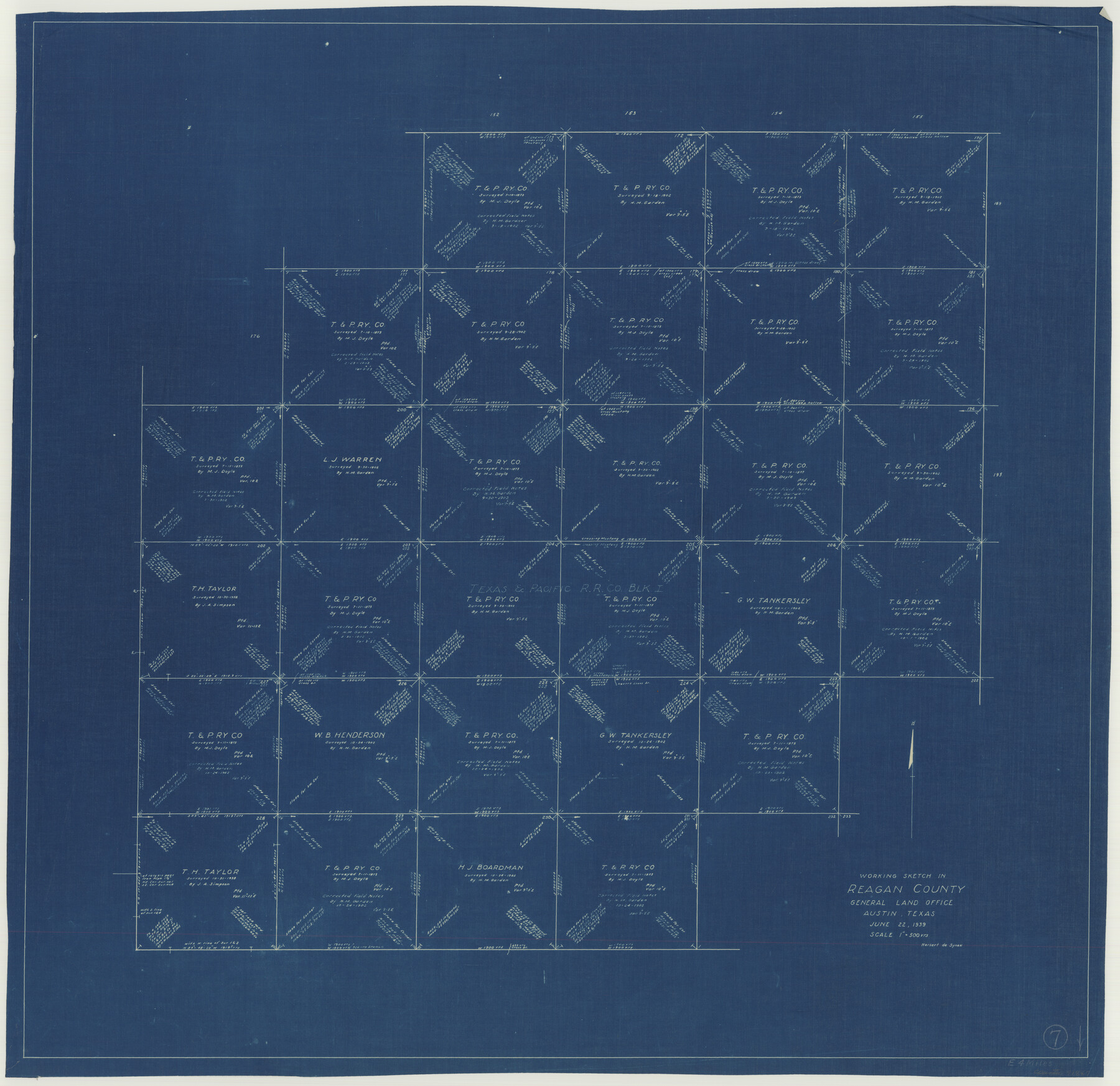
Reagan County Working Sketch 7
-
Map/Doc
71847
-
Collection
General Map Collection
-
Object Dates
6/22/1939 (Creation Date)
-
People and Organizations
Herbert de Synek (Draftsman)
-
Counties
Reagan
-
Subjects
Surveying Working Sketch
-
Height x Width
29.6 x 30.5 inches
75.2 x 77.5 cm
-
Scale
1" = 500 varas
Part of: General Map Collection
Terrell County Rolled Sketch 52

Print $20.00
- Digital $50.00
Terrell County Rolled Sketch 52
1967
Size 26.8 x 30.5 inches
Map/Doc 7970
Pecos County Working Sketch 73

Print $40.00
- Digital $50.00
Pecos County Working Sketch 73
1957
Size 110.6 x 38.7 inches
Map/Doc 71545
Pecos County Working Sketch 4

Print $40.00
- Digital $50.00
Pecos County Working Sketch 4
1929
Size 51.3 x 37.6 inches
Map/Doc 71474
Dawson County Working Sketch 16

Print $20.00
- Digital $50.00
Dawson County Working Sketch 16
1956
Size 13.9 x 18.8 inches
Map/Doc 68560
Bowie County Working Sketch 26

Print $20.00
- Digital $50.00
Bowie County Working Sketch 26
1980
Size 29.1 x 24.7 inches
Map/Doc 67430
Terrell County Rolled Sketch 32

Print $20.00
- Digital $50.00
Terrell County Rolled Sketch 32
Size 20.6 x 25.4 inches
Map/Doc 7938
Map of Zapata County

Print $20.00
- Digital $50.00
Map of Zapata County
1880
Size 27.1 x 25.7 inches
Map/Doc 4177
Pecos County Sketch File 77

Print $4.00
- Digital $50.00
Pecos County Sketch File 77
1943
Size 11.2 x 8.7 inches
Map/Doc 33909
Lamar County Working Sketch 3

Print $20.00
- Digital $50.00
Lamar County Working Sketch 3
1919
Size 26.2 x 24.5 inches
Map/Doc 70264
Floyd County Sketch File 23

Print $8.00
- Digital $50.00
Floyd County Sketch File 23
1914
Size 11.6 x 9.0 inches
Map/Doc 22776
Newton County Working Sketch 11

Print $20.00
- Digital $50.00
Newton County Working Sketch 11
1941
Size 22.7 x 23.5 inches
Map/Doc 71257
Flight Mission No. DCL-4C, Frame 96, Kenedy County

Print $20.00
- Digital $50.00
Flight Mission No. DCL-4C, Frame 96, Kenedy County
1943
Size 18.6 x 22.3 inches
Map/Doc 85817
You may also like
Comanche County Sketch File 16a

Print $4.00
- Digital $50.00
Comanche County Sketch File 16a
Size 6.1 x 8.5 inches
Map/Doc 19084
Kimble County Working Sketch 20

Print $20.00
- Digital $50.00
Kimble County Working Sketch 20
1929
Size 36.2 x 27.8 inches
Map/Doc 70088
Controlled Mosaic by Jack Amman Photogrammetric Engineers, Inc - Sheet 1

Print $20.00
- Digital $50.00
Controlled Mosaic by Jack Amman Photogrammetric Engineers, Inc - Sheet 1
1954
Size 20.0 x 24.0 inches
Map/Doc 83445
Northern Part of Laguna Madre

Print $20.00
- Digital $50.00
Northern Part of Laguna Madre
1982
Size 44.2 x 35.0 inches
Map/Doc 73530
Brewster County Working Sketch 12

Print $20.00
- Digital $50.00
Brewster County Working Sketch 12
1924
Size 36.9 x 21.4 inches
Map/Doc 67545
Flight Mission No. DQN-7K, Frame 31, Calhoun County

Print $20.00
- Digital $50.00
Flight Mission No. DQN-7K, Frame 31, Calhoun County
1953
Size 18.5 x 22.1 inches
Map/Doc 84469
Cherokee County Sketch File 23

Print $20.00
- Digital $50.00
Cherokee County Sketch File 23
1922
Size 12.8 x 18.5 inches
Map/Doc 11073
[Sketch of T.&P. Blocks 31-34, Tsp. 3N & 4N]
![89746, [Sketch of T.&P. Blocks 31-34, Tsp. 3N & 4N], Twichell Survey Records](https://historictexasmaps.com/wmedia_w700/maps/89746-1.tif.jpg)
Print $20.00
- Digital $50.00
[Sketch of T.&P. Blocks 31-34, Tsp. 3N & 4N]
Size 42.9 x 32.2 inches
Map/Doc 89746
That part of the boundary between the Republic of Texas and the United States, North of Sabine River from the 36th to the 72nd Mile Mound on the Meridian Line (Sheet No. 2)

Print $20.00
- Digital $50.00
That part of the boundary between the Republic of Texas and the United States, North of Sabine River from the 36th to the 72nd Mile Mound on the Meridian Line (Sheet No. 2)
1842
Size 33.7 x 26.0 inches
Map/Doc 3132
Liberty County Working Sketch 87

Print $20.00
- Digital $50.00
Liberty County Working Sketch 87
1989
Size 37.4 x 32.5 inches
Map/Doc 70547
Nacogdoches County Boundary File 1

Print $36.00
- Digital $50.00
Nacogdoches County Boundary File 1
Size 6.7 x 4.4 inches
Map/Doc 57562
First Addition to Amherst Suburban Farms

Print $20.00
- Digital $50.00
First Addition to Amherst Suburban Farms
Size 26.5 x 20.6 inches
Map/Doc 92430