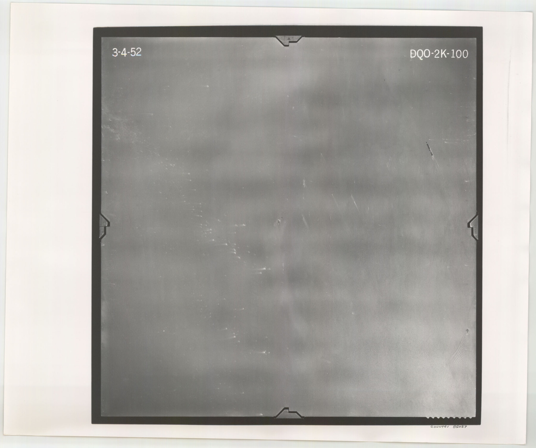
Flight Mission No. DQO-2K, Frame 100, Galveston County
DQO-2K-100
-
Map/Doc
85027
-
Collection
General Map Collection
-
Object Dates
1952/3/4 (Creation Date)
-
People and Organizations
U. S. Department of Agriculture (Publisher)
-
Counties
Galveston
-
Subjects
Aerial Photograph
-
Height x Width
18.7 x 22.4 inches
47.5 x 56.9 cm
-
Comments
Flown by Aero Exploration Company of Tulsa, Oklahoma.
Part of: General Map Collection
Matagorda Bay Including Lavaca and Tres Palacios Bays

Print $20.00
- Digital $50.00
Matagorda Bay Including Lavaca and Tres Palacios Bays
1975
Size 37.2 x 47.7 inches
Map/Doc 73364
Liberty County Sketch File 10

Print $4.00
- Digital $50.00
Liberty County Sketch File 10
1858
Size 9.5 x 8.9 inches
Map/Doc 29903
Winkler County Rolled Sketch 15

Print $20.00
- Digital $50.00
Winkler County Rolled Sketch 15
1968
Size 25.1 x 37.8 inches
Map/Doc 10305
Flight Mission No. BRA-7M, Frame 203, Jefferson County

Print $20.00
- Digital $50.00
Flight Mission No. BRA-7M, Frame 203, Jefferson County
1953
Size 18.6 x 22.3 inches
Map/Doc 85571
Coke County Rolled Sketch 25

Print $20.00
- Digital $50.00
Coke County Rolled Sketch 25
1974
Size 24.9 x 24.3 inches
Map/Doc 5525

Mills County Sketch File 11

Print $6.00
- Digital $50.00
Mills County Sketch File 11
1876
Size 10.6 x 13.0 inches
Map/Doc 31659
Shackelford County

Print $20.00
- Digital $50.00
Shackelford County
1972
Size 41.1 x 35.0 inches
Map/Doc 77420
San Jacinto County Working Sketch 39

Print $20.00
- Digital $50.00
San Jacinto County Working Sketch 39
1971
Size 41.3 x 44.2 inches
Map/Doc 63752
Coke County Sketch File A

Print $4.00
- Digital $50.00
Coke County Sketch File A
1881
Size 12.5 x 7.0 inches
Map/Doc 18590
Hardin County Working Sketch 41

Print $20.00
- Digital $50.00
Hardin County Working Sketch 41
Size 35.1 x 40.0 inches
Map/Doc 63440
Real County Working Sketch Graphic Index, Sheet 1 (Sketches 1 to 42)

Print $20.00
- Digital $50.00
Real County Working Sketch Graphic Index, Sheet 1 (Sketches 1 to 42)
1972
Size 42.9 x 31.0 inches
Map/Doc 76678
You may also like

Brazoria County NRC Article 33.136 Sketch 6

Print $22.00
- Digital $50.00
Brazoria County NRC Article 33.136 Sketch 6
2004
Size 24.6 x 35.2 inches
Map/Doc 82904
Shackelford County Sketch File 9

Print $20.00
- Digital $50.00
Shackelford County Sketch File 9
1918
Size 24.3 x 15.5 inches
Map/Doc 12315
General Highway Map. Detail of Cities and Towns in Smith County, Texas

Print $20.00
General Highway Map. Detail of Cities and Towns in Smith County, Texas
1961
Size 18.3 x 24.6 inches
Map/Doc 79655
Zavala County Sketch File 15

Print $20.00
- Digital $50.00
Zavala County Sketch File 15
Size 23.3 x 22.3 inches
Map/Doc 12729
Liberty County Sketch File 4

Print $4.00
- Digital $50.00
Liberty County Sketch File 4
1856
Size 12.2 x 7.8 inches
Map/Doc 29885
Bowles's New Pocket Map of America divided into its Provinces, Colonies, States, Governments &c. exhibiting the British and Spanish Empires therein; together with the Territories belonging to the French, Dutch, Danes & Portuguese

Print $20.00
- Digital $50.00
Bowles's New Pocket Map of America divided into its Provinces, Colonies, States, Governments &c. exhibiting the British and Spanish Empires therein; together with the Territories belonging to the French, Dutch, Danes & Portuguese
1784
Size 21.3 x 23.1 inches
Map/Doc 93838
Cochran County Boundary File 4

Print $2.00
- Digital $50.00
Cochran County Boundary File 4
Size 10.4 x 4.2 inches
Map/Doc 51555
Goliad County Sketch File 9

Print $6.00
- Digital $50.00
Goliad County Sketch File 9
1849
Size 8.1 x 10.1 inches
Map/Doc 24223
Taylor County Boundary File 1

Print $44.00
- Digital $50.00
Taylor County Boundary File 1
Size 8.4 x 8.2 inches
Map/Doc 59184
[West half of county, south of John H. Stephens Block S2]
![90976, [West half of county, south of John H. Stephens Block S2], Twichell Survey Records](https://historictexasmaps.com/wmedia_w700/maps/90976-1.tif.jpg)
Print $2.00
- Digital $50.00
[West half of county, south of John H. Stephens Block S2]
Size 11.8 x 8.7 inches
Map/Doc 90976
Brewster County Rolled Sketch 114

Print $20.00
- Digital $50.00
Brewster County Rolled Sketch 114
1964
Size 11.4 x 18.2 inches
Map/Doc 5282