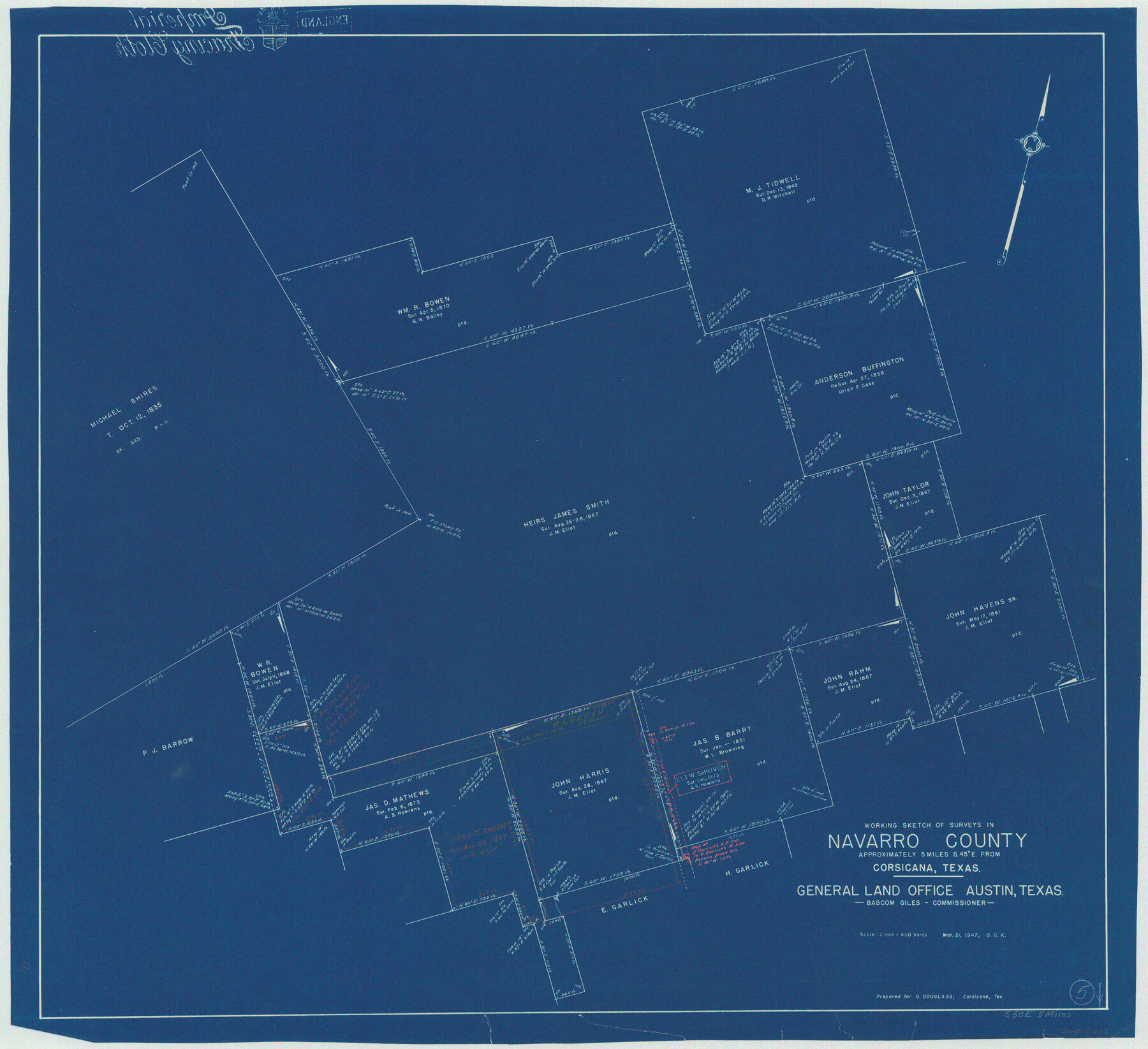
Navarro County Working Sketch 5
-
Map/Doc
71235
-
Collection
General Map Collection
-
Object Dates
3/21/1947 (Creation Date)
-
People and Organizations
Otto G. Kurio (Draftsman)
-
Counties
Navarro
-
Subjects
Surveying Working Sketch
-
Height x Width
30.3 x 33.2 inches
77.0 x 84.3 cm
-
Scale
1" = 400 varas
Part of: General Map Collection
Val Verde County Working Sketch 84

Print $20.00
- Digital $50.00
Val Verde County Working Sketch 84
1973
Size 45.4 x 33.0 inches
Map/Doc 72219
Edwards County Working Sketch 128

Print $20.00
- Digital $50.00
Edwards County Working Sketch 128
1981
Size 26.5 x 32.4 inches
Map/Doc 69004
Jeff Davis County Sketch File 12

Print $38.00
- Digital $50.00
Jeff Davis County Sketch File 12
1920
Size 14.6 x 9.1 inches
Map/Doc 27922
Flight Mission No. DIX-5P, Frame 146, Aransas County

Print $20.00
- Digital $50.00
Flight Mission No. DIX-5P, Frame 146, Aransas County
1956
Size 17.7 x 17.9 inches
Map/Doc 83808
Map of Dallas County

Print $20.00
- Digital $50.00
Map of Dallas County
1861
Size 23.5 x 20.0 inches
Map/Doc 3467
Fannin County Sketch File 17

Print $22.00
- Digital $50.00
Fannin County Sketch File 17
1874
Size 8.0 x 12.9 inches
Map/Doc 22471
Cooke County Working Sketch 39

Print $20.00
- Digital $50.00
Cooke County Working Sketch 39
2009
Size 30.5 x 36.5 inches
Map/Doc 89042
Map of Bandera County

Print $40.00
- Digital $50.00
Map of Bandera County
1885
Size 31.6 x 63.9 inches
Map/Doc 4772
Hood County Sketch File 24

Print $8.00
- Digital $50.00
Hood County Sketch File 24
1942
Size 11.0 x 9.0 inches
Map/Doc 26619
Flight Mission No. DCL-6C, Frame 68, Kenedy County

Print $20.00
- Digital $50.00
Flight Mission No. DCL-6C, Frame 68, Kenedy County
1943
Size 18.6 x 22.4 inches
Map/Doc 85910
Brewster County Working Sketch 111

Print $40.00
- Digital $50.00
Brewster County Working Sketch 111
1982
Size 21.5 x 55.9 inches
Map/Doc 67711
Howard County Rolled Sketch 8

Print $20.00
- Digital $50.00
Howard County Rolled Sketch 8
Size 16.8 x 40.2 inches
Map/Doc 6237
You may also like
Stonewall County Boundary File 4

Print $32.00
- Digital $50.00
Stonewall County Boundary File 4
Size 14.4 x 9.1 inches
Map/Doc 58977
Sutton County Sketch File 18

Print $94.00
- Digital $50.00
Sutton County Sketch File 18
1893
Size 12.9 x 8.3 inches
Map/Doc 37410
Galveston County Rolled Sketch WF

Print $20.00
- Digital $50.00
Galveston County Rolled Sketch WF
Size 25.2 x 34.1 inches
Map/Doc 5991
Bandera County Working Sketch 25

Print $20.00
- Digital $50.00
Bandera County Working Sketch 25
1950
Size 30.4 x 38.5 inches
Map/Doc 67621
Frio County Boundary File 31

Print $19.00
- Digital $50.00
Frio County Boundary File 31
Size 9.3 x 4.4 inches
Map/Doc 53609
La Salle County

Print $20.00
- Digital $50.00
La Salle County
1879
Size 27.4 x 23.6 inches
Map/Doc 3800
Culberson County Working Sketch 89

Print $20.00
- Digital $50.00
Culberson County Working Sketch 89
1984
Size 34.6 x 30.0 inches
Map/Doc 68543
Hunt County Rolled Sketch 5

Print $20.00
- Digital $50.00
Hunt County Rolled Sketch 5
1956
Size 27.5 x 24.3 inches
Map/Doc 6269
Flight Mission No. CGI-3N, Frame 49, Cameron County

Print $20.00
- Digital $50.00
Flight Mission No. CGI-3N, Frame 49, Cameron County
1954
Size 18.8 x 22.4 inches
Map/Doc 84555
Outer Continental Shelf Leasing Maps (Louisiana Offshore Operations)

Print $20.00
- Digital $50.00
Outer Continental Shelf Leasing Maps (Louisiana Offshore Operations)
1954
Size 18.2 x 16.0 inches
Map/Doc 76105
Travis County Appraisal District Plat Map 2_2105

Print $20.00
- Digital $50.00
Travis County Appraisal District Plat Map 2_2105
Size 21.6 x 26.5 inches
Map/Doc 94200
Roberts County

Print $20.00
- Digital $50.00
Roberts County
1878
Size 20.1 x 18.0 inches
Map/Doc 3991