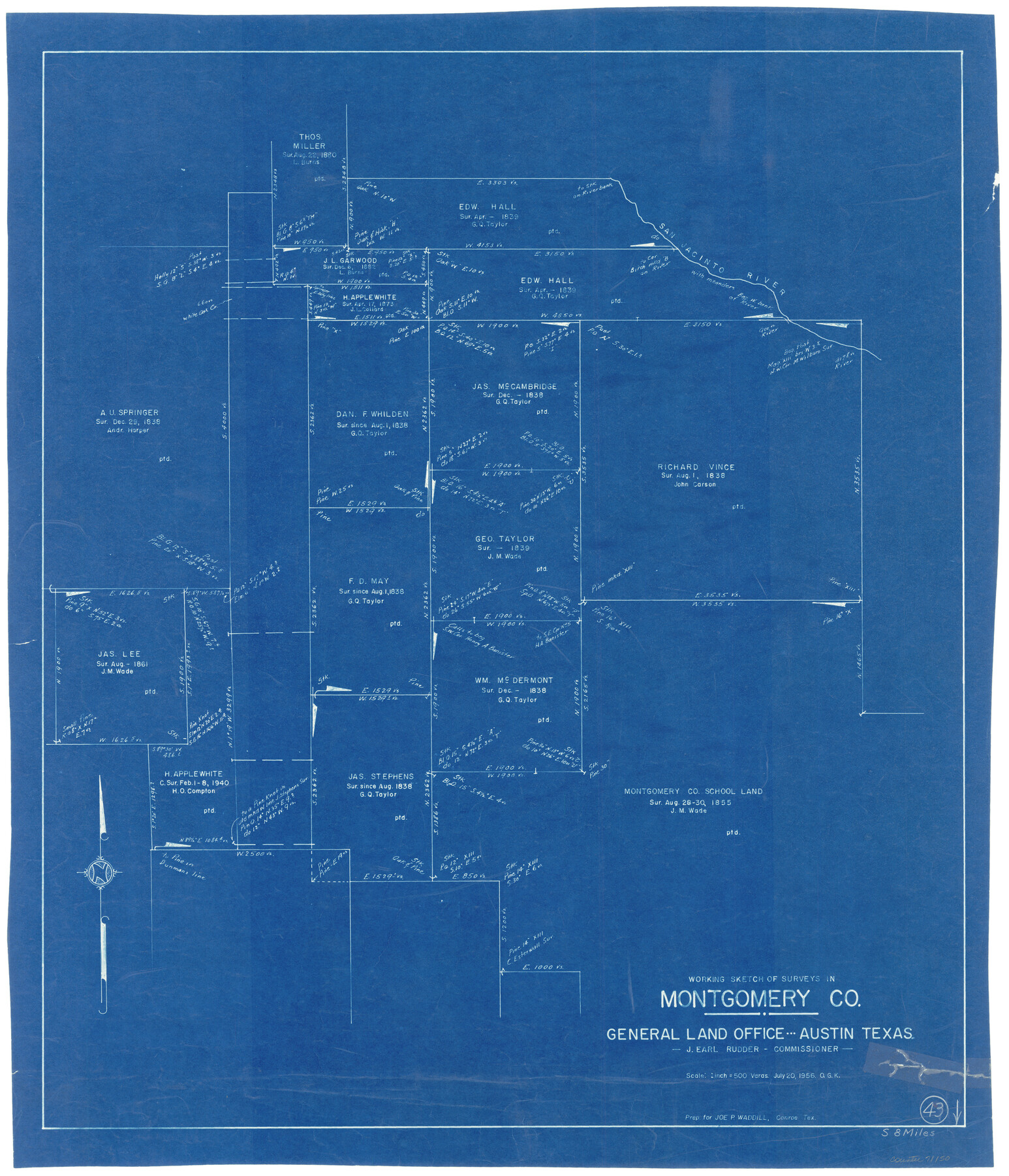
Montgomery County Working Sketch 43
-
Map/Doc
71150
-
Collection
General Map Collection
-
Object Dates
7/20/1956 (Creation Date)
-
People and Organizations
Otto G. Kurio (Draftsman)
-
Counties
Montgomery
-
Subjects
Surveying Working Sketch
-
Height x Width
29.9 x 25.9 inches
76.0 x 65.8 cm
-
Scale
1" = 500 varas
Part of: General Map Collection
Garza County Rolled Sketch 5

Print $40.00
- Digital $50.00
Garza County Rolled Sketch 5
1906
Size 37.2 x 48.0 inches
Map/Doc 9050
Tom Green County Sketch File 46 1/2

Print $40.00
- Digital $50.00
Tom Green County Sketch File 46 1/2
1882
Size 12.7 x 19.6 inches
Map/Doc 12440
Trinity County Sketch File 29

Print $20.00
- Digital $50.00
Trinity County Sketch File 29
1859
Size 18.1 x 37.1 inches
Map/Doc 12488
Leon County Sketch File 30

Print $6.00
- Digital $50.00
Leon County Sketch File 30
1951
Size 11.2 x 8.7 inches
Map/Doc 29829
San Patricio County NRC Article 33.136 Location Key Sheet

Print $20.00
- Digital $50.00
San Patricio County NRC Article 33.136 Location Key Sheet
1975
Size 27.0 x 23.0 inches
Map/Doc 87913
Flight Mission No. BQR-13K, Frame 165, Brazoria County

Print $20.00
- Digital $50.00
Flight Mission No. BQR-13K, Frame 165, Brazoria County
1952
Size 18.8 x 22.3 inches
Map/Doc 84090
Jefferson County Rolled Sketch 24

Print $20.00
- Digital $50.00
Jefferson County Rolled Sketch 24
1940
Size 30.3 x 27.8 inches
Map/Doc 6388
Maverick County Rolled Sketch 20

Print $20.00
- Digital $50.00
Maverick County Rolled Sketch 20
Size 24.5 x 38.7 inches
Map/Doc 6712
Right-of-Way and Track Map, Houston and Brazos Valley Ry. Co. operated by the Houston and Brazos Valley Ry. Co.

Print $40.00
- Digital $50.00
Right-of-Way and Track Map, Houston and Brazos Valley Ry. Co. operated by the Houston and Brazos Valley Ry. Co.
1918
Size 24.9 x 56.5 inches
Map/Doc 64607
Flight Mission No. DQO-2K, Frame 145, Galveston County

Print $20.00
- Digital $50.00
Flight Mission No. DQO-2K, Frame 145, Galveston County
1952
Size 18.8 x 22.5 inches
Map/Doc 85042
Marion County Working Sketch 17

Print $20.00
- Digital $50.00
Marion County Working Sketch 17
1955
Size 31.1 x 26.1 inches
Map/Doc 70793
Moore County Sketch File 5

Print $22.00
- Digital $50.00
Moore County Sketch File 5
Size 9.0 x 12.6 inches
Map/Doc 31937
You may also like
Edwards County Sketch File 36

Print $20.00
- Digital $50.00
Edwards County Sketch File 36
Size 18.3 x 18.7 inches
Map/Doc 11436
Coleman County Sketch File 31

Print $20.00
- Digital $50.00
Coleman County Sketch File 31
Size 31.2 x 41.9 inches
Map/Doc 10339
[Sketch for Mineral Application 19560 - 19588 - San Bernard River]
![65661, [Sketch for Mineral Application 19560 - 19588 - San Bernard River], General Map Collection](https://historictexasmaps.com/wmedia_w700/maps/65661.tif.jpg)
Print $40.00
- Digital $50.00
[Sketch for Mineral Application 19560 - 19588 - San Bernard River]
Size 32.3 x 98.5 inches
Map/Doc 65661
The Mexican Municipality of Matagorda. December 5, 1835

Print $20.00
The Mexican Municipality of Matagorda. December 5, 1835
2020
Size 15.9 x 21.7 inches
Map/Doc 96027
General Highway Map, Brewster County, Texas

Print $20.00
General Highway Map, Brewster County, Texas
1940
Size 18.5 x 25.2 inches
Map/Doc 79027
Kinney County Sketch File 37

Print $20.00
- Digital $50.00
Kinney County Sketch File 37
Size 19.0 x 23.4 inches
Map/Doc 11950
Floyd County Sketch File 7

Print $4.00
- Digital $50.00
Floyd County Sketch File 7
Size 8.9 x 14.3 inches
Map/Doc 22697
Flight Mission No. BRE-1P, Frame 148, Nueces County

Print $20.00
- Digital $50.00
Flight Mission No. BRE-1P, Frame 148, Nueces County
1956
Size 18.6 x 22.7 inches
Map/Doc 86708
Map Showing Resurvey of Capitol Leagues, Lamb, Cochran & Hockley Co's.

Print $20.00
- Digital $50.00
Map Showing Resurvey of Capitol Leagues, Lamb, Cochran & Hockley Co's.
1918
Size 37.0 x 29.3 inches
Map/Doc 1759
Hunt County Sketch File 16a

Print $4.00
- Digital $50.00
Hunt County Sketch File 16a
Size 4.6 x 8.1 inches
Map/Doc 27109
Aransas County NRC Article 33.136 Sketch 16

Print $24.00
- Digital $50.00
Aransas County NRC Article 33.136 Sketch 16
Size 24.0 x 36.0 inches
Map/Doc 95381
Culberson County Working Sketch 44

Print $40.00
- Digital $50.00
Culberson County Working Sketch 44
1970
Size 53.4 x 36.4 inches
Map/Doc 68498