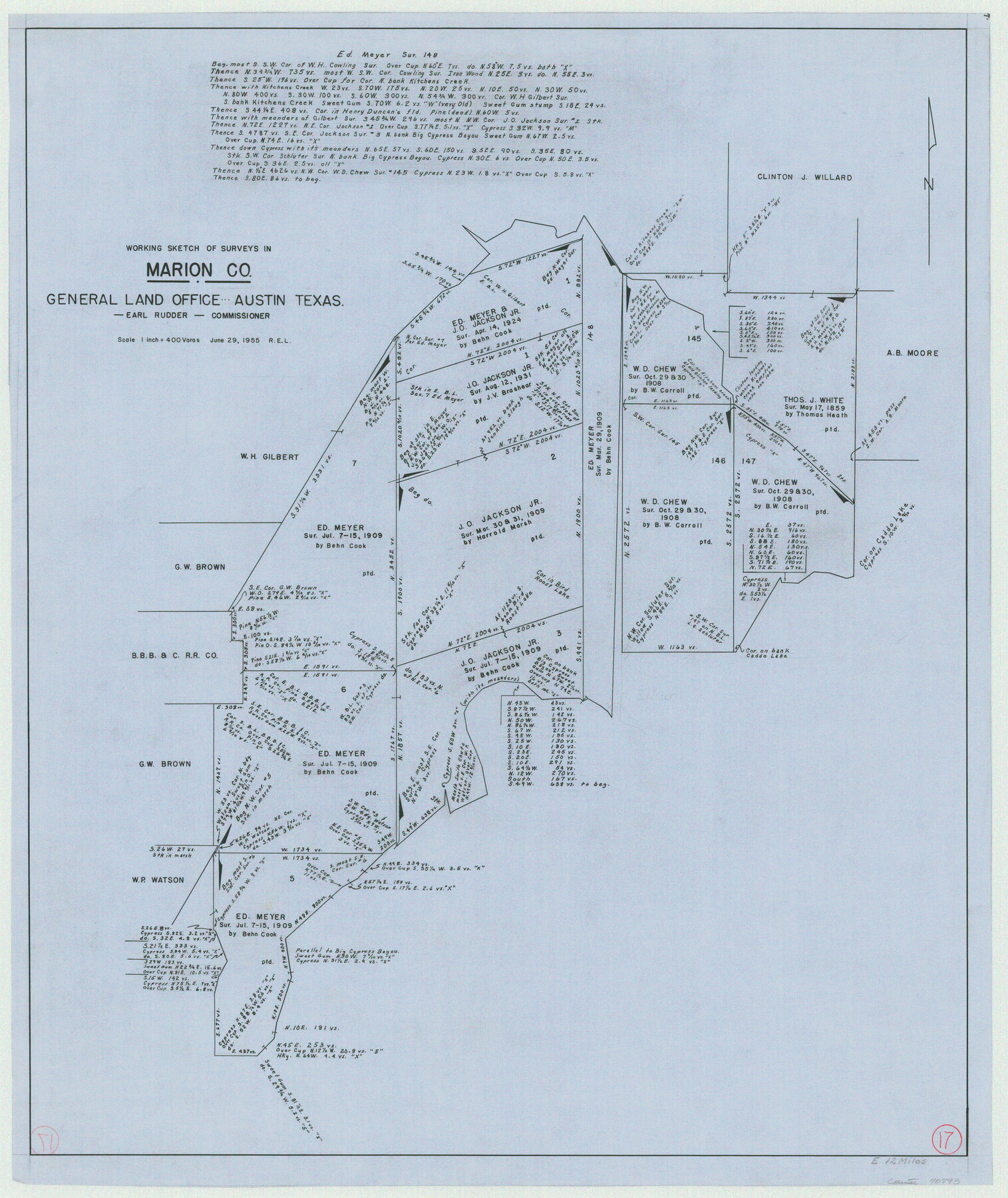
Marion County Working Sketch 17
-
Map/Doc
70793
-
Collection
General Map Collection
-
Object Dates
6/29/1955 (Creation Date)
-
Counties
Marion
-
Subjects
Surveying Working Sketch
-
Height x Width
31.1 x 26.1 inches
79.0 x 66.3 cm
-
Scale
1" = 400 varas
Part of: General Map Collection
[Cotton Belt, St. Louis Southwestern Railway of Texas, Alignment through Smith County]
![64379, [Cotton Belt, St. Louis Southwestern Railway of Texas, Alignment through Smith County], General Map Collection](https://historictexasmaps.com/wmedia_w700/maps/64379.tif.jpg)
Print $20.00
- Digital $50.00
[Cotton Belt, St. Louis Southwestern Railway of Texas, Alignment through Smith County]
1903
Size 22.6 x 30.1 inches
Map/Doc 64379
Flight Mission No. CRK-8P, Frame 107, Refugio County

Print $20.00
- Digital $50.00
Flight Mission No. CRK-8P, Frame 107, Refugio County
1956
Size 18.4 x 22.0 inches
Map/Doc 86968
Northeast Part of Webb County

Print $40.00
- Digital $50.00
Northeast Part of Webb County
1986
Size 37.7 x 50.0 inches
Map/Doc 95668
Mills County Boundary File 5

Print $8.00
- Digital $50.00
Mills County Boundary File 5
Size 14.2 x 8.7 inches
Map/Doc 57296
San Patricio County Sketch File 52

Print $14.00
- Digital $50.00
San Patricio County Sketch File 52
1917
Size 11.3 x 8.7 inches
Map/Doc 36381
Bell County, Milam District

Print $20.00
- Digital $50.00
Bell County, Milam District
1877
Size 23.5 x 28.6 inches
Map/Doc 3293
Map of Hill County

Print $40.00
- Digital $50.00
Map of Hill County
1884
Size 80.1 x 68.0 inches
Map/Doc 82049
Cameron County Rolled Sketch 32

Print $40.00
- Digital $50.00
Cameron County Rolled Sketch 32
1981
Size 136.6 x 18.1 inches
Map/Doc 8579
Flight Mission No. CUG-1P, Frame 28, Kleberg County

Print $20.00
- Digital $50.00
Flight Mission No. CUG-1P, Frame 28, Kleberg County
1956
Size 18.6 x 22.2 inches
Map/Doc 86118
Flight Mission No. BQY-4M, Frame 33, Harris County

Print $20.00
- Digital $50.00
Flight Mission No. BQY-4M, Frame 33, Harris County
1953
Size 18.7 x 22.4 inches
Map/Doc 85248
Eastland County Sketch File 12

Print $10.00
- Digital $50.00
Eastland County Sketch File 12
1879
Size 9.3 x 8.4 inches
Map/Doc 21588
East Part of Houston County

Print $40.00
- Digital $50.00
East Part of Houston County
1944
Size 49.0 x 42.1 inches
Map/Doc 77316
You may also like
Culberson County Working Sketch 79

Print $20.00
- Digital $50.00
Culberson County Working Sketch 79
1976
Size 30.9 x 30.6 inches
Map/Doc 68533
Sketch C Showing the Progress of the Survey in Section III From 1843 to 1852

Print $20.00
- Digital $50.00
Sketch C Showing the Progress of the Survey in Section III From 1843 to 1852
1852
Size 36.2 x 25.6 inches
Map/Doc 97201
Colorado County Sketch File 10

Print $48.00
- Digital $50.00
Colorado County Sketch File 10
1872
Size 9.2 x 7.9 inches
Map/Doc 18929
Township No. 5 South Range No. 16 West of the Indian Meridian

Print $4.00
- Digital $50.00
Township No. 5 South Range No. 16 West of the Indian Meridian
1875
Size 17.8 x 22.6 inches
Map/Doc 75163
Yoakum County

Print $20.00
- Digital $50.00
Yoakum County
1932
Size 40.2 x 29.6 inches
Map/Doc 77465
Boundary Between the United States & Mexico Agreed Upon by the Joint Commission under the Treaty of Guadalupe Hidalgo

Print $20.00
- Digital $50.00
Boundary Between the United States & Mexico Agreed Upon by the Joint Commission under the Treaty of Guadalupe Hidalgo
1853
Size 24.2 x 18.4 inches
Map/Doc 65397
Flight Mission No. DAG-23K, Frame 20, Matagorda County

Print $20.00
- Digital $50.00
Flight Mission No. DAG-23K, Frame 20, Matagorda County
1953
Size 18.4 x 22.2 inches
Map/Doc 86482
Right of Way and Track Map of The Missouri, Kansas & Texas Railway of Texas

Print $40.00
- Digital $50.00
Right of Way and Track Map of The Missouri, Kansas & Texas Railway of Texas
1918
Size 25.2 x 106.9 inches
Map/Doc 64531
Gregg County Sketch File 11

Print $12.00
- Digital $50.00
Gregg County Sketch File 11
1933
Size 14.4 x 8.9 inches
Map/Doc 24591
Sterling County Rolled Sketch 37

Print $20.00
- Digital $50.00
Sterling County Rolled Sketch 37
Size 25.4 x 31.8 inches
Map/Doc 7861
Flight Mission No. DQN-1K, Frame 110, Calhoun County

Print $20.00
- Digital $50.00
Flight Mission No. DQN-1K, Frame 110, Calhoun County
1953
Size 18.4 x 22.2 inches
Map/Doc 84177
Webb County Sketch File 5

Print $8.00
- Digital $50.00
Webb County Sketch File 5
1876
Size 12.8 x 8.1 inches
Map/Doc 39725