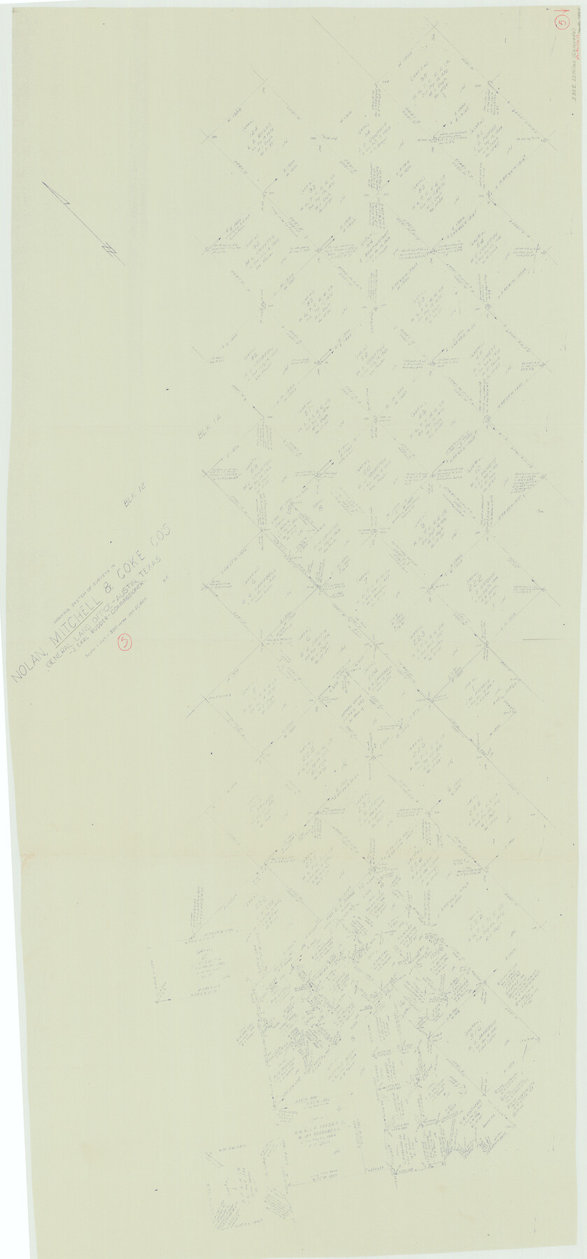
Mitchell County Working Sketch 5
-
Map/Doc
71062
-
Collection
General Map Collection
-
Object Dates
1/31/1956 (Creation Date)
-
People and Organizations
Herman Forbes (Draftsman)
-
Counties
Mitchell Nolan Coke
-
Subjects
Surveying Working Sketch
-
Height x Width
60.4 x 28.2 inches
153.4 x 71.6 cm
-
Scale
1" = 500 varas
Part of: General Map Collection
Flight Mission No. DQN-2K, Frame 41, Calhoun County

Print $20.00
- Digital $50.00
Flight Mission No. DQN-2K, Frame 41, Calhoun County
1953
Size 18.5 x 22.2 inches
Map/Doc 84246
[Map of the City of Austin]
![4802, [Map of the City of Austin], General Map Collection](https://historictexasmaps.com/wmedia_w700/maps/4802-1.tif.jpg)
Print $20.00
- Digital $50.00
[Map of the City of Austin]
1856
Size 29.1 x 21.5 inches
Map/Doc 4802
Galveston County NRC Article 33.136 Location Key Sheet

Print $20.00
- Digital $50.00
Galveston County NRC Article 33.136 Location Key Sheet
1994
Size 27.0 x 21.8 inches
Map/Doc 77016
Crockett County Working Sketch 41

Print $20.00
- Digital $50.00
Crockett County Working Sketch 41
1928
Size 20.4 x 23.2 inches
Map/Doc 68374
Eastland County Working Sketch 55

Print $20.00
- Digital $50.00
Eastland County Working Sketch 55
1984
Size 33.5 x 37.8 inches
Map/Doc 68836
Jasper County Sketch File 10

Print $4.00
- Digital $50.00
Jasper County Sketch File 10
1878
Size 9.1 x 8.6 inches
Map/Doc 27788
Taylor County Working Sketch 6

Print $20.00
- Digital $50.00
Taylor County Working Sketch 6
1951
Size 35.4 x 31.9 inches
Map/Doc 69616
Flight Mission No. BQY-4M, Frame 59, Harris County

Print $20.00
- Digital $50.00
Flight Mission No. BQY-4M, Frame 59, Harris County
1953
Size 18.5 x 22.3 inches
Map/Doc 85268
Kenedy County Working Sketch 2a

Print $20.00
- Digital $50.00
Kenedy County Working Sketch 2a
1907
Size 22.2 x 20.9 inches
Map/Doc 70003
Jefferson County Working Sketch 38

Print $20.00
- Digital $50.00
Jefferson County Working Sketch 38
1984
Size 32.6 x 43.2 inches
Map/Doc 66582
Pecos County Sketch File 71

Print $8.00
- Digital $50.00
Pecos County Sketch File 71
1936
Size 11.2 x 8.7 inches
Map/Doc 33872
Histoire de la Louisiane et de la Cession de Cette Colonie par la France aux États-Unis de l'Amérique Septentrionale

Histoire de la Louisiane et de la Cession de Cette Colonie par la France aux États-Unis de l'Amérique Septentrionale
1829
Map/Doc 97259
You may also like
[Townships 1, 2, 3, Blocks, 62, 61, 60, 59, 58, 57, 56]
![92884, [Townships 1, 2, 3, Blocks, 62, 61, 60, 59, 58, 57, 56], Twichell Survey Records](https://historictexasmaps.com/wmedia_w700/maps/92884-1.tif.jpg)
Print $20.00
- Digital $50.00
[Townships 1, 2, 3, Blocks, 62, 61, 60, 59, 58, 57, 56]
1885
Size 19.1 x 10.3 inches
Map/Doc 92884
Intracoastal Waterway in Texas - Corpus Christi to Point Isabel including Arroyo Colorado to Mo. Pac. R.R. Bridge Near Harlingen

Print $20.00
- Digital $50.00
Intracoastal Waterway in Texas - Corpus Christi to Point Isabel including Arroyo Colorado to Mo. Pac. R.R. Bridge Near Harlingen
1933
Size 27.7 x 40.9 inches
Map/Doc 61859
[Surveys along Gilleland and Wilbarger Creek in the Travis District]
![111, [Surveys along Gilleland and Wilbarger Creek in the Travis District], General Map Collection](https://historictexasmaps.com/wmedia_w700/maps/111.tif.jpg)
Print $2.00
- Digital $50.00
[Surveys along Gilleland and Wilbarger Creek in the Travis District]
1841
Size 8.1 x 11.2 inches
Map/Doc 111
Brewster County Rolled Sketch 110

Print $20.00
- Digital $50.00
Brewster County Rolled Sketch 110
1961
Size 19.7 x 37.7 inches
Map/Doc 5262
Howard County Working Sketch 1

Print $20.00
- Digital $50.00
Howard County Working Sketch 1
1941
Size 19.7 x 25.1 inches
Map/Doc 66267
Flight Mission No. BRA-7M, Frame 17, Jefferson County

Print $20.00
- Digital $50.00
Flight Mission No. BRA-7M, Frame 17, Jefferson County
1953
Size 18.6 x 22.4 inches
Map/Doc 85468
Flight Mission No. CLL-1N, Frame 20, Willacy County

Print $20.00
- Digital $50.00
Flight Mission No. CLL-1N, Frame 20, Willacy County
1954
Size 18.4 x 22.1 inches
Map/Doc 87007
Sterling County Working Sketch 9

Print $20.00
- Digital $50.00
Sterling County Working Sketch 9
1980
Size 30.3 x 41.1 inches
Map/Doc 63991
Andrews County Working Sketch 13

Print $20.00
- Digital $50.00
Andrews County Working Sketch 13
1956
Size 37.3 x 30.6 inches
Map/Doc 67059
Matagorda County Working Sketch Graphic Index, Sheet 2 (Sketches 17 to Most Recent)

Print $40.00
- Digital $50.00
Matagorda County Working Sketch Graphic Index, Sheet 2 (Sketches 17 to Most Recent)
1920
Size 40.1 x 48.6 inches
Map/Doc 76634
Map of Harris County

Print $40.00
- Digital $50.00
Map of Harris County
1897
Size 48.4 x 66.9 inches
Map/Doc 82068
Rains County Boundary File 71

Print $6.00
- Digital $50.00
Rains County Boundary File 71
Size 8.7 x 3.5 inches
Map/Doc 58094