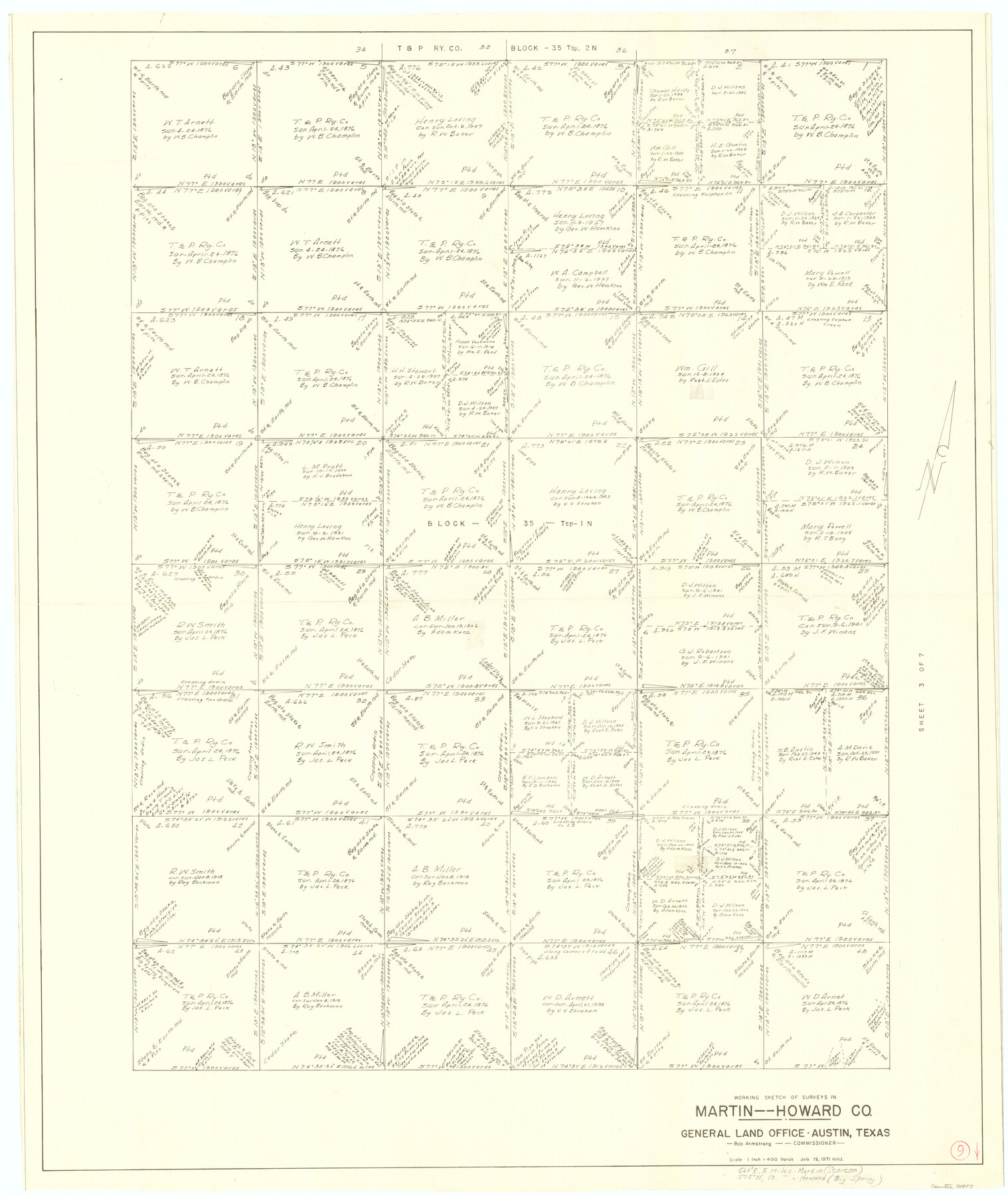
Martin County Working Sketch 9
-
Map/Doc
70827
-
Collection
General Map Collection
-
Object Dates
7/19/1971 (Creation Date)
-
People and Organizations
Herbert H. Ulbricht (Draftsman)
-
Counties
Martin Howard
-
Subjects
Surveying Working Sketch
-
Height x Width
45.2 x 38.1 inches
114.8 x 96.8 cm
-
Scale
1" = 400 varas
Part of: General Map Collection
Flight Mission No. DAG-23K, Frame 16, Matagorda County

Print $20.00
- Digital $50.00
Flight Mission No. DAG-23K, Frame 16, Matagorda County
1953
Size 18.5 x 22.2 inches
Map/Doc 86478
Flight Mission No. DQN-1K, Frame 34, Calhoun County

Print $20.00
- Digital $50.00
Flight Mission No. DQN-1K, Frame 34, Calhoun County
1953
Size 18.5 x 22.2 inches
Map/Doc 84139
Harris County Sketch File 80a

Print $20.00
- Digital $50.00
Harris County Sketch File 80a
1892
Size 27.8 x 17.6 inches
Map/Doc 11667
Wheeler County Sketch File 1

Print $20.00
- Digital $50.00
Wheeler County Sketch File 1
Size 17.1 x 26.8 inches
Map/Doc 12672
Midland County Working Sketch 27

Print $20.00
- Digital $50.00
Midland County Working Sketch 27
1963
Size 41.6 x 38.9 inches
Map/Doc 71008
San Patricio County Rolled Sketch 7B

Print $20.00
- Digital $50.00
San Patricio County Rolled Sketch 7B
1870
Size 42.3 x 29.1 inches
Map/Doc 7573
Hudspeth County Working Sketch 26

Print $40.00
- Digital $50.00
Hudspeth County Working Sketch 26
1972
Size 31.5 x 54.0 inches
Map/Doc 66308
Flight Mission No. CUG-2P, Frame 85, Kleberg County

Print $20.00
- Digital $50.00
Flight Mission No. CUG-2P, Frame 85, Kleberg County
1956
Size 18.5 x 22.2 inches
Map/Doc 86217
Falls of St. Anthony

Print $2.00
- Digital $50.00
Falls of St. Anthony
1810
Size 6.2 x 8.8 inches
Map/Doc 95152
Cherokee County Sketch File 31b

Print $6.00
- Digital $50.00
Cherokee County Sketch File 31b
1934
Size 14.2 x 8.9 inches
Map/Doc 18187
Val Verde County Working Sketch 10

Print $20.00
- Digital $50.00
Val Verde County Working Sketch 10
1920
Size 31.7 x 21.2 inches
Map/Doc 72145
Map of Eagle Lake

Print $20.00
- Digital $50.00
Map of Eagle Lake
1938
Size 13.0 x 17.0 inches
Map/Doc 2208
You may also like
Mason County Rolled Sketch 1

Print $20.00
- Digital $50.00
Mason County Rolled Sketch 1
1940
Size 21.2 x 24.9 inches
Map/Doc 6674

Intracoastal Waterway, Houma, LA to Corpus Christi, TX

Print $20.00
- Digital $50.00
Intracoastal Waterway, Houma, LA to Corpus Christi, TX
Size 18.9 x 27.9 inches
Map/Doc 61906
Uvalde County Working Sketch 33

Print $20.00
- Digital $50.00
Uvalde County Working Sketch 33
1963
Size 24.5 x 39.2 inches
Map/Doc 72103
Map of east part of West Bay & SW part of Galveston Bay, Galveston County showing subdivision for mineral development

Print $20.00
- Digital $50.00
Map of east part of West Bay & SW part of Galveston Bay, Galveston County showing subdivision for mineral development
1951
Size 32.6 x 37.6 inches
Map/Doc 2975
General Highway Map, Wilbarger County, Texas

Print $20.00
General Highway Map, Wilbarger County, Texas
1940
Size 24.7 x 18.1 inches
Map/Doc 79278
Hood County Sketch File 12

Print $35.00
- Digital $50.00
Hood County Sketch File 12
Size 9.0 x 9.7 inches
Map/Doc 26590
Cass County Working Sketch 40

Print $20.00
- Digital $50.00
Cass County Working Sketch 40
1984
Size 24.6 x 24.5 inches
Map/Doc 67943
Hansford County

Print $20.00
- Digital $50.00
Hansford County
1889
Size 22.9 x 18.5 inches
Map/Doc 3624
Parker County Boundary File 2

Print $8.00
- Digital $50.00
Parker County Boundary File 2
Size 11.2 x 8.8 inches
Map/Doc 57835
Briscoe County Boundary File 1

Print $90.00
- Digital $50.00
Briscoe County Boundary File 1
Size 8.6 x 6.8 inches
Map/Doc 50758
Liberty County Working Sketch 86

Print $20.00
- Digital $50.00
Liberty County Working Sketch 86
1986
Size 30.7 x 34.7 inches
Map/Doc 70546