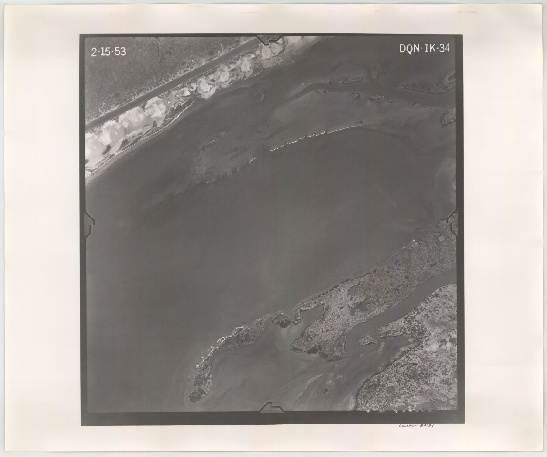
Flight Mission No. DQN-1K, Frame 34, Calhoun County
DQN-1K-34
-
Map/Doc
84139
-
Collection
General Map Collection
-
Object Dates
1953/2/15 (Creation Date)
-
People and Organizations
U. S. Department of Agriculture (Publisher)
-
Counties
Calhoun
-
Subjects
Aerial Photograph
-
Height x Width
18.5 x 22.2 inches
47.0 x 56.4 cm
-
Comments
Flown by Aero Exploration Company of Tulsa, Oklahoma.
Part of: General Map Collection
Flight Mission No. CRC-3R, Frame 210, Chambers County

Print $20.00
- Digital $50.00
Flight Mission No. CRC-3R, Frame 210, Chambers County
1956
Size 18.6 x 22.3 inches
Map/Doc 84865
Overlay For BRE-1P, Frame 153 of Refugio Scrip 1930, Nueces County

Print $20.00
- Digital $50.00
Overlay For BRE-1P, Frame 153 of Refugio Scrip 1930, Nueces County
1956
Size 18.8 x 22.6 inches
Map/Doc 86713
Runnels County Sketch File 5a

Print $40.00
Runnels County Sketch File 5a
1883
Size 8.9 x 22.0 inches
Map/Doc 35438
Old Miscellaneous File 17

Print $24.00
- Digital $50.00
Old Miscellaneous File 17
1908
Size 14.2 x 8.6 inches
Map/Doc 75485
Grimes County Working Sketch 15

Print $20.00
- Digital $50.00
Grimes County Working Sketch 15
1988
Size 42.4 x 42.4 inches
Map/Doc 63306
Flight Mission No. BRE-1P, Frame 35, Nueces County

Print $20.00
- Digital $50.00
Flight Mission No. BRE-1P, Frame 35, Nueces County
1956
Size 18.4 x 22.2 inches
Map/Doc 86631
University Lands Hudspeth County, Texas, Blocks A to N

Print $40.00
- Digital $50.00
University Lands Hudspeth County, Texas, Blocks A to N
1935
Size 38.6 x 55.4 inches
Map/Doc 2447
Chambers County Sketch File 14

Print $8.00
- Digital $50.00
Chambers County Sketch File 14
1862
Size 4.3 x 5.1 inches
Map/Doc 17560
[Sketch for Mineral Application 27669 - Trinity River, Frank R. Graves]
![2858, [Sketch for Mineral Application 27669 - Trinity River, Frank R. Graves], General Map Collection](https://historictexasmaps.com/wmedia_w700/maps/2858-1.tif.jpg)
Print $40.00
- Digital $50.00
[Sketch for Mineral Application 27669 - Trinity River, Frank R. Graves]
1934
Size 28.3 x 83.2 inches
Map/Doc 2858
Flight Mission No. CGI-3N, Frame 73, Cameron County

Print $20.00
- Digital $50.00
Flight Mission No. CGI-3N, Frame 73, Cameron County
1954
Size 18.4 x 22.4 inches
Map/Doc 84567
Briscoe County

Print $20.00
- Digital $50.00
Briscoe County
1930
Size 42.0 x 35.8 inches
Map/Doc 73090
Glasscock County

Print $20.00
- Digital $50.00
Glasscock County
1933
Size 41.1 x 34.7 inches
Map/Doc 77290
You may also like
Crockett County Sketch File 51

Print $16.00
- Digital $50.00
Crockett County Sketch File 51
Size 10.1 x 9.1 inches
Map/Doc 19799
Reeves County Rolled Sketch 6

Print $20.00
- Digital $50.00
Reeves County Rolled Sketch 6
Size 22.6 x 29.0 inches
Map/Doc 7478
Edwards County Sketch File 30

Print $10.00
- Digital $50.00
Edwards County Sketch File 30
1920
Size 6.5 x 8.9 inches
Map/Doc 21757
[Guadalupe, San Miguel, and other Counties, N.M.]
![89818, [Guadalupe, San Miguel, and other Counties, N.M.], Twichell Survey Records](https://historictexasmaps.com/wmedia_w700/maps/89818-1.tif.jpg)
Print $40.00
- Digital $50.00
[Guadalupe, San Miguel, and other Counties, N.M.]
Size 39.6 x 57.1 inches
Map/Doc 89818
Coleman County Sketch File 16

Print $4.00
- Digital $50.00
Coleman County Sketch File 16
1849
Size 9.6 x 8.3 inches
Map/Doc 18683
Flight Mission No. DCL-7C, Frame 39, Kenedy County

Print $20.00
- Digital $50.00
Flight Mission No. DCL-7C, Frame 39, Kenedy County
1943
Size 15.3 x 15.3 inches
Map/Doc 86027
Map of Bexar County

Print $20.00
- Digital $50.00
Map of Bexar County
1878
Size 23.5 x 26.6 inches
Map/Doc 3299
San Saba County Working Sketch 5

Print $20.00
- Digital $50.00
San Saba County Working Sketch 5
1945
Size 30.5 x 22.9 inches
Map/Doc 63793
Photo Index of Texas Coast - Sheet 5 of 6

Print $20.00
- Digital $50.00
Photo Index of Texas Coast - Sheet 5 of 6
1954
Size 20.0 x 24.0 inches
Map/Doc 83443

Culberson County Working Sketch 27

Print $40.00
- Digital $50.00
Culberson County Working Sketch 27
1952
Size 22.2 x 53.4 inches
Map/Doc 68480
Haskell County Working Sketch 9

Print $20.00
- Digital $50.00
Haskell County Working Sketch 9
1959
Size 23.5 x 26.0 inches
Map/Doc 66067