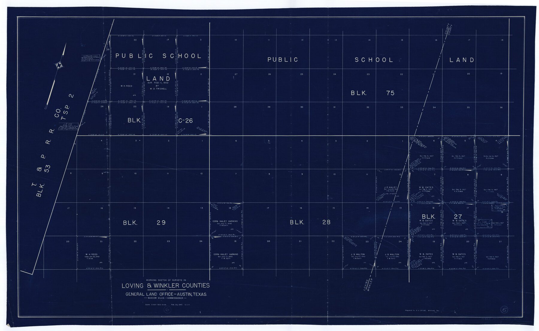
Loving County Working Sketch 6
-
Map/Doc
70638
-
Collection
General Map Collection
-
Object Dates
2/20/1947 (Creation Date)
-
People and Organizations
Otto G. Kurio (Draftsman)
-
Counties
Loving Winkler
-
Subjects
Surveying Working Sketch
-
Height x Width
31.3 x 51.0 inches
79.5 x 129.5 cm
-
Scale
1" = 600 varas
Part of: General Map Collection
Falls County Sketch File 18

Print $4.00
- Digital $50.00
Falls County Sketch File 18
Size 10.3 x 8.2 inches
Map/Doc 22380
Runnels County Working Sketch 31

Print $20.00
- Digital $50.00
Runnels County Working Sketch 31
1959
Size 28.3 x 31.3 inches
Map/Doc 63629
Presidio County Working Sketch 11

Print $20.00
- Digital $50.00
Presidio County Working Sketch 11
1941
Size 29.2 x 25.8 inches
Map/Doc 71686
Maps of Gulf Intracoastal Waterway, Texas - Sabine River to the Rio Grande and connecting waterways including ship channels

Print $20.00
- Digital $50.00
Maps of Gulf Intracoastal Waterway, Texas - Sabine River to the Rio Grande and connecting waterways including ship channels
1966
Size 14.6 x 22.2 inches
Map/Doc 61945
Flight Mission No. CRC-1R, Frame 157, Chambers County

Print $20.00
- Digital $50.00
Flight Mission No. CRC-1R, Frame 157, Chambers County
1956
Size 18.8 x 22.5 inches
Map/Doc 84719
Culberson County Working Sketch 69

Print $40.00
- Digital $50.00
Culberson County Working Sketch 69
1975
Size 49.4 x 32.2 inches
Map/Doc 68523
Port Mansfield

Print $20.00
- Digital $50.00
Port Mansfield
1968
Size 37.1 x 44.2 inches
Map/Doc 3043
Kinney County Sketch File 34

Print $8.00
- Digital $50.00
Kinney County Sketch File 34
1941
Size 14.2 x 8.8 inches
Map/Doc 29181
Travis County

Print $40.00
- Digital $50.00
Travis County
1936
Size 46.4 x 54.8 inches
Map/Doc 63076
[Surveys near the city of Bastrop]
![107, [Surveys near the city of Bastrop], General Map Collection](https://historictexasmaps.com/wmedia_w700/maps/107.tif.jpg)
Print $2.00
- Digital $50.00
[Surveys near the city of Bastrop]
1841
Size 6.5 x 7.0 inches
Map/Doc 107
Crockett County Working Sketch 98

Print $20.00
- Digital $50.00
Crockett County Working Sketch 98
1980
Size 42.8 x 35.9 inches
Map/Doc 68431
The State of Texas vs. Chas. J. Canda, et al, T. & P. Ry. Co., No. 10351

Print $522.00
- Digital $50.00
The State of Texas vs. Chas. J. Canda, et al, T. & P. Ry. Co., No. 10351
1893
Size 10.0 x 17.0 inches
Map/Doc 3048
You may also like
Denton County Sketch File 34

Print $4.00
- Digital $50.00
Denton County Sketch File 34
1880
Size 8.9 x 5.4 inches
Map/Doc 20764

[Map of the Fort Worth & Denver City Railway]
![64432, [Map of the Fort Worth & Denver City Railway], General Map Collection](https://historictexasmaps.com/wmedia_w700/maps/64432.tif.jpg)
Print $40.00
- Digital $50.00
[Map of the Fort Worth & Denver City Railway]
1887
Size 21.3 x 122.7 inches
Map/Doc 64432
Angelina County Sketch File 12

Print $4.00
- Digital $50.00
Angelina County Sketch File 12
1860
Size 14.1 x 8.1 inches
Map/Doc 12955
Calhoun County Aerial Photograph Index Sheet 6

Print $20.00
- Digital $50.00
Calhoun County Aerial Photograph Index Sheet 6
1953
Size 24.0 x 19.3 inches
Map/Doc 83674
Wilbarger County Rolled Sketch 6

Print $20.00
- Digital $50.00
Wilbarger County Rolled Sketch 6
1885
Size 20.3 x 28.0 inches
Map/Doc 8256
Crockett County Working Sketch Graphic Index - south part

Print $40.00
- Digital $50.00
Crockett County Working Sketch Graphic Index - south part
1977
Size 38.2 x 50.0 inches
Map/Doc 76512
Uvalde County Sketch File 18

Print $6.00
- Digital $50.00
Uvalde County Sketch File 18
1883
Size 10.9 x 8.2 inches
Map/Doc 38997
Wharton County Working Sketch 25

Print $20.00
- Digital $50.00
Wharton County Working Sketch 25
1993
Size 20.0 x 25.5 inches
Map/Doc 72489
Flight Mission No. DAG-21K, Frame 93, Matagorda County

Print $20.00
- Digital $50.00
Flight Mission No. DAG-21K, Frame 93, Matagorda County
1952
Size 18.6 x 22.2 inches
Map/Doc 86422
[Cotton Belt] St. Louis Arkansas & Texas R'y, Lufkin Branch, Formely the Kansas & Gulf Short Line
![64371, [Cotton Belt] St. Louis Arkansas & Texas R'y, Lufkin Branch, Formely the Kansas & Gulf Short Line, General Map Collection](https://historictexasmaps.com/wmedia_w700/maps/64371.tif.jpg)
Print $20.00
- Digital $50.00
[Cotton Belt] St. Louis Arkansas & Texas R'y, Lufkin Branch, Formely the Kansas & Gulf Short Line
1888
Size 11.2 x 39.5 inches
Map/Doc 64371
General Highway Map, Kendall County, Texas

Print $20.00
General Highway Map, Kendall County, Texas
1961
Size 18.3 x 24.6 inches
Map/Doc 79549