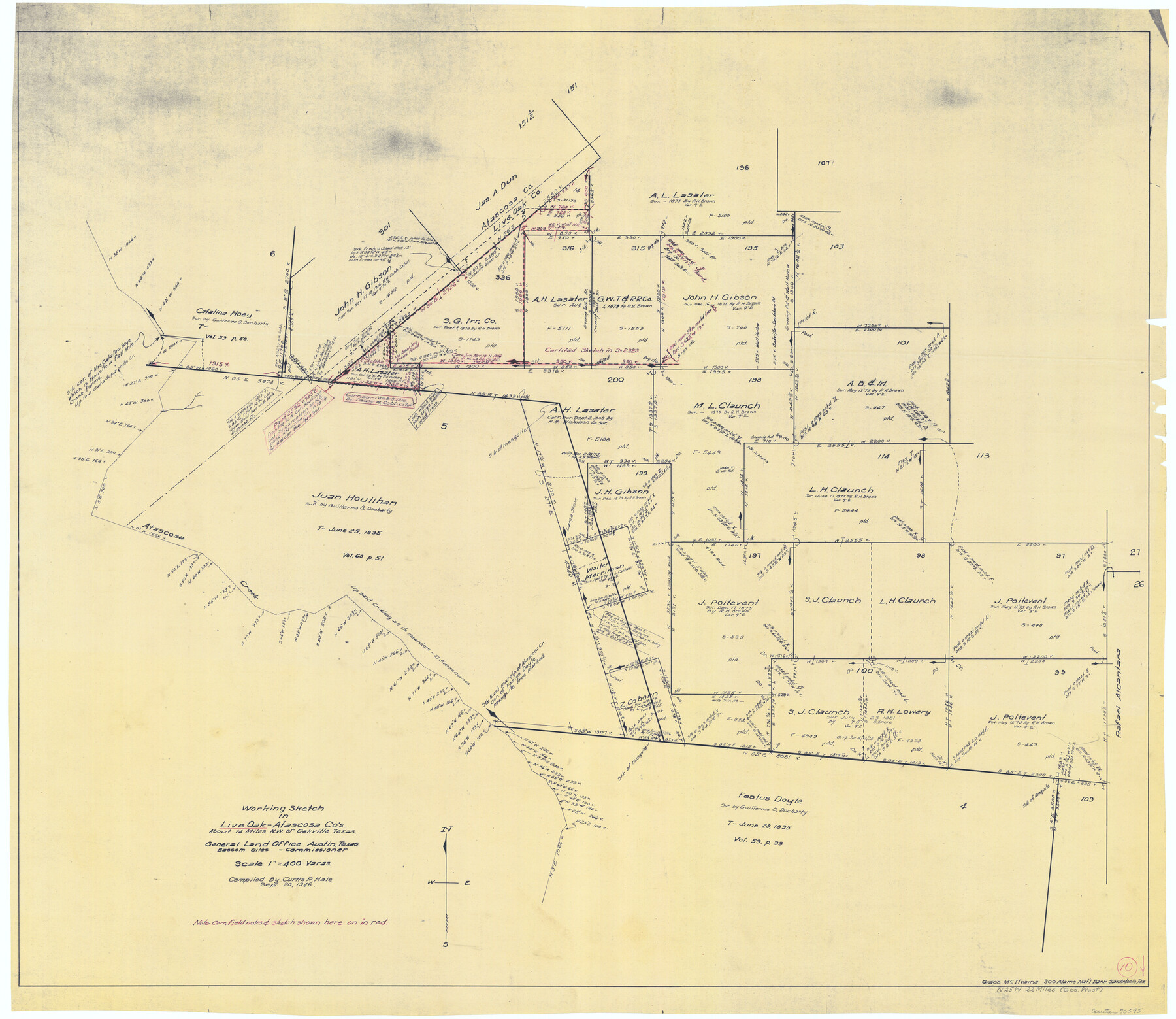
Live Oak County Working Sketch 10
-
Map/Doc
70595
-
Collection
General Map Collection
-
Object Dates
9/20/1946 (Creation Date)
-
People and Organizations
Curtis R. Hale (Draftsman)
-
Counties
Live Oak Atascosa
-
Subjects
Surveying Working Sketch
-
Height x Width
36.2 x 41.8 inches
92.0 x 106.2 cm
-
Scale
1" = 400 varas
Part of: General Map Collection
Uvalde County Rolled Sketch 15

Print $20.00
- Digital $50.00
Uvalde County Rolled Sketch 15
1979
Size 26.9 x 23.9 inches
Map/Doc 8099

El Paso County Rolled Sketch 53

Print $105.00
- Digital $50.00
El Paso County Rolled Sketch 53
1930
Size 10.1 x 15.3 inches
Map/Doc 44486
Ward County Rolled Sketch 7

Print $40.00
- Digital $50.00
Ward County Rolled Sketch 7
1907
Size 33.9 x 91.0 inches
Map/Doc 10103
Zapata County Sketch File 8

Print $40.00
- Digital $50.00
Zapata County Sketch File 8
1917
Size 59.5 x 26.5 inches
Map/Doc 10438
Travis County Rolled Sketch 45

Print $20.00
- Digital $50.00
Travis County Rolled Sketch 45
Size 19.1 x 25.0 inches
Map/Doc 8042
Map of Taylor County Travis- Young- Bexar- Land District

Print $20.00
- Digital $50.00
Map of Taylor County Travis- Young- Bexar- Land District
1859
Size 25.1 x 20.4 inches
Map/Doc 4071
Tourist Map of San Antonio showing points of interest, places of amusements, main thoroughfares and highways in and out of city and where they go

Print $20.00
- Digital $50.00
Tourist Map of San Antonio showing points of interest, places of amusements, main thoroughfares and highways in and out of city and where they go
Size 22.2 x 15.3 inches
Map/Doc 95956
Dawson County Working Sketch 15

Print $20.00
- Digital $50.00
Dawson County Working Sketch 15
1955
Size 28.2 x 24.8 inches
Map/Doc 68559
Brazoria County NRC Article 33.136 Sketch 34

Print $24.00
Brazoria County NRC Article 33.136 Sketch 34
2025
Map/Doc 97478
Montgomery County Sketch File 8

Print $4.00
- Digital $50.00
Montgomery County Sketch File 8
1862
Size 12.2 x 8.2 inches
Map/Doc 31793
United States Bathymetric and Fishing Maps including Topographic/Bathymetric Maps

Print $40.00
- Digital $50.00
United States Bathymetric and Fishing Maps including Topographic/Bathymetric Maps
1989
Size 20.4 x 54.4 inches
Map/Doc 73557
You may also like
Flight Mission No. DIX-7P, Frame 21, Aransas County

Print $20.00
- Digital $50.00
Flight Mission No. DIX-7P, Frame 21, Aransas County
1956
Size 18.8 x 22.6 inches
Map/Doc 83873
Brewster County Rolled Sketch 61

Print $40.00
- Digital $50.00
Brewster County Rolled Sketch 61
1939
Size 43.7 x 70.3 inches
Map/Doc 8486
Hunt County Sketch File 2

Print $4.00
- Digital $50.00
Hunt County Sketch File 2
1857
Size 10.1 x 7.8 inches
Map/Doc 27083
Map of Wood County

Print $20.00
- Digital $50.00
Map of Wood County
1877
Size 16.8 x 17.1 inches
Map/Doc 4168
Marion County Working Sketch 9

Print $20.00
- Digital $50.00
Marion County Working Sketch 9
1940
Size 23.5 x 25.5 inches
Map/Doc 70784
Pecos County Rolled Sketch 169

Print $40.00
- Digital $50.00
Pecos County Rolled Sketch 169
1927
Size 63.8 x 30.0 inches
Map/Doc 9749
Limestone County Sketch File 1

Print $4.00
- Digital $50.00
Limestone County Sketch File 1
Size 9.8 x 8.1 inches
Map/Doc 30155
Pecos County Sketch File 24

Print $22.00
- Digital $50.00
Pecos County Sketch File 24
Size 7.6 x 5.6 inches
Map/Doc 33680
Harris County Historic Topographic 12

Print $20.00
- Digital $50.00
Harris County Historic Topographic 12
1915
Size 19.5 x 23.5 inches
Map/Doc 65822
Flight Mission No. DAG-26K, Frame 59, Matagorda County

Print $20.00
- Digital $50.00
Flight Mission No. DAG-26K, Frame 59, Matagorda County
1953
Size 18.5 x 22.3 inches
Map/Doc 86579
Grimes County Working Sketch 11

Print $20.00
- Digital $50.00
Grimes County Working Sketch 11
1981
Size 22.7 x 22.6 inches
Map/Doc 63302
Hardeman County Sketch File 31

Print $4.00
- Digital $50.00
Hardeman County Sketch File 31
Size 14.5 x 9.0 inches
Map/Doc 25066