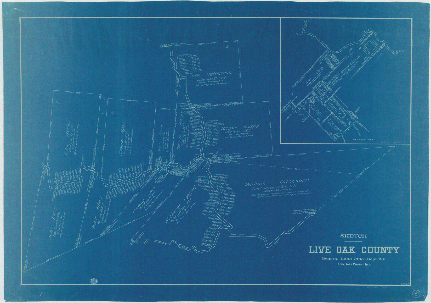
Live Oak County Working Sketch 5
-
Map/Doc
70590
-
Collection
General Map Collection
-
Object Dates
9/1911 (Creation Date)
-
People and Organizations
L. Ehlinger (Draftsman)
-
Counties
Live Oak
-
Subjects
Surveying Working Sketch
-
Height x Width
25.1 x 35.6 inches
63.8 x 90.4 cm
-
Scale
1" = 1000 varas
Part of: General Map Collection
Flight Mission No. DQN-2K, Frame 79, Calhoun County

Print $20.00
- Digital $50.00
Flight Mission No. DQN-2K, Frame 79, Calhoun County
1953
Size 16.0 x 16.0 inches
Map/Doc 84271
Flight Mission No. BRE-2P, Frame 104, Nueces County

Print $20.00
- Digital $50.00
Flight Mission No. BRE-2P, Frame 104, Nueces County
1956
Size 18.5 x 22.5 inches
Map/Doc 86789
Kimble County Boundary File 1

Print $4.00
- Digital $50.00
Kimble County Boundary File 1
Size 14.1 x 8.8 inches
Map/Doc 64831
Falls County Sketch File 16

Print $8.00
- Digital $50.00
Falls County Sketch File 16
Size 13.3 x 8.5 inches
Map/Doc 22374
Crockett County Working Sketch 64

Print $20.00
- Digital $50.00
Crockett County Working Sketch 64
1957
Size 19.0 x 25.4 inches
Map/Doc 68397
Kaufman County Boundary File 1a

Print $8.00
- Digital $50.00
Kaufman County Boundary File 1a
Size 14.1 x 8.6 inches
Map/Doc 55907
Harris County Historic Topographic 11

Print $20.00
- Digital $50.00
Harris County Historic Topographic 11
1915
Size 29.2 x 22.6 inches
Map/Doc 65821
Cameron County Rolled Sketch 22

Print $63.00
- Digital $50.00
Cameron County Rolled Sketch 22
Size 9.8 x 15.0 inches
Map/Doc 43919
Northwest Section of Ramsey State Farm

Print $20.00
- Digital $50.00
Northwest Section of Ramsey State Farm
Size 12.6 x 17.2 inches
Map/Doc 94281
Webb County Rolled Sketch 40

Print $20.00
- Digital $50.00
Webb County Rolled Sketch 40
1941
Size 20.6 x 18.4 inches
Map/Doc 8195
Flight Mission No. BRA-7M, Frame 86, Jefferson County

Print $20.00
- Digital $50.00
Flight Mission No. BRA-7M, Frame 86, Jefferson County
1953
Size 18.7 x 22.4 inches
Map/Doc 85508
Llano County Sketch File 9

Print $42.00
- Digital $50.00
Llano County Sketch File 9
Size 8.6 x 13.1 inches
Map/Doc 30369
You may also like
Terrell County Working Sketch 10

Print $20.00
- Digital $50.00
Terrell County Working Sketch 10
1924
Size 28.0 x 25.9 inches
Map/Doc 62159
La Salle County Sketch File 7

Print $22.00
- Digital $50.00
La Salle County Sketch File 7
Size 8.0 x 12.3 inches
Map/Doc 29456
Working Sketch in Crosby, Garza, Lynn, and Lubbock Counties

Print $20.00
- Digital $50.00
Working Sketch in Crosby, Garza, Lynn, and Lubbock Counties
1904
Size 33.7 x 35.6 inches
Map/Doc 92546
Harris County NRC Article 33.136 Sketch 17

Print $26.00
- Digital $50.00
Harris County NRC Article 33.136 Sketch 17
2011
Size 22.0 x 17.0 inches
Map/Doc 94758
Outlots Lying Adjacent to Smyer Hockley County, Texas Located on Parts of Labors 7, 8, 13, and 14, League 1. Jones County School Land

Print $20.00
- Digital $50.00
Outlots Lying Adjacent to Smyer Hockley County, Texas Located on Parts of Labors 7, 8, 13, and 14, League 1. Jones County School Land
Size 32.6 x 20.4 inches
Map/Doc 92224
San Patricio County Sketch File 37

Print $94.00
- Digital $50.00
San Patricio County Sketch File 37
1915
Size 10.5 x 6.4 inches
Map/Doc 36142
Harris County Sketch File D

Print $4.00
- Digital $50.00
Harris County Sketch File D
1860
Size 8.1 x 4.9 inches
Map/Doc 25313
Jack County Sketch File 14

Print $8.00
- Digital $50.00
Jack County Sketch File 14
1857
Size 10.0 x 5.7 inches
Map/Doc 27539
Harris County NRC Article 33.136 Sketch 1

Print $26.00
- Digital $50.00
Harris County NRC Article 33.136 Sketch 1
2000
Size 24.3 x 36.3 inches
Map/Doc 61595
Polk County Sketch File 18

Print $20.00
- Digital $50.00
Polk County Sketch File 18
1862
Size 25.5 x 18.9 inches
Map/Doc 12190
Cameron County Rolled Sketch 25

Print $20.00
- Digital $50.00
Cameron County Rolled Sketch 25
1977
Size 24.9 x 36.7 inches
Map/Doc 5799
