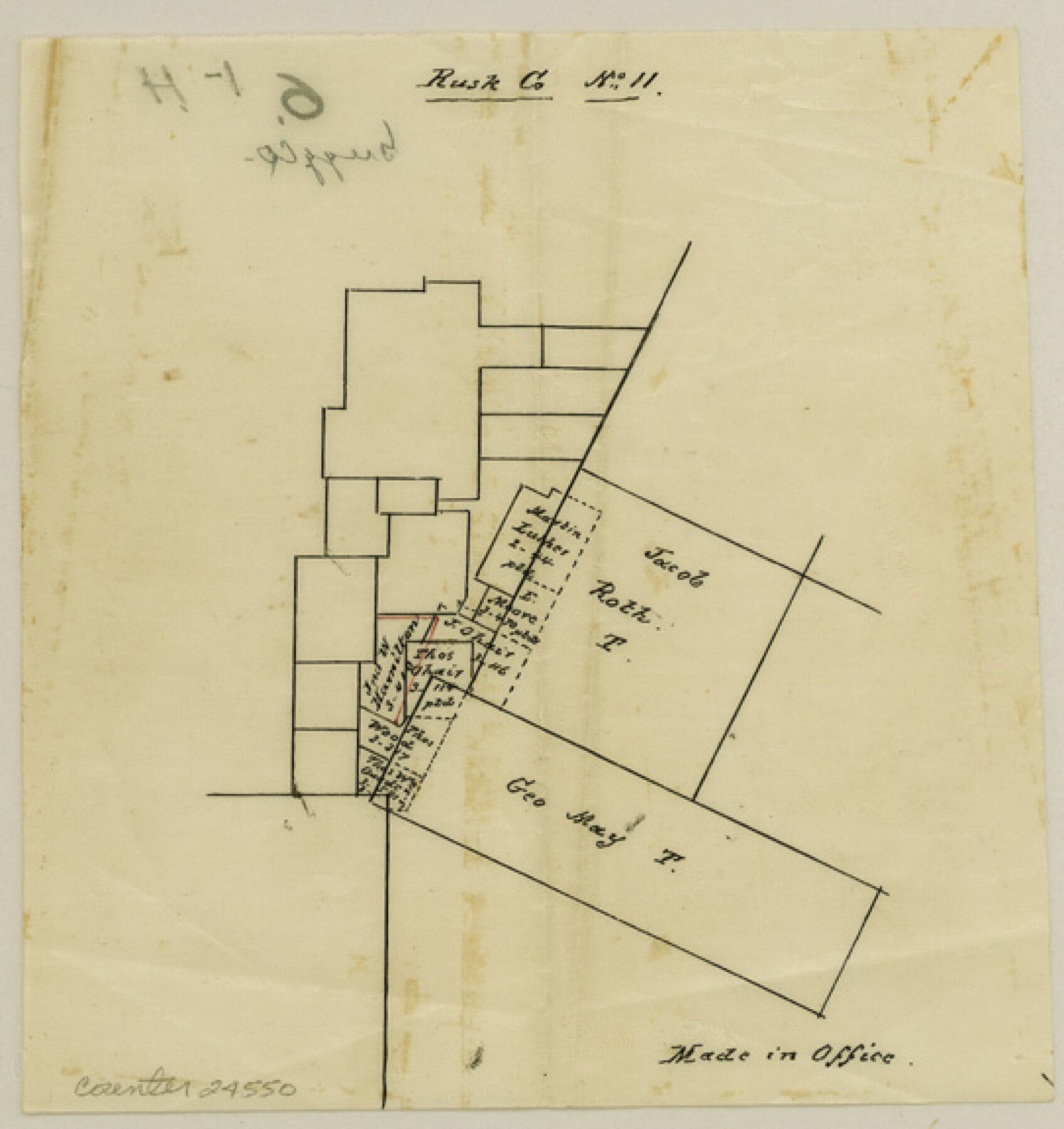
Gregg County Sketch File 1H
[Sketch of surveys west of Jacob Roth]
-
Map/Doc
24550
-
Collection
General Map Collection
-
People and Organizations
Pressler (Surveyor/Engineer)
-
Counties
Gregg Rusk
-
Subjects
Surveying Sketch File
-
Height x Width
5.8 x 5.4 inches
14.7 x 13.7 cm
-
Medium
paper, manuscript
Part of: General Map Collection
Travis County Rolled Sketch 30

Print $20.00
- Digital $50.00
Travis County Rolled Sketch 30
1943
Size 26.5 x 25.6 inches
Map/Doc 8032
Borden County Sketch File 3

Print $4.00
- Digital $50.00
Borden County Sketch File 3
1902
Size 7.3 x 12.8 inches
Map/Doc 14703
Comal County Rolled Sketch 3

Print $20.00
- Digital $50.00
Comal County Rolled Sketch 3
1977
Size 19.0 x 17.3 inches
Map/Doc 5538
Montague County Sketch File 7

Print $6.00
- Digital $50.00
Montague County Sketch File 7
1860
Size 6.3 x 5.4 inches
Map/Doc 31719
Starr County Rolled Sketch 28

Print $20.00
- Digital $50.00
Starr County Rolled Sketch 28
1941
Size 29.0 x 20.6 inches
Map/Doc 7811
Tarrant County

Print $40.00
- Digital $50.00
Tarrant County
1942
Size 48.3 x 38.0 inches
Map/Doc 95649
Jefferson County Rolled Sketch 12

Print $2.00
- Digital $50.00
Jefferson County Rolled Sketch 12
Size 12.2 x 7.1 inches
Map/Doc 9279
Galveston County Rolled Sketch 14

Print $155.00
- Digital $50.00
Galveston County Rolled Sketch 14
1950
Size 10.1 x 15.3 inches
Map/Doc 44808
Sketch of the line of march of the 2nd US Dragoons commanded by Col D. E. Tuiggs from Fort Jesup, La to Corpus Christi, Texas between the 25th of July and the 27th Aug, 1845

Print $20.00
- Digital $50.00
Sketch of the line of march of the 2nd US Dragoons commanded by Col D. E. Tuiggs from Fort Jesup, La to Corpus Christi, Texas between the 25th of July and the 27th Aug, 1845
1845
Size 25.4 x 18.3 inches
Map/Doc 72724
Flight Mission No. DQN-1K, Frame 123, Calhoun County

Print $20.00
- Digital $50.00
Flight Mission No. DQN-1K, Frame 123, Calhoun County
1953
Size 18.4 x 22.2 inches
Map/Doc 84189
Glasscock County Sketch File 11

Print $6.00
- Digital $50.00
Glasscock County Sketch File 11
1933
Size 15.7 x 11.4 inches
Map/Doc 24174
Coryell County Boundary File 1 and 1a

Print $8.00
- Digital $50.00
Coryell County Boundary File 1 and 1a
Size 8.2 x 3.3 inches
Map/Doc 51890
You may also like
No. 7 Presidio County

Print $20.00
- Digital $50.00
No. 7 Presidio County
Size 23.9 x 26.2 inches
Map/Doc 3969


[John H. Gibson Block D Showing Patented Sections]
![92450, [John H. Gibson Block D Showing Patented Sections], Twichell Survey Records](https://historictexasmaps.com/wmedia_w700/maps/92450-1.tif.jpg)
Print $20.00
- Digital $50.00
[John H. Gibson Block D Showing Patented Sections]
Size 14.7 x 16.1 inches
Map/Doc 92450
Flight Mission No. DCL-7C, Frame 117, Kenedy County

Print $20.00
- Digital $50.00
Flight Mission No. DCL-7C, Frame 117, Kenedy County
1943
Size 18.4 x 22.3 inches
Map/Doc 86082
Map of J. J. Lane and A. D. Jones and Four Lakes Ranch

Print $20.00
- Digital $50.00
Map of J. J. Lane and A. D. Jones and Four Lakes Ranch
Size 28.7 x 28.8 inches
Map/Doc 92398
Parker County Sketch File 10

Print $40.00
- Digital $50.00
Parker County Sketch File 10
Size 43.5 x 37.8 inches
Map/Doc 10567
Bowie County Working Sketch 19

Print $20.00
- Digital $50.00
Bowie County Working Sketch 19
1962
Size 23.3 x 17.9 inches
Map/Doc 67423
Upton County Working Sketch 45

Print $20.00
- Digital $50.00
Upton County Working Sketch 45
1968
Size 44.2 x 38.2 inches
Map/Doc 69541
Pecos County Working Sketch 106

Print $40.00
- Digital $50.00
Pecos County Working Sketch 106
1971
Size 64.9 x 38.1 inches
Map/Doc 71579
Reagan County Rolled Sketch 26

Print $20.00
- Digital $50.00
Reagan County Rolled Sketch 26
1951
Size 32.7 x 42.7 inches
Map/Doc 9820
Blanco County Sketch File 21

Print $6.00
- Digital $50.00
Blanco County Sketch File 21
1881
Size 15.6 x 11.2 inches
Map/Doc 14600