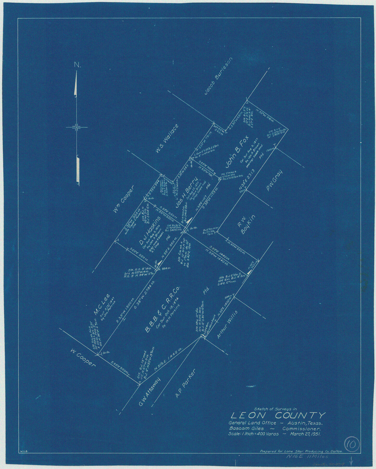
Leon County Working Sketch 10
-
Map/Doc
70409
-
Collection
General Map Collection
-
Object Dates
3/27/1951 (Creation Date)
-
People and Organizations
W. S. Brewington (Draftsman)
-
Counties
Leon
-
Subjects
Surveying Working Sketch
-
Height x Width
21.5 x 17.3 inches
54.6 x 43.9 cm
-
Scale
1" = 400 varas
Part of: General Map Collection
Sutton County Rolled Sketch 43

Print $20.00
- Digital $50.00
Sutton County Rolled Sketch 43
1939
Size 18.7 x 26.8 inches
Map/Doc 7885
Outer Continental Shelf Leasing Maps (Texas Offshore Operations)

Print $20.00
- Digital $50.00
Outer Continental Shelf Leasing Maps (Texas Offshore Operations)
Size 14.7 x 17.4 inches
Map/Doc 75845
Andrews County Working Sketch 9

Print $20.00
- Digital $50.00
Andrews County Working Sketch 9
1955
Size 10.2 x 23.3 inches
Map/Doc 67055
Jefferson County Rolled Sketch 58

Print $40.00
- Digital $50.00
Jefferson County Rolled Sketch 58
1897
Size 21.4 x 60.3 inches
Map/Doc 9312
Hardin County Working Sketch 44

Print $40.00
- Digital $50.00
Hardin County Working Sketch 44
1954
Size 53.2 x 39.9 inches
Map/Doc 65610
Loving County Rolled Sketch 1

Print $40.00
- Digital $50.00
Loving County Rolled Sketch 1
Size 42.5 x 79.5 inches
Map/Doc 9460
Kenedy County Rolled Sketch 10

Print $20.00
- Digital $50.00
Kenedy County Rolled Sketch 10
1915
Size 21.7 x 35.7 inches
Map/Doc 6470
Nolan County Sketch File A

Print $20.00
- Digital $50.00
Nolan County Sketch File A
Size 22.4 x 19.9 inches
Map/Doc 42170
Hood County Working Sketch 19

Print $20.00
- Digital $50.00
Hood County Working Sketch 19
1988
Size 22.7 x 18.3 inches
Map/Doc 66213
Kendall County Sketch File 26

Print $12.00
- Digital $50.00
Kendall County Sketch File 26
1950
Size 11.2 x 8.8 inches
Map/Doc 28725
Atascosa County Sketch File 40

Print $40.00
- Digital $50.00
Atascosa County Sketch File 40
1881
Size 15.2 x 12.6 inches
Map/Doc 13835
Map of Coryell Co.

Print $40.00
- Digital $50.00
Map of Coryell Co.
1896
Size 48.0 x 46.2 inches
Map/Doc 66786
You may also like
Hall County Sketch File 32a

Print $56.00
- Digital $50.00
Hall County Sketch File 32a
1911
Size 14.4 x 8.6 inches
Map/Doc 24846
Runnels County Working Sketch 15

Print $20.00
- Digital $50.00
Runnels County Working Sketch 15
1950
Size 22.8 x 18.5 inches
Map/Doc 63611
Gray County Working Sketch 1

Print $40.00
- Digital $50.00
Gray County Working Sketch 1
Size 121.0 x 38.8 inches
Map/Doc 63232
Panorama of the seat of war - Birds eye view of Texas and part of Mexico

Print $20.00
- Digital $50.00
Panorama of the seat of war - Birds eye view of Texas and part of Mexico
1861
Size 24.4 x 31.5 inches
Map/Doc 97250
Bowie County Working Sketch 6

Print $20.00
- Digital $50.00
Bowie County Working Sketch 6
1928
Size 27.4 x 22.9 inches
Map/Doc 67410

Pecos County Sketch File 41

Print $32.00
- Digital $50.00
Pecos County Sketch File 41
1919
Size 11.2 x 8.8 inches
Map/Doc 33729
Bexar County Sketch File 2

Print $4.00
- Digital $50.00
Bexar County Sketch File 2
1849
Size 9.1 x 8.3 inches
Map/Doc 14471
Flight Mission No. DQN-2K, Frame 32, Calhoun County

Print $20.00
- Digital $50.00
Flight Mission No. DQN-2K, Frame 32, Calhoun County
1953
Size 18.7 x 22.3 inches
Map/Doc 84239
San Patricio County Working Sketch 5

Print $20.00
- Digital $50.00
San Patricio County Working Sketch 5
1934
Size 31.6 x 35.9 inches
Map/Doc 63767
Aransas County Rolled Sketch 18

Print $29.00
- Digital $50.00
Aransas County Rolled Sketch 18
1965
Size 11.0 x 15.1 inches
Map/Doc 42328
Martin County Boundary File 62a

Print $30.00
- Digital $50.00
Martin County Boundary File 62a
Size 12.8 x 8.3 inches
Map/Doc 56801