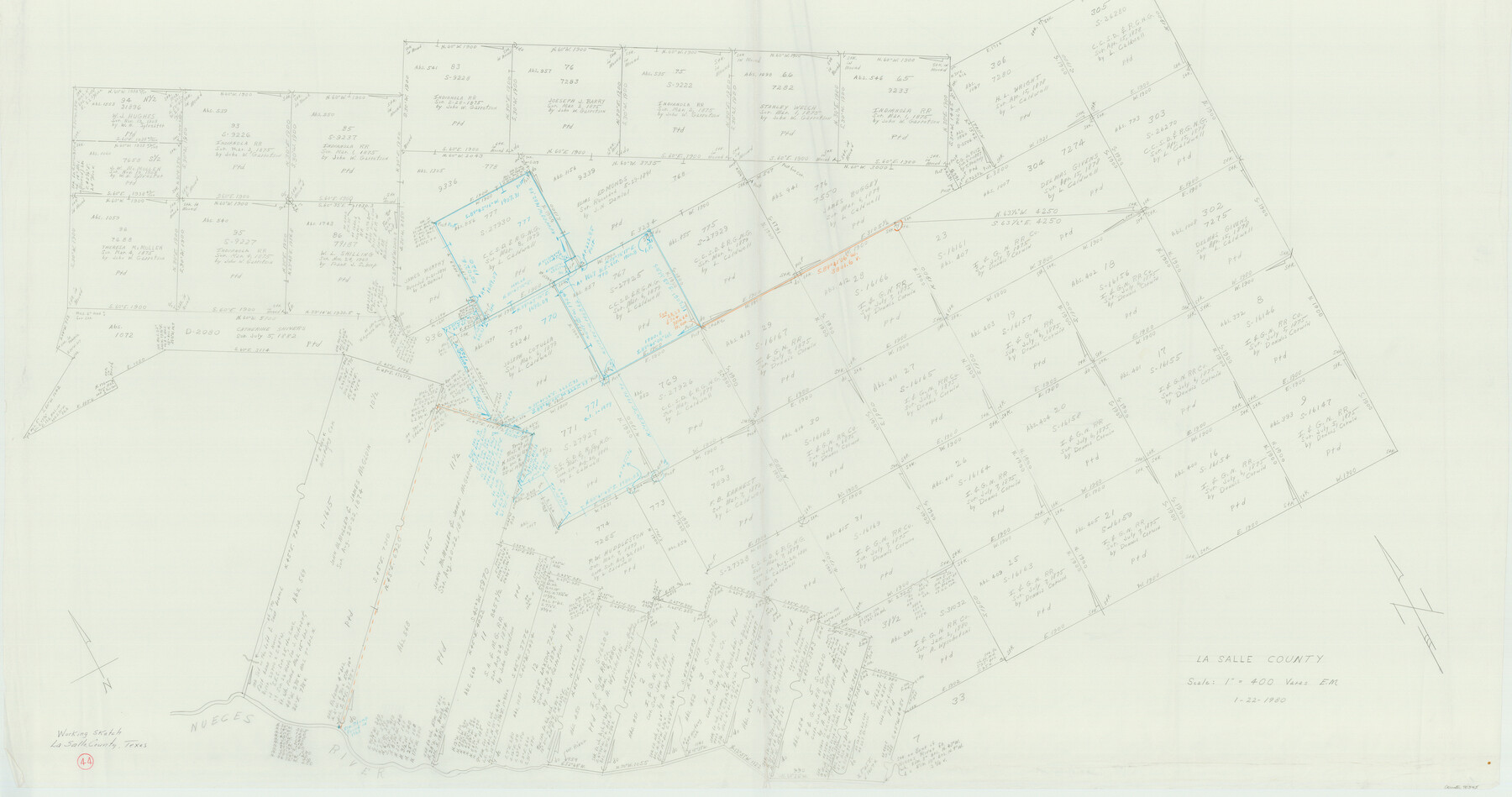
La Salle County Working Sketch 44
-
Map/Doc
70345
-
Collection
General Map Collection
-
Object Dates
1/22/1980 (Creation Date)
-
People and Organizations
Elbert Menzel (Draftsman)
-
Counties
La Salle
-
Subjects
Surveying Working Sketch
-
Height x Width
34.7 x 65.8 inches
88.1 x 167.1 cm
Part of: General Map Collection
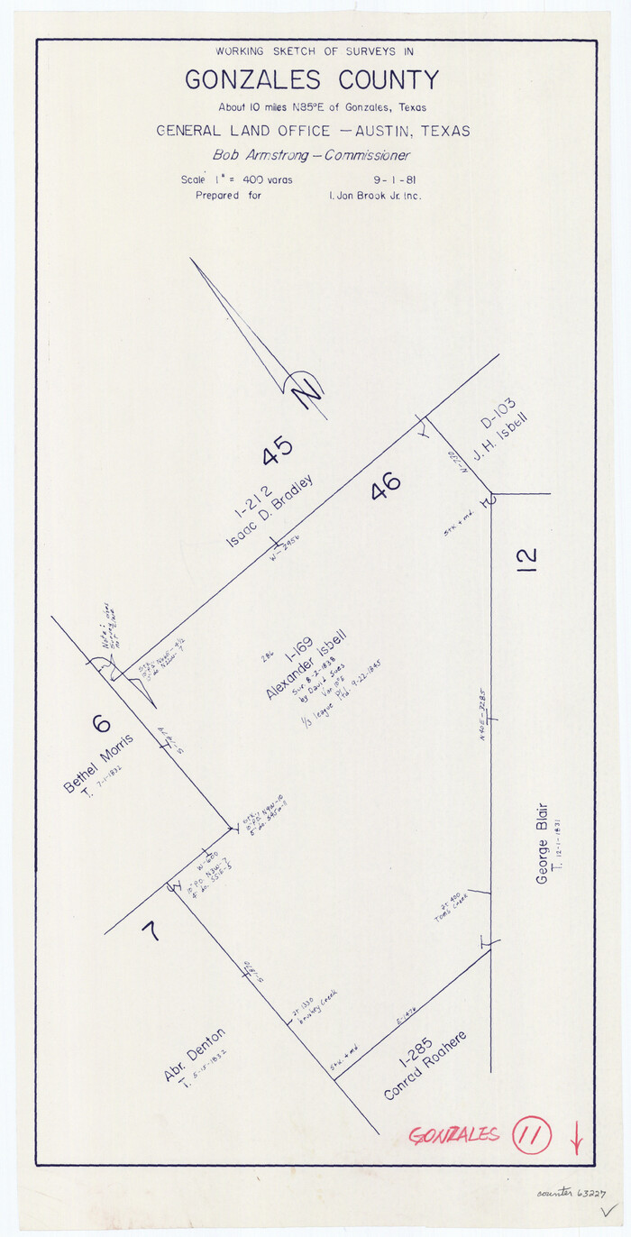
Gonzales County Working Sketch 11
Print $20.00
- Digital $50.00
Gonzales County Working Sketch 11
1981
Size 22.2 x 11.3 inches
Map/Doc 63227
Midland County Sketch File 14

Print $8.00
- Digital $50.00
Midland County Sketch File 14
1951
Size 10.9 x 8.7 inches
Map/Doc 31578
Ellis County Boundary File 3

Print $58.00
- Digital $50.00
Ellis County Boundary File 3
Size 14.1 x 122.4 inches
Map/Doc 52950
Cooke County Working Sketch 13

Print $20.00
- Digital $50.00
Cooke County Working Sketch 13
1944
Size 29.1 x 38.2 inches
Map/Doc 68250
Glasscock County Working Sketch 15

Print $40.00
- Digital $50.00
Glasscock County Working Sketch 15
1984
Size 65.6 x 42.1 inches
Map/Doc 63188
Harris County Rolled Sketch 33

Print $20.00
- Digital $50.00
Harris County Rolled Sketch 33
1912
Size 26.0 x 34.5 inches
Map/Doc 6097
Flight Mission No. BRA-16M, Frame 146, Jefferson County

Print $20.00
- Digital $50.00
Flight Mission No. BRA-16M, Frame 146, Jefferson County
1953
Size 18.4 x 22.3 inches
Map/Doc 85752
Texas Official Highway Travel Map

Texas Official Highway Travel Map
Size 27.3 x 36.4 inches
Map/Doc 94308
Cherokee County Working Sketch 9

Print $20.00
- Digital $50.00
Cherokee County Working Sketch 9
1957
Size 46.9 x 34.0 inches
Map/Doc 67964
Travis County State Real Property Sketch 16

Print $20.00
- Digital $50.00
Travis County State Real Property Sketch 16
2009
Size 47.8 x 36.0 inches
Map/Doc 90087
Burleson County Working Sketch 18

Print $20.00
- Digital $50.00
Burleson County Working Sketch 18
1980
Size 17.6 x 7.8 inches
Map/Doc 67737
Flight Mission No. BRA-3M, Frame 190, Jefferson County

Print $20.00
- Digital $50.00
Flight Mission No. BRA-3M, Frame 190, Jefferson County
1953
Size 18.6 x 22.3 inches
Map/Doc 85405
You may also like
Sterling County Sketch File 20

Print $12.00
- Digital $50.00
Sterling County Sketch File 20
1952
Size 11.2 x 8.7 inches
Map/Doc 37173
America Settentrionale colle nuove scoperte fin all’anno 1688

Print $20.00
- Digital $50.00
America Settentrionale colle nuove scoperte fin all’anno 1688
1688
Size 29.7 x 37.5 inches
Map/Doc 93709
Crockett County Working Sketch 52

Print $20.00
- Digital $50.00
Crockett County Working Sketch 52
1941
Size 26.0 x 33.5 inches
Map/Doc 68385
Flight Mission No. BRA-7M, Frame 195, Jefferson County

Print $20.00
- Digital $50.00
Flight Mission No. BRA-7M, Frame 195, Jefferson County
1953
Size 18.5 x 22.4 inches
Map/Doc 85563
Midland County Sketch File 19

Print $74.00
- Digital $50.00
Midland County Sketch File 19
1952
Size 11.1 x 8.7 inches
Map/Doc 31587
Lampasas County Boundary File 16a

Print $28.00
- Digital $50.00
Lampasas County Boundary File 16a
Size 13.9 x 8.4 inches
Map/Doc 56223
Scurry County Sketch Mineral Application No. 42315

Print $20.00
- Digital $50.00
Scurry County Sketch Mineral Application No. 42315
1950
Size 24.0 x 16.5 inches
Map/Doc 92965
Galveston County NRC Article 33.136 Sketch 38

Print $28.00
- Digital $50.00
Galveston County NRC Article 33.136 Sketch 38
2006
Size 24.4 x 18.6 inches
Map/Doc 83079
Orange County Sketch File 34

Print $20.00
- Digital $50.00
Orange County Sketch File 34
1929
Size 23.5 x 27.7 inches
Map/Doc 12126
Crosby County Sketch File 13a

Print $44.00
- Digital $50.00
Crosby County Sketch File 13a
1903
Size 8.8 x 4.5 inches
Map/Doc 20036
Comanche County Sketch File 25

Print $2.00
- Digital $50.00
Comanche County Sketch File 25
Size 7.4 x 3.6 inches
Map/Doc 19115
Freestone County Rolled Sketch 2

Print $20.00
- Digital $50.00
Freestone County Rolled Sketch 2
1952
Size 27.1 x 30.2 inches
Map/Doc 5910