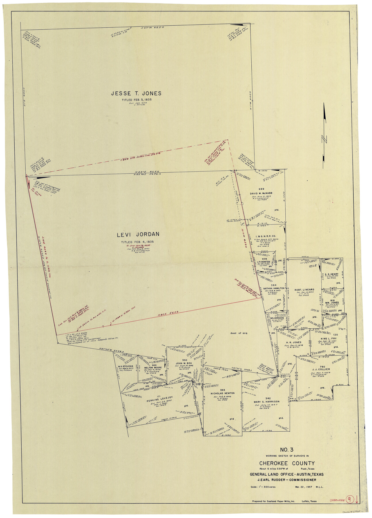
Cherokee County Working Sketch 9
-
Map/Doc
67964
-
Collection
General Map Collection
-
Object Dates
3/22/1957 (Creation Date)
-
People and Organizations
M. L. Liles (Draftsman)
-
Counties
Cherokee
-
Subjects
Surveying Working Sketch
-
Height x Width
46.9 x 34.0 inches
119.1 x 86.4 cm
-
Scale
1" = 300 varas
Part of: General Map Collection
San Augustine County Working Sketch 2

Print $20.00
- Digital $50.00
San Augustine County Working Sketch 2
Size 28.5 x 19.1 inches
Map/Doc 63689
Tom Green County

Print $40.00
- Digital $50.00
Tom Green County
1942
Size 55.7 x 46.7 inches
Map/Doc 95655
Edwards County Rolled Sketch 29

Print $40.00
- Digital $50.00
Edwards County Rolled Sketch 29
1974
Size 49.1 x 29.1 inches
Map/Doc 8847
Ector County Working Sketch 11

Print $20.00
- Digital $50.00
Ector County Working Sketch 11
1954
Size 24.6 x 37.7 inches
Map/Doc 68854
Flight Mission No. CGN-3P, Frame 141, San Patricio County

Print $20.00
- Digital $50.00
Flight Mission No. CGN-3P, Frame 141, San Patricio County
1956
Size 18.6 x 22.4 inches
Map/Doc 86985
Harris County Rolled Sketch 86

Print $40.00
- Digital $50.00
Harris County Rolled Sketch 86
Size 50.4 x 43.9 inches
Map/Doc 73581
Pecos County Working Sketch 9

Print $20.00
- Digital $50.00
Pecos County Working Sketch 9
1907
Size 32.4 x 26.7 inches
Map/Doc 71479
Morris County Rolled Sketch 2A

Print $20.00
- Digital $50.00
Morris County Rolled Sketch 2A
Size 24.1 x 18.9 inches
Map/Doc 10261
Culberson County Working Sketch 76

Print $20.00
- Digital $50.00
Culberson County Working Sketch 76
1975
Size 33.4 x 43.1 inches
Map/Doc 68530
Gregg County Working Sketch 14

Print $20.00
- Digital $50.00
Gregg County Working Sketch 14
1941
Size 29.7 x 39.5 inches
Map/Doc 63281
Flight Mission No. CLL-1N, Frame 107, Willacy County

Print $20.00
- Digital $50.00
Flight Mission No. CLL-1N, Frame 107, Willacy County
1954
Size 18.5 x 22.1 inches
Map/Doc 87041
Gillespie County Rolled Sketch 2

Print $20.00
- Digital $50.00
Gillespie County Rolled Sketch 2
1977
Size 22.8 x 22.7 inches
Map/Doc 6009
You may also like
Cochran County

Print $20.00
- Digital $50.00
Cochran County
1913
Size 28.2 x 20.8 inches
Map/Doc 4911
Hale County Boundary File 2

Print $4.00
- Digital $50.00
Hale County Boundary File 2
Size 10.9 x 8.8 inches
Map/Doc 54044
Aransas County Rolled Sketch 2

Print $40.00
- Digital $50.00
Aransas County Rolled Sketch 2
1950
Size 42.5 x 48.6 inches
Map/Doc 73611
Flight Mission No. CRC-5R, Frame 33, Chambers County

Print $20.00
- Digital $50.00
Flight Mission No. CRC-5R, Frame 33, Chambers County
1956
Size 18.6 x 22.5 inches
Map/Doc 84952
Flight Mission No. DAG-21K, Frame 103, Matagorda County

Print $20.00
- Digital $50.00
Flight Mission No. DAG-21K, Frame 103, Matagorda County
1952
Size 18.7 x 22.3 inches
Map/Doc 86431
Hudspeth County Working Sketch 20

Print $40.00
- Digital $50.00
Hudspeth County Working Sketch 20
1966
Size 43.8 x 63.6 inches
Map/Doc 66302
Angelina County Working Sketch 29

Print $20.00
- Digital $50.00
Angelina County Working Sketch 29
1955
Size 24.9 x 23.3 inches
Map/Doc 67111
Upton County Working Sketch 36

Print $40.00
- Digital $50.00
Upton County Working Sketch 36
1957
Size 43.5 x 57.3 inches
Map/Doc 69532
Red River County Working Sketch 81-2

Print $20.00
- Digital $50.00
Red River County Working Sketch 81-2
1987
Size 14.6 x 18.6 inches
Map/Doc 72065
Index sheet to accompany map of survey for connecting the inland waters along margin of the Gulf of Mexico from Donaldsonville in Louisiana to the Rio Grande River in Texas

Print $20.00
- Digital $50.00
Index sheet to accompany map of survey for connecting the inland waters along margin of the Gulf of Mexico from Donaldsonville in Louisiana to the Rio Grande River in Texas
1874
Size 18.1 x 26.9 inches
Map/Doc 72694
Johnson County Sketch File 25

Print $50.00
- Digital $50.00
Johnson County Sketch File 25
Size 13.9 x 8.3 inches
Map/Doc 28459
[Sketch of part of G. & M. Block 5, G. & M. Block 4, Block M19 and Block 21W]
![93085, [Sketch of part of G. & M. Block 5, G. & M. Block 4, Block M19 and Block 21W], Twichell Survey Records](https://historictexasmaps.com/wmedia_w700/maps/93085-1.tif.jpg)
Print $20.00
- Digital $50.00
[Sketch of part of G. & M. Block 5, G. & M. Block 4, Block M19 and Block 21W]
Size 23.1 x 17.8 inches
Map/Doc 93085