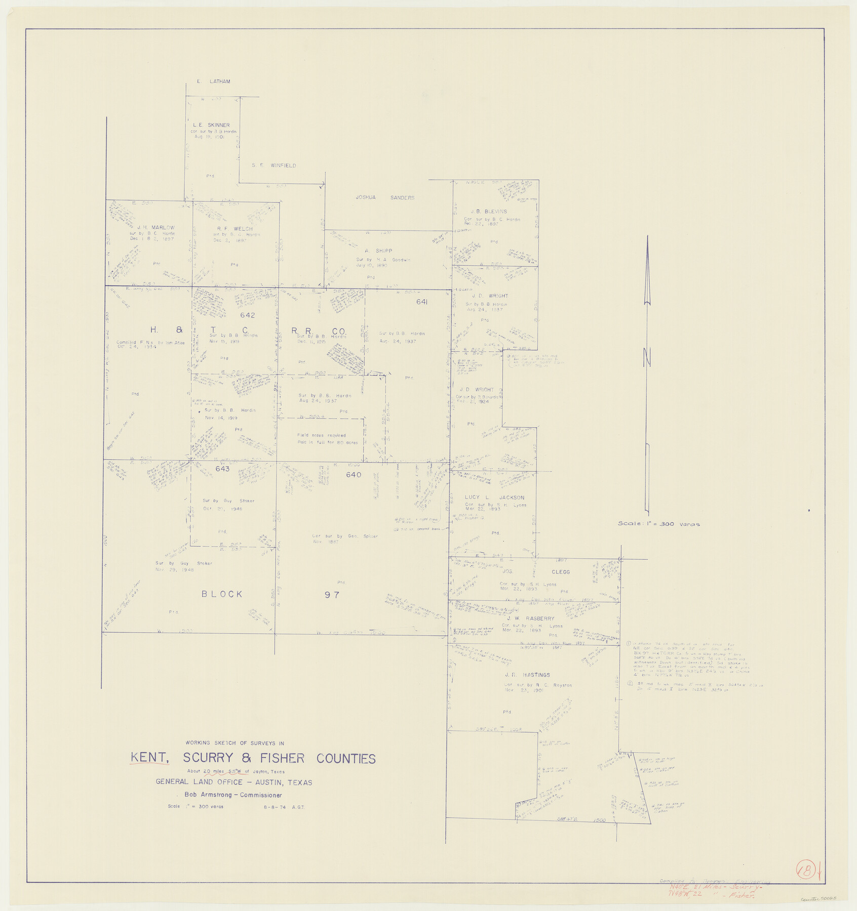
Kent County Working Sketch 18
-
Map/Doc
70025
-
Collection
General Map Collection
-
Object Dates
8/8/1974 (Creation Date)
-
People and Organizations
Abner G. Trigg (Draftsman)
-
Counties
Kent Scurry Fisher
-
Subjects
Surveying Working Sketch
-
Height x Width
33.5 x 31.5 inches
85.1 x 80.0 cm
-
Scale
1" = 300 varas
Part of: General Map Collection
Red River County Working Sketch 49

Print $20.00
- Digital $50.00
Red River County Working Sketch 49
1970
Size 31.3 x 21.5 inches
Map/Doc 72032
Map of Europe engraved to illustrate the new intermediate geography

Print $20.00
- Digital $50.00
Map of Europe engraved to illustrate the new intermediate geography
1885
Size 9.0 x 12.2 inches
Map/Doc 93526
[Sketch for Mineral Application 33721 - 33725 Incl. - Padre and Mustang Island]
![2876, [Sketch for Mineral Application 33721 - 33725 Incl. - Padre and Mustang Island], General Map Collection](https://historictexasmaps.com/wmedia_w700/maps/2876.tif.jpg)
Print $20.00
- Digital $50.00
[Sketch for Mineral Application 33721 - 33725 Incl. - Padre and Mustang Island]
1942
Size 29.1 x 23.0 inches
Map/Doc 2876
Sketch Showing Property Lines of Harlem State Farm

Print $20.00
- Digital $50.00
Sketch Showing Property Lines of Harlem State Farm
Size 16.0 x 30.2 inches
Map/Doc 62982
Treaty to Resolve Pending Boundary Differences and Maintain the Rio Grande and Colorado River as the International Boundary Between the United States of American and Mexico

Print $20.00
- Digital $50.00
Treaty to Resolve Pending Boundary Differences and Maintain the Rio Grande and Colorado River as the International Boundary Between the United States of American and Mexico
1970
Size 11.0 x 35.3 inches
Map/Doc 83103
Cherokee County Sketch File 8

Print $4.00
- Digital $50.00
Cherokee County Sketch File 8
1854
Size 10.3 x 8.1 inches
Map/Doc 18130
Andrews County Working Sketch 28

Print $20.00
- Digital $50.00
Andrews County Working Sketch 28
Size 32.2 x 35.6 inches
Map/Doc 67074
Culberson County Rolled Sketch 57

Print $40.00
- Digital $50.00
Culberson County Rolled Sketch 57
1967
Size 76.9 x 44.2 inches
Map/Doc 8758
Presidio County Rolled Sketch 95

Print $20.00
- Digital $50.00
Presidio County Rolled Sketch 95
1949
Size 45.4 x 37.5 inches
Map/Doc 9781
Van Zandt County Sketch File 38

Print $4.00
- Digital $50.00
Van Zandt County Sketch File 38
1871
Size 8.2 x 10.1 inches
Map/Doc 39482
Cameron County Sketch File 4

Print $52.00
- Digital $50.00
Cameron County Sketch File 4
1968
Size 11.3 x 8.8 inches
Map/Doc 17024
Hall County Sketch File 5

Print $20.00
- Digital $50.00
Hall County Sketch File 5
1884
Size 18.9 x 24.1 inches
Map/Doc 11602
You may also like
Flight Mission No. DAH-17M, Frame 31, Orange County

Print $20.00
- Digital $50.00
Flight Mission No. DAH-17M, Frame 31, Orange County
1953
Size 18.7 x 22.5 inches
Map/Doc 86894
[Cotton Belt, St. Louis Southwestern Railway of Texas, Alignment through Smith County]
![64386, [Cotton Belt, St. Louis Southwestern Railway of Texas, Alignment through Smith County], General Map Collection](https://historictexasmaps.com/wmedia_w700/maps/64386.tif.jpg)
Print $20.00
- Digital $50.00
[Cotton Belt, St. Louis Southwestern Railway of Texas, Alignment through Smith County]
1903
Size 21.7 x 29.3 inches
Map/Doc 64386
Map of San Patricio County

Print $20.00
- Digital $50.00
Map of San Patricio County
1863
Size 17.9 x 26.3 inches
Map/Doc 4018
Flight Mission No. DAG-21K, Frame 123, Matagorda County

Print $20.00
- Digital $50.00
Flight Mission No. DAG-21K, Frame 123, Matagorda County
1952
Size 18.5 x 22.4 inches
Map/Doc 86449
Flight Mission No. BRE-2P, Frame 68, Nueces County

Print $20.00
- Digital $50.00
Flight Mission No. BRE-2P, Frame 68, Nueces County
1956
Size 18.6 x 22.4 inches
Map/Doc 86763
Flight Mission No. BQR-3K, Frame 154, Brazoria County

Print $20.00
- Digital $50.00
Flight Mission No. BQR-3K, Frame 154, Brazoria County
1952
Size 18.7 x 22.3 inches
Map/Doc 83981
Map of east part of West Bay & SW part of Galveston Bay, Galveston County showing subdivision for mineral development

Print $40.00
- Digital $50.00
Map of east part of West Bay & SW part of Galveston Bay, Galveston County showing subdivision for mineral development
1963
Size 43.0 x 60.8 inches
Map/Doc 2976
Brown County Working Sketch 12

Print $20.00
- Digital $50.00
Brown County Working Sketch 12
1984
Size 27.0 x 25.2 inches
Map/Doc 67777
Hall County Sketch File C2

Print $6.00
- Digital $50.00
Hall County Sketch File C2
1905
Size 14.4 x 9.0 inches
Map/Doc 24789
Newton County Working Sketch 21

Print $20.00
- Digital $50.00
Newton County Working Sketch 21
1952
Size 27.5 x 32.5 inches
Map/Doc 71267
Clason's Oil Map of Texas and Oklahoma showing the location and approximate area of the oil and gas fields

Print $20.00
- Digital $50.00
Clason's Oil Map of Texas and Oklahoma showing the location and approximate area of the oil and gas fields
1919
Size 22.4 x 24.5 inches
Map/Doc 97158
Amerique Septentrionale

Print $20.00
- Digital $50.00
Amerique Septentrionale
1650
Size 17.2 x 23.1 inches
Map/Doc 93684