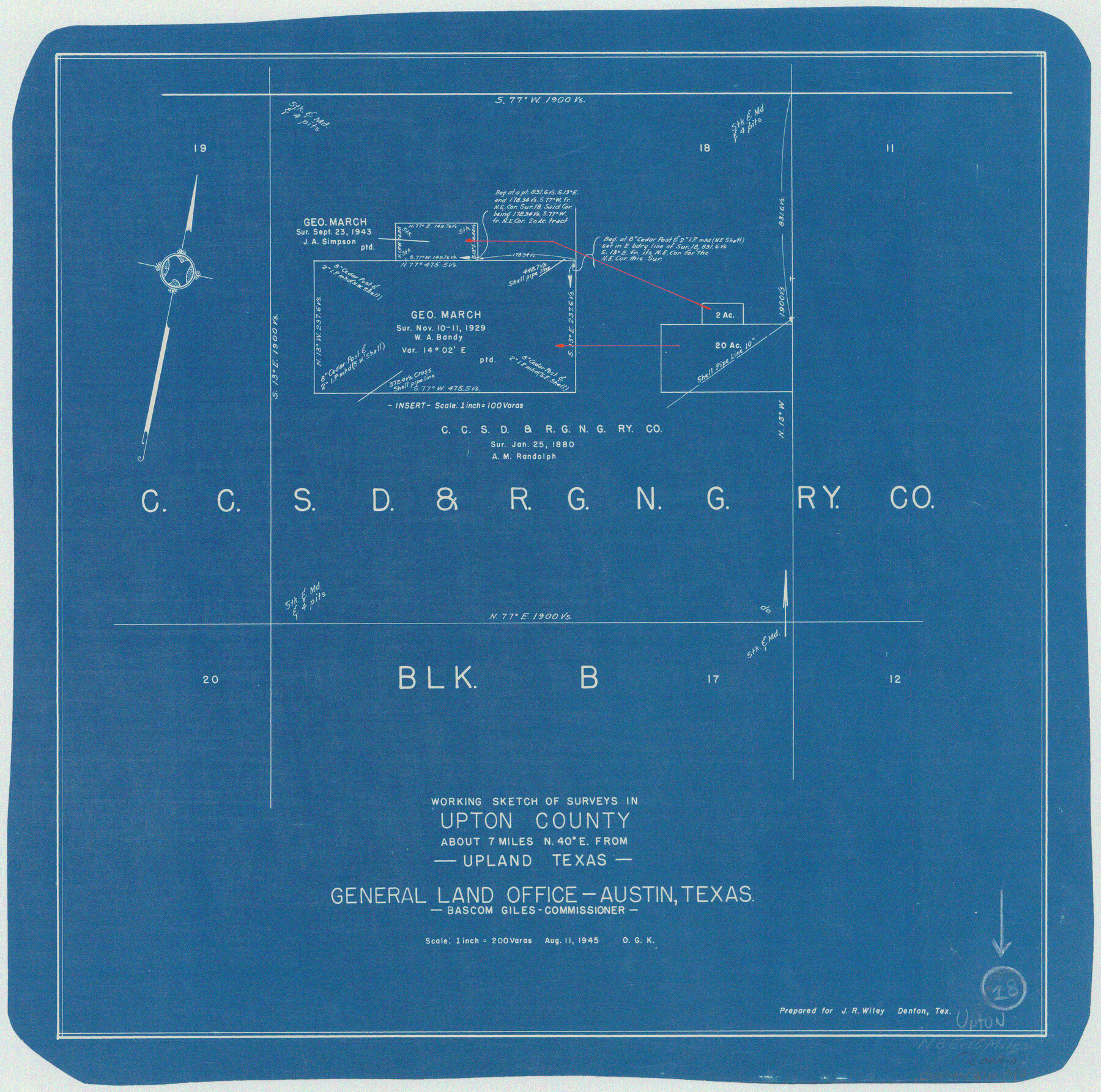
Upton County Working Sketch 18
-
Map/Doc
69514
-
Collection
General Map Collection
-
Object Dates
8/11/1945 (Creation Date)
-
People and Organizations
Otto G. Kurio (Draftsman)
-
Counties
Upton
-
Subjects
Surveying Working Sketch
-
Height x Width
19.7 x 19.9 inches
50.0 x 50.6 cm
-
Scale
1" = 200 varas
Part of: General Map Collection
Webb County Boundary File 7

Print $98.00
- Digital $50.00
Webb County Boundary File 7
Size 14.2 x 8.7 inches
Map/Doc 59809
Tyler County Sketch File 25

Print $28.00
- Digital $50.00
Tyler County Sketch File 25
1953
Size 14.5 x 9.0 inches
Map/Doc 38689
Austin County Sketch File 4

Print $8.00
- Digital $50.00
Austin County Sketch File 4
1881
Size 12.9 x 8.3 inches
Map/Doc 13857
Shelby County Sketch File 20

Print $20.00
- Digital $50.00
Shelby County Sketch File 20
1879
Size 18.3 x 34.6 inches
Map/Doc 12319
Flight Mission No. DQN-7K, Frame 36, Calhoun County

Print $20.00
- Digital $50.00
Flight Mission No. DQN-7K, Frame 36, Calhoun County
1953
Size 18.5 x 22.2 inches
Map/Doc 84474

Sulphur River, Bexelder Sheet/Cuthand Creek

Print $20.00
- Digital $50.00
Sulphur River, Bexelder Sheet/Cuthand Creek
Size 17.3 x 14.1 inches
Map/Doc 78325
Galveston County Sketch File 75

Print $12.00
- Digital $50.00
Galveston County Sketch File 75
2011
Size 11.0 x 8.5 inches
Map/Doc 95180

Val Verde County Sketch File 47

Print $20.00
- Digital $50.00
Val Verde County Sketch File 47
1951
Size 25.1 x 18.7 inches
Map/Doc 12588
Controlled Mosaic by Jack Amman Photogrammetric Engineers, Inc - Sheet 4

Print $20.00
- Digital $50.00
Controlled Mosaic by Jack Amman Photogrammetric Engineers, Inc - Sheet 4
1954
Size 20.0 x 24.0 inches
Map/Doc 83448
Cottle County Working Sketch 4

Print $20.00
- Digital $50.00
Cottle County Working Sketch 4
1916
Size 34.3 x 31.4 inches
Map/Doc 68314
You may also like
Bell County Sketch File 12a

Print $6.00
- Digital $50.00
Bell County Sketch File 12a
1853
Size 12.8 x 8.0 inches
Map/Doc 14387
Map of Kimble County

Print $40.00
- Digital $50.00
Map of Kimble County
1890
Size 36.1 x 54.4 inches
Map/Doc 78436
Grayson County Sketch File 20

Print $4.00
- Digital $50.00
Grayson County Sketch File 20
1861
Size 10.1 x 8.1 inches
Map/Doc 24493
Map of Texas with parts of the Adjoining States

Print $20.00
- Digital $50.00
Map of Texas with parts of the Adjoining States
1830
Size 29.6 x 24.1 inches
Map/Doc 94440
Jeff Davis Co.

Print $40.00
- Digital $50.00
Jeff Davis Co.
1915
Size 30.4 x 52.2 inches
Map/Doc 66881
Flight Mission No. BQR-14K, Frame 37, Brazoria County

Print $20.00
- Digital $50.00
Flight Mission No. BQR-14K, Frame 37, Brazoria County
1952
Size 18.6 x 22.2 inches
Map/Doc 84094
Ward County Working Sketch 13

Print $20.00
- Digital $50.00
Ward County Working Sketch 13
1947
Size 20.0 x 40.6 inches
Map/Doc 72319
Val Verde County Sketch File 31

Print $18.00
- Digital $50.00
Val Verde County Sketch File 31
1922
Size 11.2 x 9.0 inches
Map/Doc 39240
[Sections 51-80 Block 47 and part of Block 3]
![91810, [Sections 51-80 Block 47 and part of Block 3], Twichell Survey Records](https://historictexasmaps.com/wmedia_w700/maps/91810-1.tif.jpg)
Print $20.00
- Digital $50.00
[Sections 51-80 Block 47 and part of Block 3]
Size 25.0 x 32.8 inches
Map/Doc 91810
Sutton County Rolled Sketch 63

Print $40.00
- Digital $50.00
Sutton County Rolled Sketch 63
Size 77.0 x 45.2 inches
Map/Doc 9979
El Paso County Working Sketch 18

Print $40.00
- Digital $50.00
El Paso County Working Sketch 18
1960
Size 74.4 x 16.1 inches
Map/Doc 69040
Bee County Sketch File 8b

Print $4.00
- Digital $50.00
Bee County Sketch File 8b
Size 11.5 x 8.1 inches
Map/Doc 14287