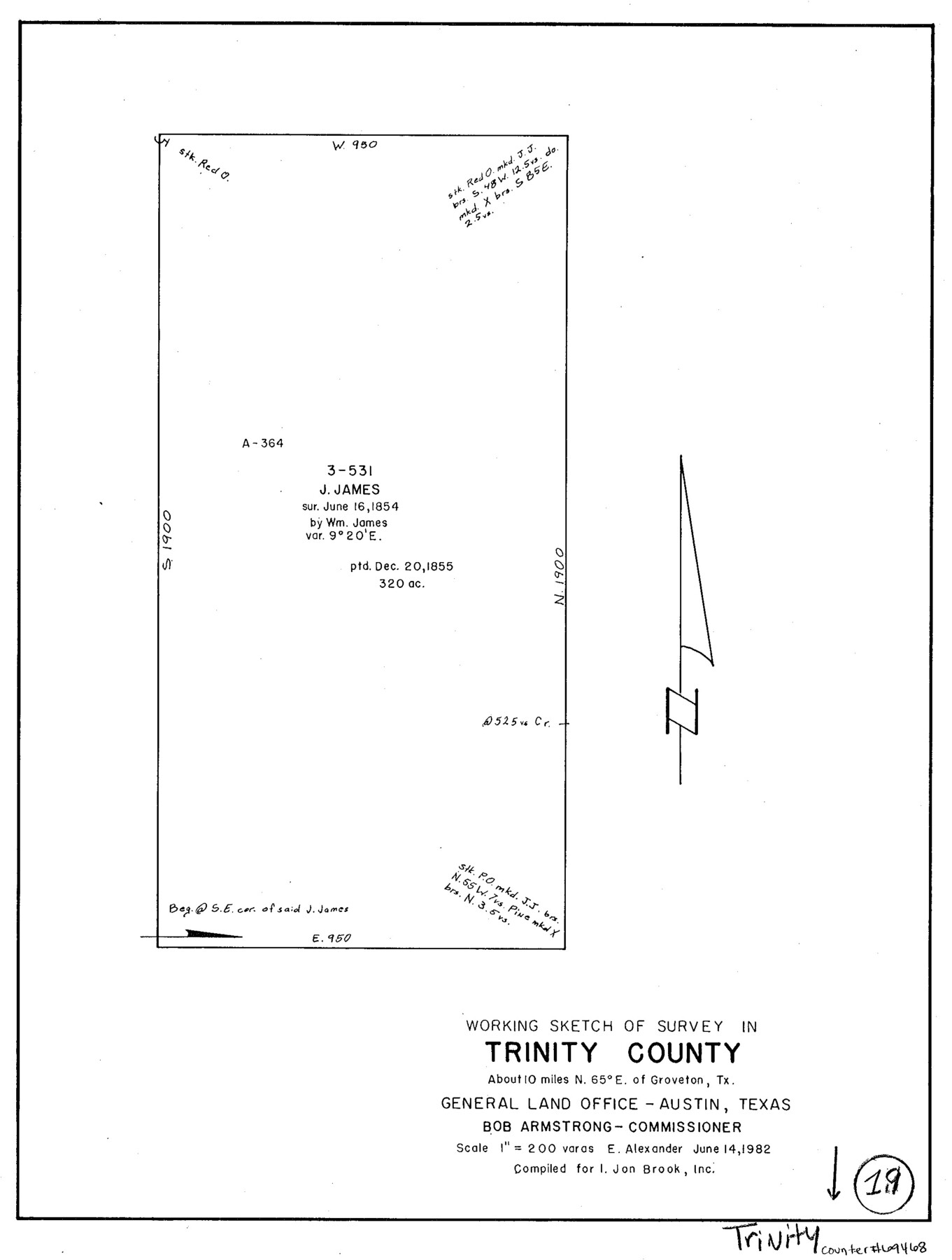
Trinity County Working Sketch 19
-
Map/Doc
69468
-
Collection
General Map Collection
-
Object Dates
6/14/1982 (Creation Date)
-
People and Organizations
Earl Alexander (Draftsman)
-
Counties
Trinity
-
Subjects
Surveying Working Sketch
-
Height x Width
14.7 x 11.1 inches
37.3 x 28.2 cm
-
Scale
1" = 200 varas
Part of: General Map Collection
Motley County Boundary File 2e

Print $40.00
- Digital $50.00
Motley County Boundary File 2e
Size 29.4 x 96.1 inches
Map/Doc 57561
Throckmorton County Rolled Sketch 6A

Print $20.00
- Digital $50.00
Throckmorton County Rolled Sketch 6A
2004
Size 20.3 x 24.3 inches
Map/Doc 82489
El Paso County Working Sketch 2

Print $20.00
- Digital $50.00
El Paso County Working Sketch 2
1913
Size 15.5 x 25.0 inches
Map/Doc 69024
Van Zandt County Sketch File 49

Print $2.00
- Digital $50.00
Van Zandt County Sketch File 49
1990
Size 11.3 x 8.9 inches
Map/Doc 39510
Real County Working Sketch 74

Print $20.00
- Digital $50.00
Real County Working Sketch 74
1979
Size 17.1 x 23.5 inches
Map/Doc 71966
Maverick County Working Sketch 16

Print $20.00
- Digital $50.00
Maverick County Working Sketch 16
1975
Size 38.1 x 27.6 inches
Map/Doc 70908
Swisher County Sketch File 19

Print $16.00
- Digital $50.00
Swisher County Sketch File 19
1913
Size 10.0 x 6.5 inches
Map/Doc 37662
Runnels County Sketch File 21

Print $5.00
Runnels County Sketch File 21
Size 11.7 x 15.6 inches
Map/Doc 35488
Hartley County Rolled Sketch 8

Print $20.00
- Digital $50.00
Hartley County Rolled Sketch 8
1974
Size 20.0 x 23.7 inches
Map/Doc 6162

Shelby County Rolled Sketch 20

Print $20.00
- Digital $50.00
Shelby County Rolled Sketch 20
1983
Size 24.7 x 37.2 inches
Map/Doc 7785
Flight Mission No. DQN-2K, Frame 95, Calhoun County

Print $20.00
- Digital $50.00
Flight Mission No. DQN-2K, Frame 95, Calhoun County
1953
Size 18.6 x 22.3 inches
Map/Doc 84285
You may also like
La Salle County Rolled Sketch 20

Print $20.00
- Digital $50.00
La Salle County Rolled Sketch 20
1954
Size 24.6 x 40.1 inches
Map/Doc 6584
Flight Mission No. CUG-3P, Frame 45, Kleberg County

Print $20.00
- Digital $50.00
Flight Mission No. CUG-3P, Frame 45, Kleberg County
1956
Size 18.4 x 22.1 inches
Map/Doc 86250
Edwards County Working Sketch 16

Print $20.00
- Digital $50.00
Edwards County Working Sketch 16
1929
Size 21.5 x 21.5 inches
Map/Doc 68892
[South part Block AX and A21 and part of Block C44 and League 305]
![90798, [South part Block AX and A21 and part of Block C44 and League 305], Twichell Survey Records](https://historictexasmaps.com/wmedia_w700/maps/90798-1.tif.jpg)
Print $40.00
- Digital $50.00
[South part Block AX and A21 and part of Block C44 and League 305]
Size 49.3 x 23.5 inches
Map/Doc 90798
Liberty County Rolled Sketch D

Print $42.00
- Digital $50.00
Liberty County Rolled Sketch D
1942
Size 28.4 x 30.1 inches
Map/Doc 9572
Sutton County Sketch File 50

Print $20.00
- Digital $50.00
Sutton County Sketch File 50
1941
Size 18.6 x 18.4 inches
Map/Doc 12392
McMullen County Rolled Sketch 6

Print $20.00
- Digital $50.00
McMullen County Rolled Sketch 6
Size 32.1 x 27.0 inches
Map/Doc 6724
Harrison County

Print $20.00
- Digital $50.00
Harrison County
1920
Size 43.8 x 40.8 inches
Map/Doc 95523
Flight Mission No. BRE-2P, Frame 109, Nueces County

Print $20.00
- Digital $50.00
Flight Mission No. BRE-2P, Frame 109, Nueces County
1956
Size 18.6 x 22.5 inches
Map/Doc 86794
Submerged Lands of Texas, Brownsville-Harlingen Sheet

Print $20.00
- Digital $50.00
Submerged Lands of Texas, Brownsville-Harlingen Sheet
1978
Size 23.9 x 32.2 inches
Map/Doc 76129
San Patricio County Sketch File 17

Print $20.00
San Patricio County Sketch File 17
1873
Size 12.0 x 19.0 inches
Map/Doc 12284
Crosby County Working Sketch 9

Print $20.00
- Digital $50.00
Crosby County Working Sketch 9
1943
Size 19.8 x 35.2 inches
Map/Doc 68443