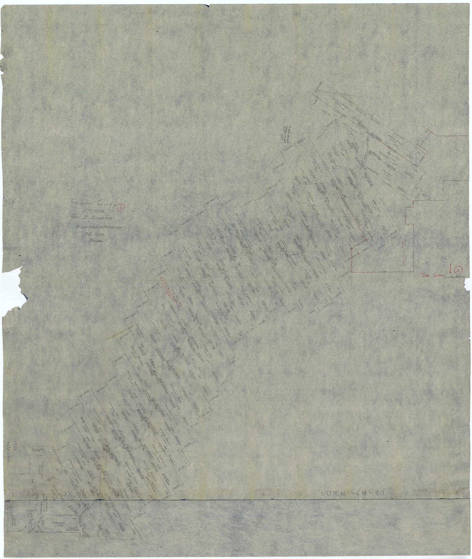
Tom Green County Working Sketch 3
-
Map/Doc
69372
-
Collection
General Map Collection
-
Object Dates
2/1933 (Creation Date)
-
Counties
Tom Green
-
Subjects
Surveying Working Sketch
-
Height x Width
47.5 x 40.2 inches
120.7 x 102.1 cm
-
Scale
1" = 500 varas
Part of: General Map Collection
Grayson County Fannin District

Print $20.00
- Digital $50.00
Grayson County Fannin District
1885
Size 40.1 x 37.7 inches
Map/Doc 4961
Young County Boundary File 98a

Print $32.00
- Digital $50.00
Young County Boundary File 98a
Size 10.2 x 8.0 inches
Map/Doc 60211
Culberson County Working Sketch 60

Print $40.00
- Digital $50.00
Culberson County Working Sketch 60
1974
Size 74.7 x 32.7 inches
Map/Doc 68514

Bandera County Working Sketch 18

Print $20.00
- Digital $50.00
Bandera County Working Sketch 18
1946
Size 25.6 x 26.5 inches
Map/Doc 67614
Presidio County Working Sketch 88

Print $20.00
- Digital $50.00
Presidio County Working Sketch 88
1971
Size 46.9 x 37.7 inches
Map/Doc 71765
[Map of Starr County]
![4049, [Map of Starr County], General Map Collection](https://historictexasmaps.com/wmedia_w700/maps/4049.tif.jpg)
Print $20.00
- Digital $50.00
[Map of Starr County]
Size 18.8 x 16.2 inches
Map/Doc 4049
Leon County Rolled Sketch 6

Print $20.00
- Digital $50.00
Leon County Rolled Sketch 6
1951
Size 31.6 x 37.6 inches
Map/Doc 6597
Flight Mission No. DIX-5P, Frame 151, Aransas County

Print $20.00
- Digital $50.00
Flight Mission No. DIX-5P, Frame 151, Aransas County
1956
Size 17.8 x 18.2 inches
Map/Doc 83813
Karnes County Working Sketch 11

Print $40.00
- Digital $50.00
Karnes County Working Sketch 11
1975
Size 38.1 x 53.6 inches
Map/Doc 66659
Galveston County Sketch File 2

Print $2.00
- Digital $50.00
Galveston County Sketch File 2
1845
Size 8.3 x 11.1 inches
Map/Doc 23349
Real County Working Sketch 46

Print $20.00
- Digital $50.00
Real County Working Sketch 46
1956
Size 21.2 x 18.9 inches
Map/Doc 71938
You may also like
Montgomery County Working Sketch 2

Print $20.00
- Digital $50.00
Montgomery County Working Sketch 2
1914
Size 14.5 x 23.2 inches
Map/Doc 71108
Atascosa County Sketch File 15a

Print $5.00
- Digital $50.00
Atascosa County Sketch File 15a
1879
Size 17.4 x 8.2 inches
Map/Doc 13777
Kleberg County Boundary File 1

Print $10.00
- Digital $50.00
Kleberg County Boundary File 1
Size 9.3 x 5.9 inches
Map/Doc 64961
Jim Wells County Working Sketch 13

Print $20.00
- Digital $50.00
Jim Wells County Working Sketch 13
1980
Size 36.7 x 26.3 inches
Map/Doc 66611
Flight Mission No. CRC-4R, Frame 186, Chambers County

Print $20.00
- Digital $50.00
Flight Mission No. CRC-4R, Frame 186, Chambers County
1956
Size 18.6 x 22.3 inches
Map/Doc 84937
Map showing the Houston & Texas Central Railroad and its connections

Print $20.00
Map showing the Houston & Texas Central Railroad and its connections
1867
Size 22.0 x 25.2 inches
Map/Doc 93604
Webb County Working Sketch 24

Print $20.00
- Digital $50.00
Webb County Working Sketch 24
1928
Size 24.5 x 23.9 inches
Map/Doc 72389
Culberson County Rolled Sketch 63

Print $20.00
- Digital $50.00
Culberson County Rolled Sketch 63
1986
Size 19.4 x 24.3 inches
Map/Doc 5679
Flight Mission No. CRK-5P, Frame 161, Refugio County

Print $20.00
- Digital $50.00
Flight Mission No. CRK-5P, Frame 161, Refugio County
1956
Size 18.5 x 22.4 inches
Map/Doc 86942
Atascosa County Sketch File 31

Print $4.00
- Digital $50.00
Atascosa County Sketch File 31
1910
Size 9.4 x 4.3 inches
Map/Doc 13825
Chambers County Rolled Sketch 23

Print $40.00
- Digital $50.00
Chambers County Rolled Sketch 23
1940
Size 36.5 x 49.2 inches
Map/Doc 8591
Waco Manufacturing Company Block 1, G. H. & H. Block 5, Capitol Leagues 229, 230, 234-237]
![90726, Waco Manufacturing Company Block 1, G. H. & H. Block 5, Capitol Leagues 229, 230, 234-237], Twichell Survey Records](https://historictexasmaps.com/wmedia_w700/maps/90726-1.tif.jpg)
Print $20.00
- Digital $50.00
Waco Manufacturing Company Block 1, G. H. & H. Block 5, Capitol Leagues 229, 230, 234-237]
1902
Size 14.5 x 21.6 inches
Map/Doc 90726