Chambers County Rolled Sketch 23
Smith Point area, Chambers County showing S.E. Damon & adjoining surveys
-
Map/Doc
8591
-
Collection
General Map Collection
-
Object Dates
6/1/1940 (Creation Date)
6/7/1940 (File Date)
-
People and Organizations
Ben H. Faber (Surveyor/Engineer)
-
Counties
Chambers
-
Subjects
Surveying Rolled Sketch
-
Height x Width
36.5 x 49.2 inches
92.7 x 125.0 cm
-
Scale
1" = 360 varas = 1000 ft.
Part of: General Map Collection
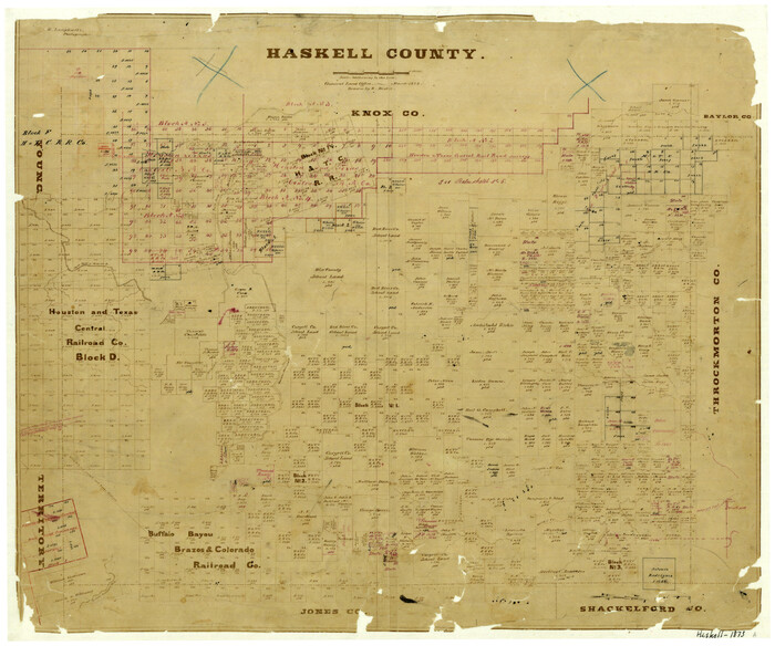
Haskell County

Print $20.00
- Digital $50.00
Haskell County
1873
Size 20.1 x 24.2 inches
Map/Doc 3642
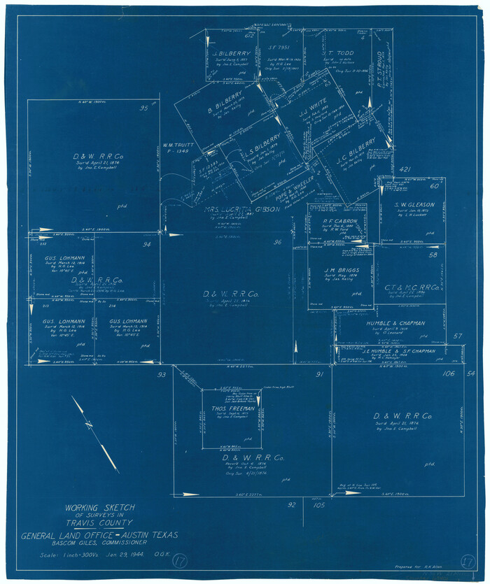
Travis County Working Sketch 17

Print $20.00
- Digital $50.00
Travis County Working Sketch 17
1944
Size 27.8 x 23.3 inches
Map/Doc 69401
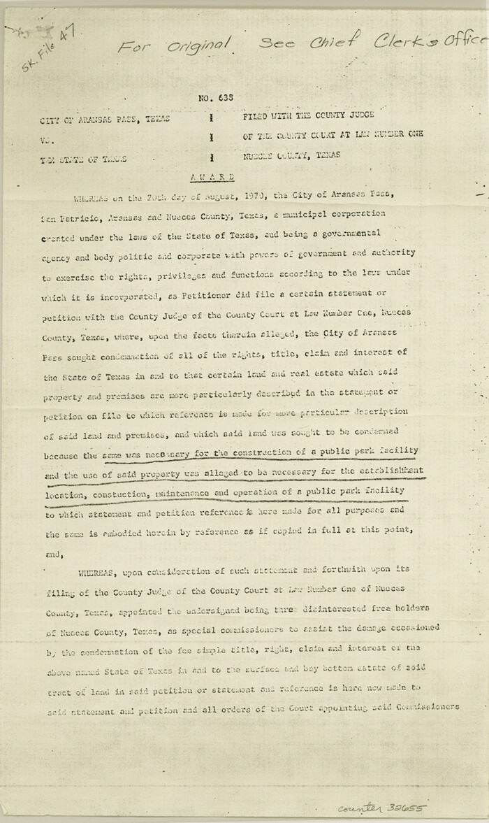
Nueces County Sketch File 47

Print $17.00
- Digital $50.00
Nueces County Sketch File 47
Size 14.3 x 8.5 inches
Map/Doc 32655
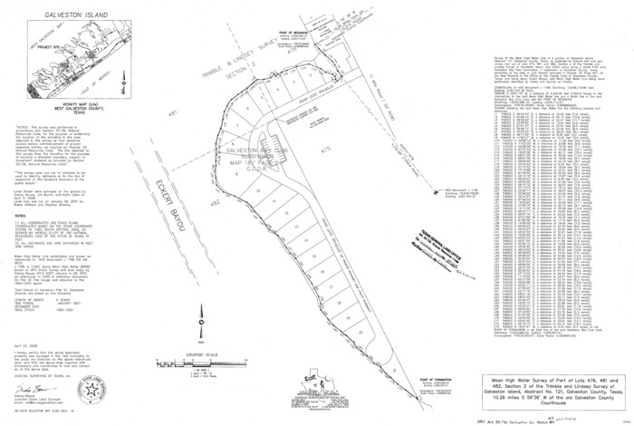
Galveston County NRC Article 33.136 Sketch 68

Print $34.00
- Digital $50.00
Galveston County NRC Article 33.136 Sketch 68
2008
Size 24.0 x 36.0 inches
Map/Doc 94840
Johnson County Sketch File 25


Print $50.00
- Digital $50.00
Johnson County Sketch File 25
Size 13.9 x 8.3 inches
Map/Doc 28459
Colorado County Sketch File 20


Print $6.00
- Digital $50.00
Colorado County Sketch File 20
Size 6.0 x 7.6 inches
Map/Doc 18954
Lipscomb County Rolled Sketch 2


Print $20.00
- Digital $50.00
Lipscomb County Rolled Sketch 2
1886
Size 24.1 x 30.2 inches
Map/Doc 6628
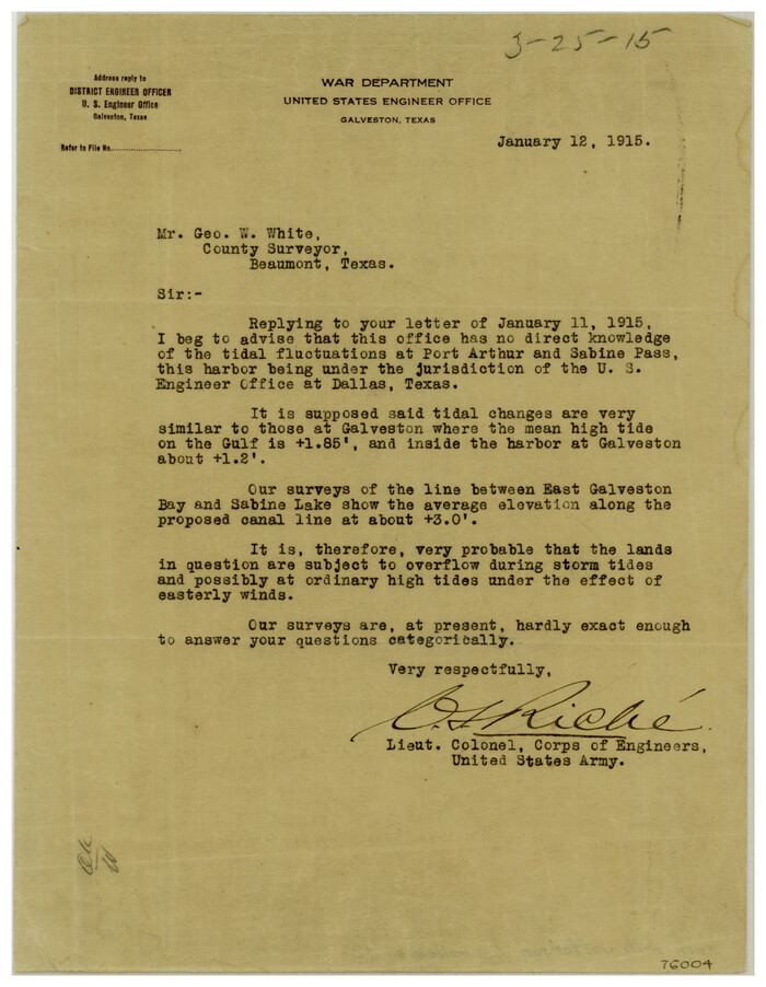
Jefferson County Rolled Sketch 12

Print $2.00
- Digital $50.00
Jefferson County Rolled Sketch 12
Size 10.6 x 8.2 inches
Map/Doc 76004
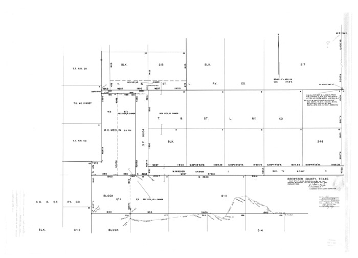
Brewster County Rolled Sketch 111

Print $20.00
- Digital $50.00
Brewster County Rolled Sketch 111
1962
Size 32.2 x 44.7 inches
Map/Doc 8512
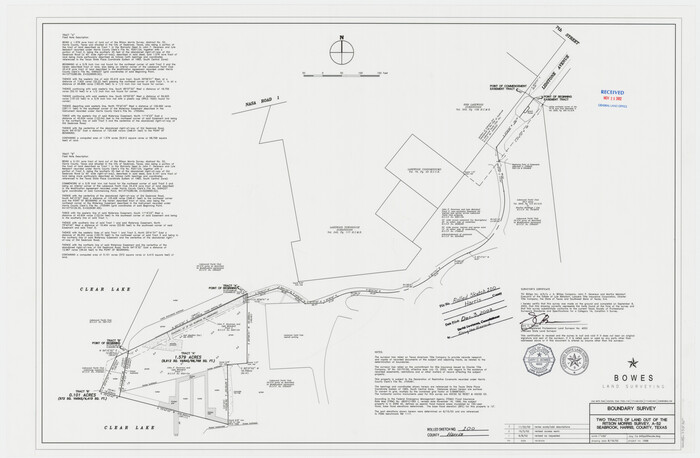
Harris County Rolled Sketch 100

Print $20.00
- Digital $50.00
Harris County Rolled Sketch 100
2002
Size 24.2 x 36.9 inches
Map/Doc 77535
You may also like
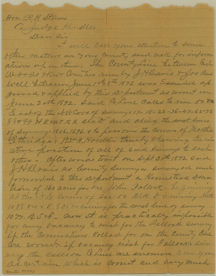
Kerr County Boundary File 3

Print $6.00
- Digital $50.00
Kerr County Boundary File 3
Size 11.3 x 8.8 inches
Map/Doc 55998
Winkler County Working Sketch 5


Print $40.00
- Digital $50.00
Winkler County Working Sketch 5
1957
Size 31.1 x 131.9 inches
Map/Doc 72599
Moxley-McWhorter Irrigated Farm


Print $20.00
- Digital $50.00
Moxley-McWhorter Irrigated Farm
1946
Size 27.5 x 15.8 inches
Map/Doc 92338
San Jacinto River and Tributaries, Texas - Survey of 1939


Print $20.00
- Digital $50.00
San Jacinto River and Tributaries, Texas - Survey of 1939
1939
Size 27.8 x 40.7 inches
Map/Doc 60308
Flight Mission No. DQN-5K, Frame 149, Calhoun County

Print $20.00
- Digital $50.00
Flight Mission No. DQN-5K, Frame 149, Calhoun County
1953
Size 18.5 x 22.2 inches
Map/Doc 84424
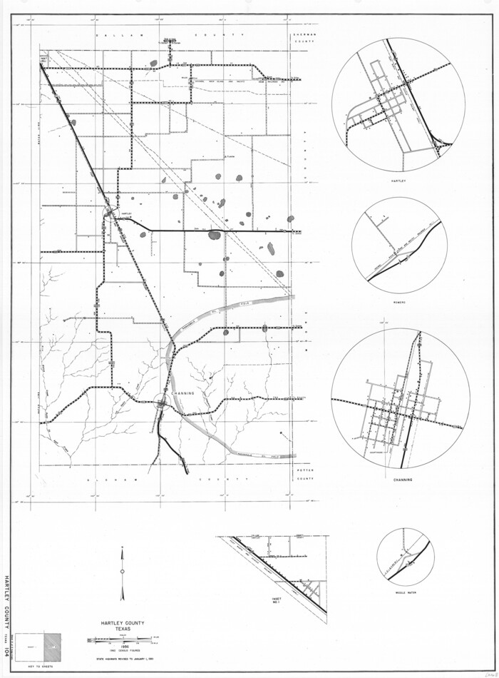
General Highway Map, Hartley County, Texas

Print $20.00
General Highway Map, Hartley County, Texas
1961
Size 24.4 x 18.0 inches
Map/Doc 79511
Brazos County Working Sketch 5


Print $20.00
- Digital $50.00
Brazos County Working Sketch 5
1978
Size 23.9 x 18.4 inches
Map/Doc 67480
Floyd County Working Sketch 10
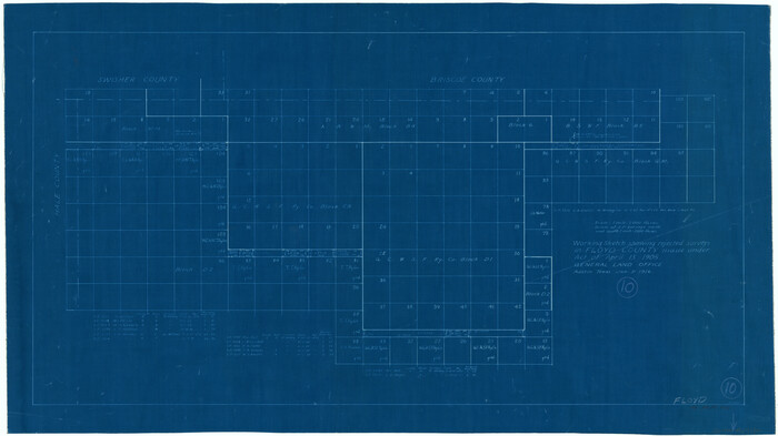

Print $20.00
- Digital $50.00
Floyd County Working Sketch 10
1916
Size 15.4 x 27.3 inches
Map/Doc 69189
Webb County Rolled Sketch 67
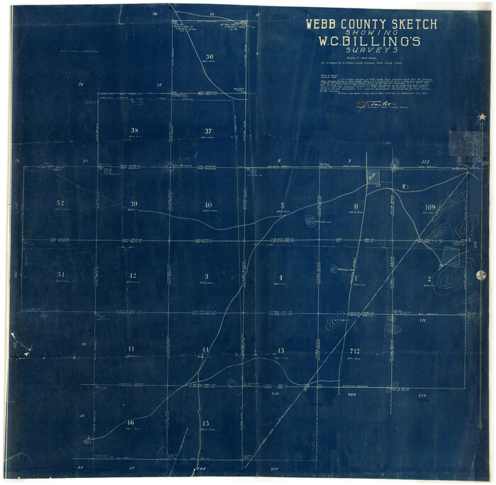

Print $20.00
- Digital $50.00
Webb County Rolled Sketch 67
1927
Size 31.4 x 32.0 inches
Map/Doc 10130
[Block V and surrounding surveys]
![90293, [Block V and surrounding surveys], Twichell Survey Records](https://historictexasmaps.com/wmedia_w700/maps/90293-1.tif.jpg)
![90293, [Block V and surrounding surveys], Twichell Survey Records](https://historictexasmaps.com/wmedia_w700/maps/90293-1.tif.jpg)
Print $20.00
- Digital $50.00
[Block V and surrounding surveys]
Size 12.0 x 12.6 inches
Map/Doc 90293
[Surveys in the Milam District Near the Upper San Gabriel River]
![247, [Surveys in the Milam District Near the Upper San Gabriel River], General Map Collection](https://historictexasmaps.com/wmedia_w700/maps/247.tif.jpg)
![247, [Surveys in the Milam District Near the Upper San Gabriel River], General Map Collection](https://historictexasmaps.com/wmedia_w700/maps/247.tif.jpg)
Print $20.00
- Digital $50.00
[Surveys in the Milam District Near the Upper San Gabriel River]
1845
Size 12.3 x 15.7 inches
Map/Doc 247
Dickens County


Print $20.00
- Digital $50.00
Dickens County
1895
Size 22.8 x 18.7 inches
Map/Doc 3484

